-
Anchorage
Anchorage
We left Homer at 6:5AM so we could make it back to Anchorage in time to drop off our luggage at the hotel and return the rental car by noon. After dropping off the rental car at Avis downtown, we chose to walk to the movie theatre (2.3 miles) to watch Where the Crawfish Sing. After the movie we walked an additional 2.3 miles to the Alex Motel where we met Dan, Vicki and Britney who were flying in from home to meet us for the cruise
Friday morning we ate breakfast together at the hotel before walking to the bus stop and catching a ride to downtown. We started at the Visitor’s Center and then walked across the street to the Federal Building to see the displays and watch the movies about the Goldrush and the 1964 Earthquake.
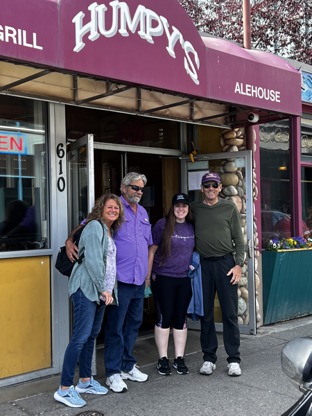
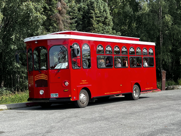
We ate lunch at Humpy’s Grill and then took a deluxe Trolley Tour of Anchorage.
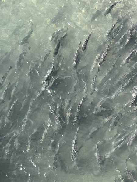
On the tour we stopped at the Fish ladder and saw thousands of salmon swimming upstream.
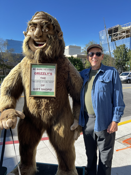
We drove by the Alaska Train Depot and saw the “Moose Gooser” which was used to push Moose off the tracks before they were killed by the train that followed.
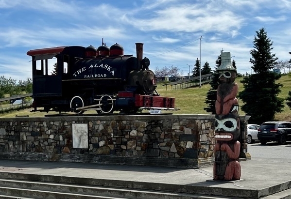
We stopped at Earthquake Park where 75 homes once stood in Anchorage’s Turnagain Heights neighborhood before the 9.2 magnitude Great Alaskan Earthquake on March 27,1964. The land was dropped as much as 40 feet and slid as far as 2,000 feet away from its original location. The earthquake was the largest in US history and the second largest ever recorded in the world.
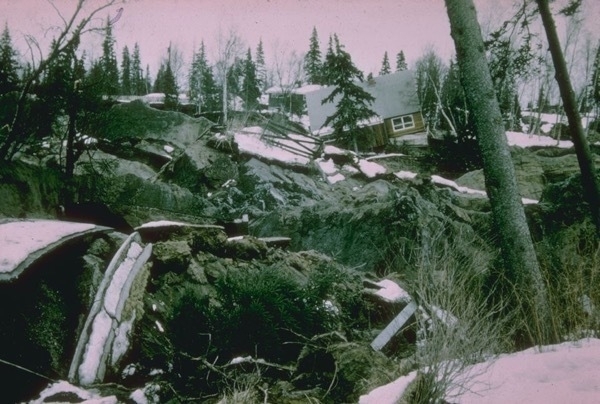
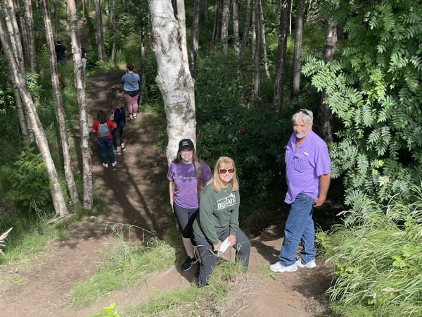
58 years later the land were the houses fell is still dropped and wave-like, but now it is covered by birch and spruce trees. These hardy trees are able to thrive above the permafrost.
-
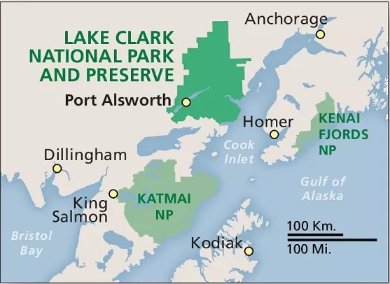
Lake Clark National Park - Our #54 National Park
Lake Clark National Park
This morning we met our guide at 7:00AM for a six hour guided tour by boat to Lake Clark National Park. The group included the guy that drove the boat, our guide Trevor, and four other people. The weather was perfect and the seas were calm for our two hour ride to the park. This park can only be accessed by float plane or boat.
The park was first proclaimed a national monument in 1978, then established as a national park and preserve in 1980 . The park includes many streams and lakes vital to the Bristol Bay salmon fishery, including its namesake Lake Clark. The park protects rainforests along the coastline of Cook Inlet, alpine tundra, glaciers, glacial lakes, major salmon-bearing rivers, and two volcanoes, Mount Redoubt and Mount Iliamna. Mount Redoubt is active, erupting in 1989 and 2009.
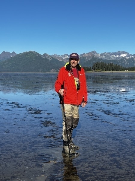
Once we arrived at the coastline for the park, we spent the entire day walking in the low tide waters. There we walked over 5 miles in water and muck to view the park and bears.Three times my foot came out of my boot because my boat got stuck in the muck. I fell into the water twice and so did Tom.
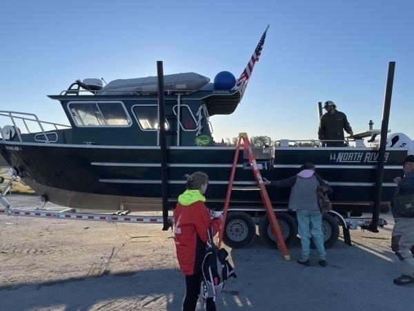
In the morning each of us climbed the ladder into the boat while the boat was still on land.
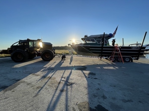
This big tractor pulled us INTO the water. That was a first for us! (When we returned, the tractor was in the water and pulled us back on shore).
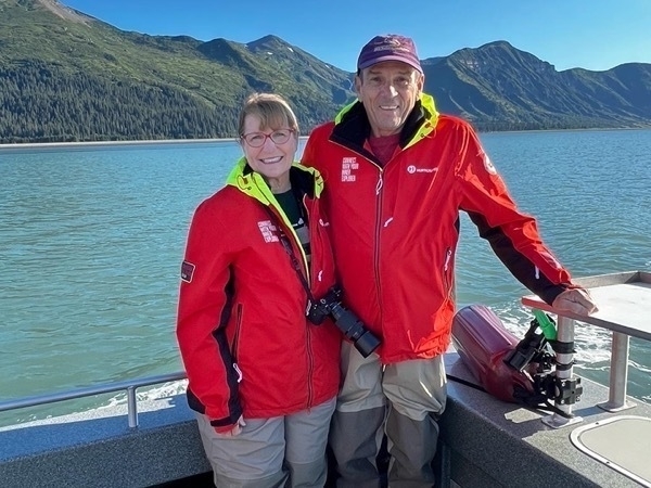
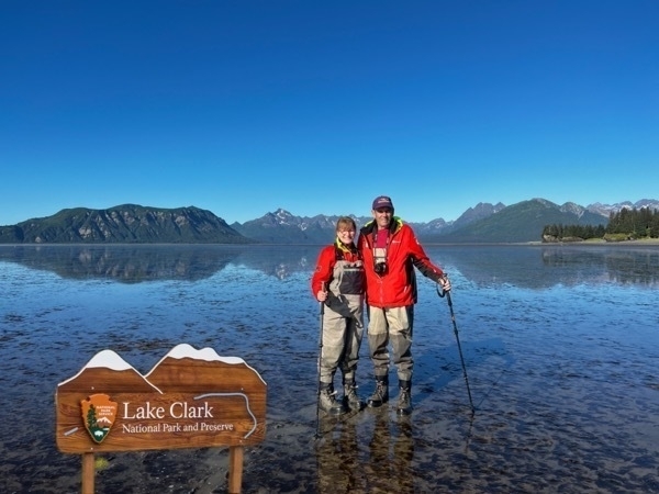
We briefly stood outside on the boat for this photo opportunity and then moved inside. It was 49 degrees at this point in the morning.
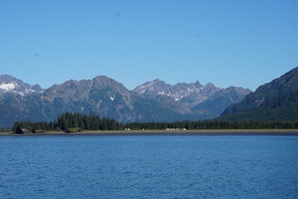
Finally, we saw the shoreline!
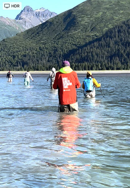
The boat was not able to come near the shoreline because of low tide. We had to get off and walk in the water to shore.
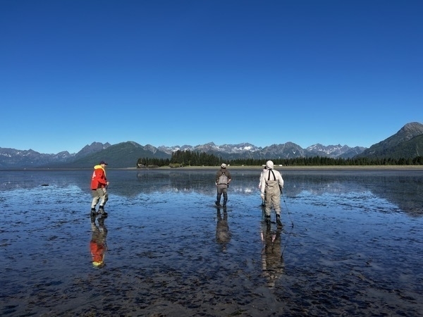
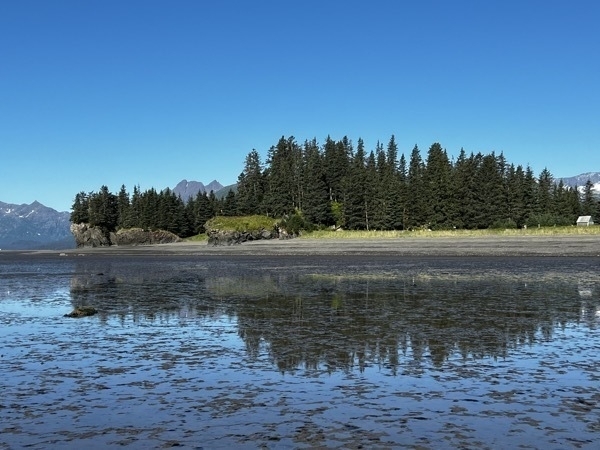
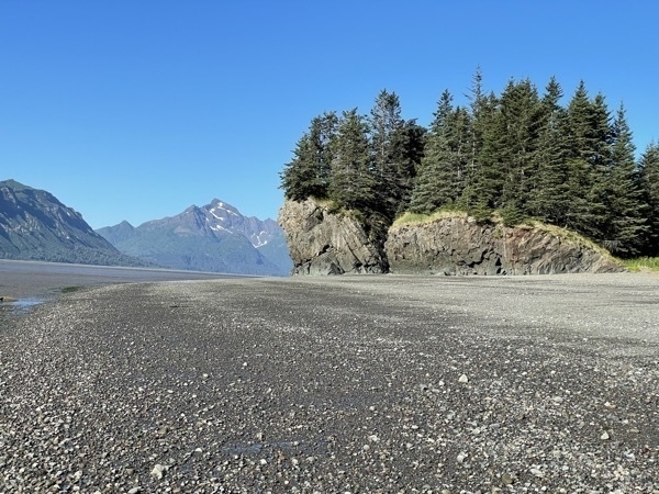
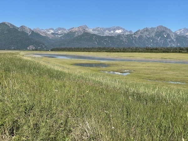
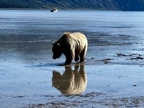
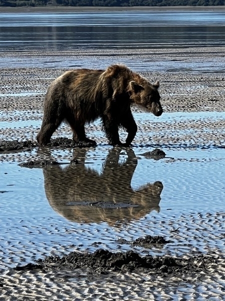
We spent the morning watching the bears dig for clams and eat them.
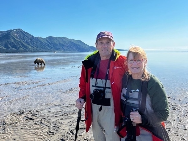
Our photo opportunity with a bear in the background!
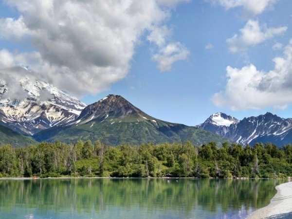
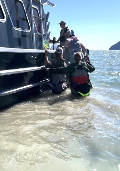
Here I am getting back on the boat. After falling in the water TWICE when my boats stuck in the muck, I was soaking wet. It was a COLD ride back!!
This was a much more grueling day than we expected. We were both very sore and worn out by the time we got back to Homer. We stayed at the Stay and Play B&B while in Homer.
-
Katmi National Park-our 53rd National Park
Katmai National Park
Katmai National Park was our destination for today and it was quite an adventure! It is located in southwest AK and the only way to get there is by boat or float plane, so we booked a guided tour with Emerald Air.
The park is known for its many brown bears and for the Valley of 10,000 Smokes (named after the 1912 eruption of Novatupta. Following the eruption, thousands of fumeroles vented steam from the ash).
We were given hip waders to wear because when we landed on the water, we had to walk to shore. Plus, many times during the day we walked across streams. We walked 4 miles while enjoying the beautiful scenery and looking for bears.
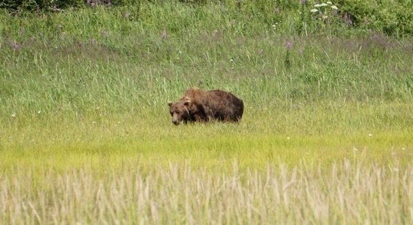
We saw at least 18 bears, but my cellphone didn’t capture how magnificent they were.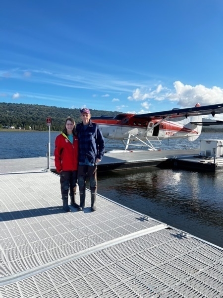
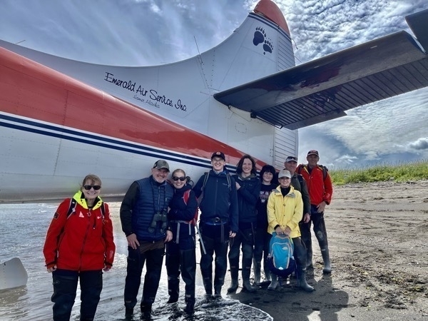
Here we are at the dock waiting to board our float plane. Please notice the fashionable waders we are wearing.
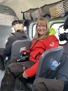
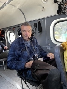
There were ten of us on the plane. Our pilot does this as a side job. His real job is with special ops in Panamal. We were definitely in very capable hands!
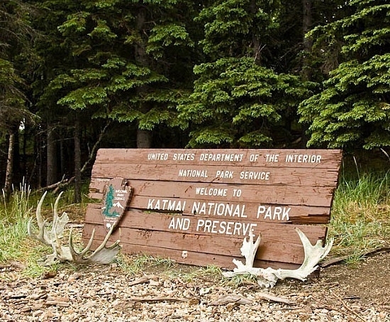
This sign is a picture from the internet. Where we landed was so remote there were definitely no signs!
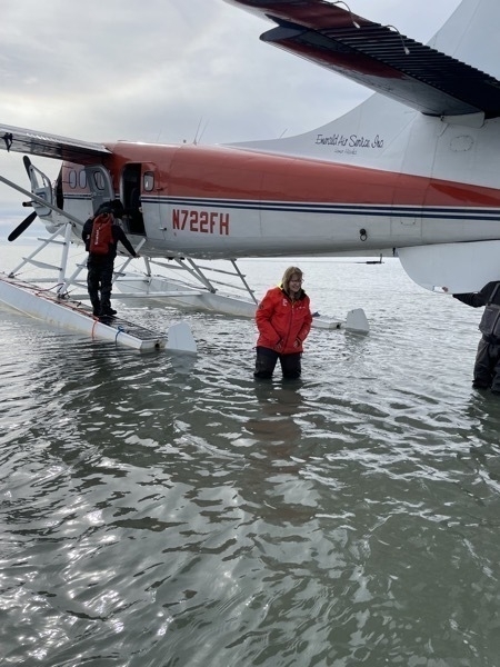
We landed in the water and had to walk to shore. When the first men with our tour got out of the plane, the water was so deep that it when into their waders. They got back up on the float and paddled the plane a little closer to shore.
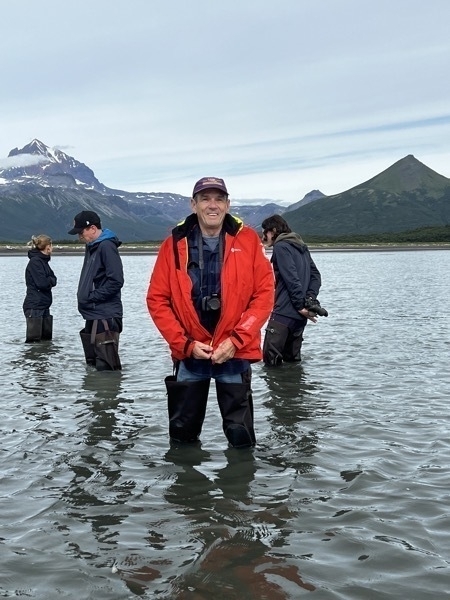
Notice with Tom’s long legs he’s higher out of the water than the rest of us.
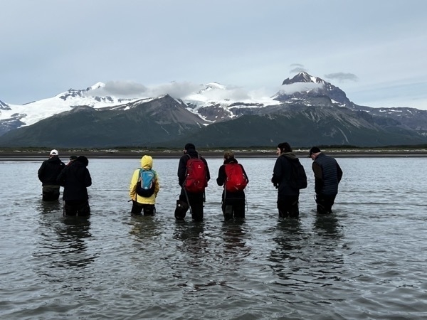
Here is a picture of the rest of the group walking to shore. Three of these were from North Carolina and four were a family from Poland.
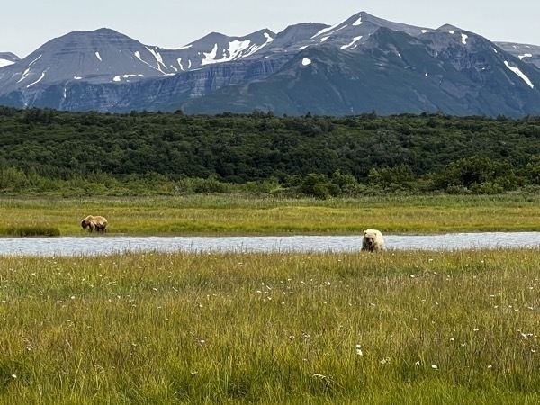
We’ve sighted some bears!
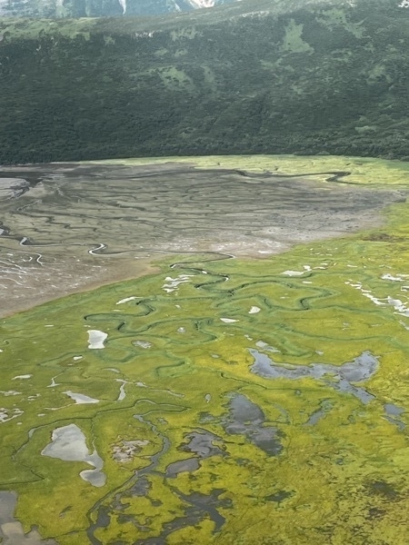
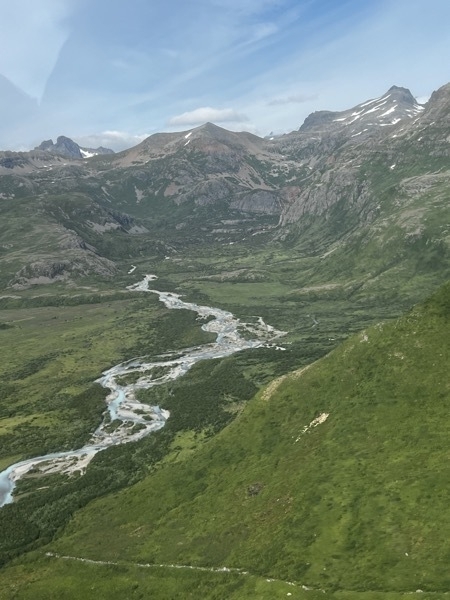
When I saw these streams from the air, I didn’t realize we’d be walking across some of them in search of bears!
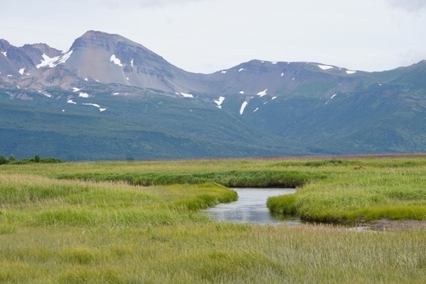
One of the streams we walked acrosss.
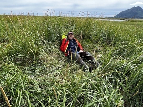
Tom is literally sitting in a bear’s bed!
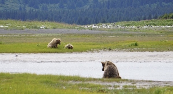
We spent several minutes watching this male bear watch the female and cub on the other side of the water.
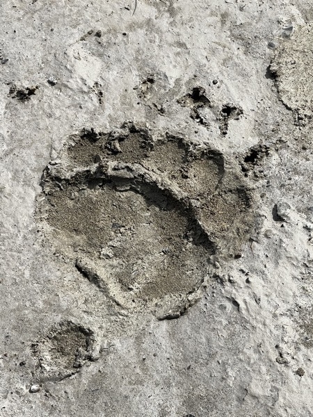
This bear print was huge!
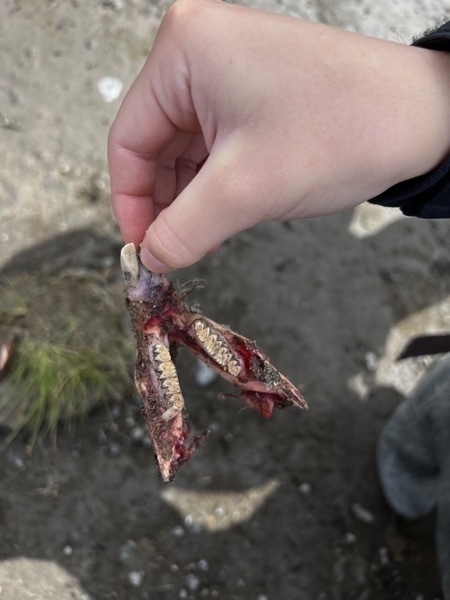
We found this set of teeth from a beaver that one of the bears ate.
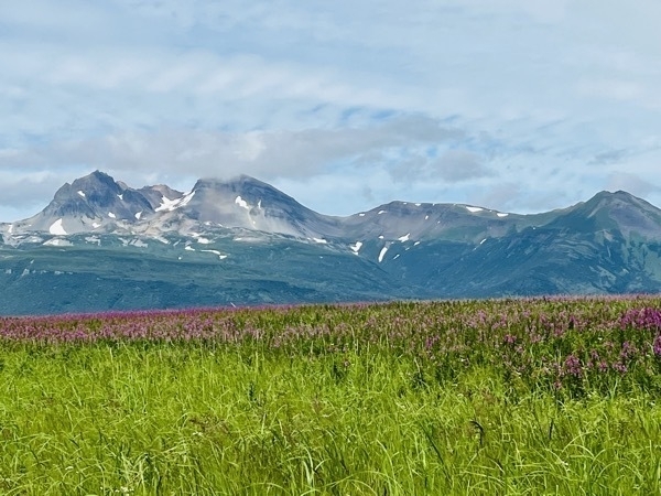
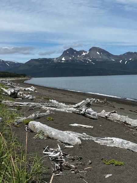
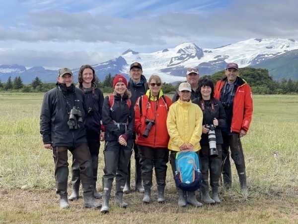
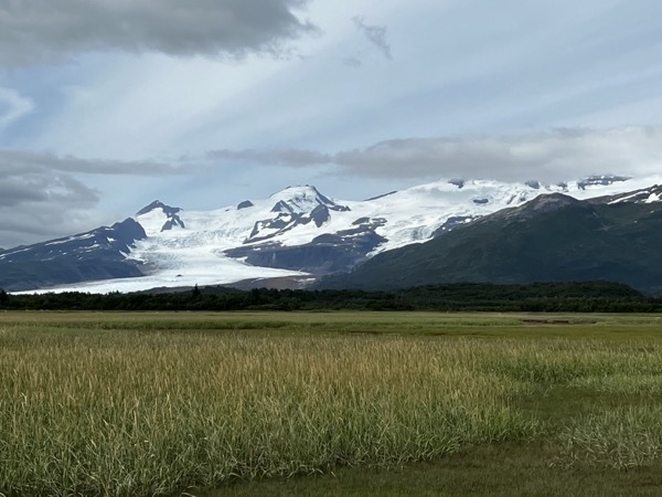
Our group picture with a glacier in the background.
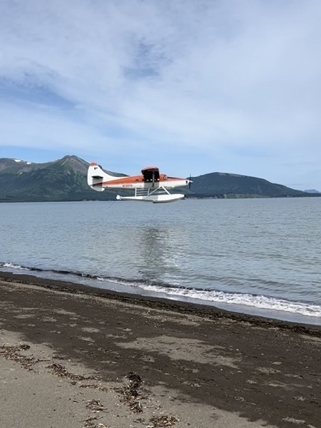
Here’s the plane coming back to get us!
Ready to board the plane for our 1.5 hour trip back to Homer.
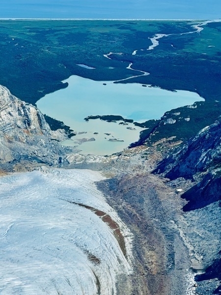
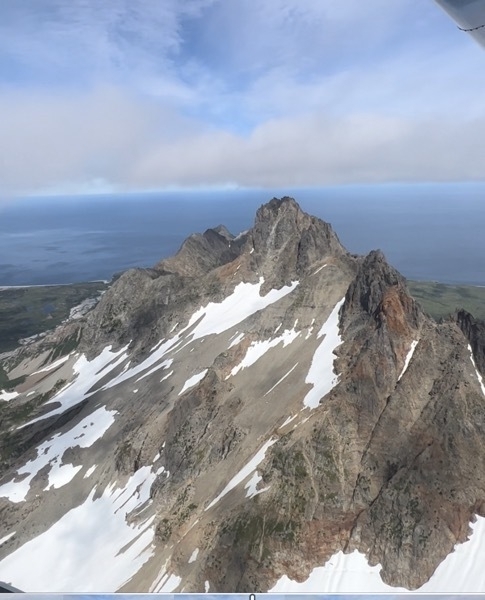
Some beautiful views from the sky!
This was definitely a huge bucket list experience.
-
Homer, Alaska
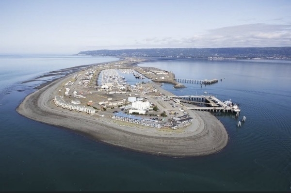
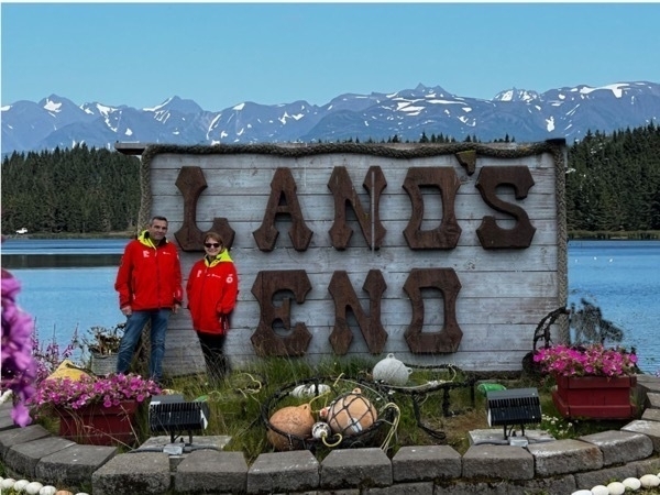
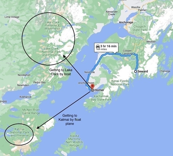
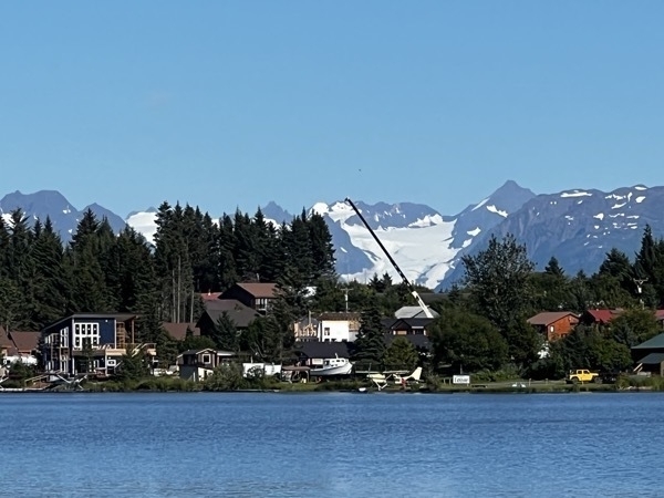
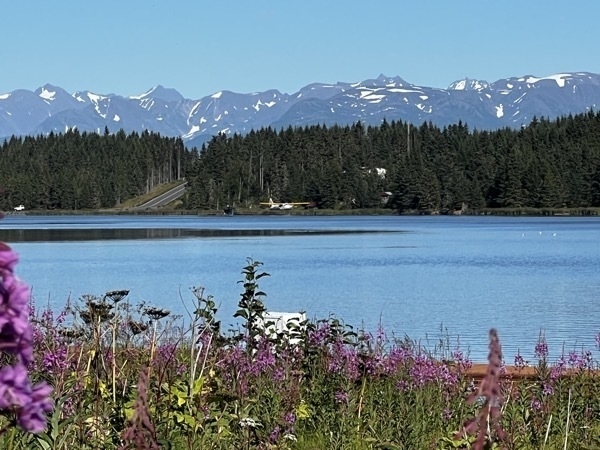
We drove from Seward to Homer, Alaska where we hope to see two more National Parks. Homer is a beautiful town set against a gorgeous backdrop of tall snow-capped mountains on Kachemak Bay. A focal point is the Homer Spit of land with RV parks, restaurants and beaches. We stayed at the Stay and Play B&B and left for Katmai and Lake Clark National Parks from here.
-
Kenaii Fjords National Park-our 53rd National Park
Kenai Fjords National Park
We started the day by driving from Eagle River (near Anchorage) to the entrance into Kenai Fjords National Park.
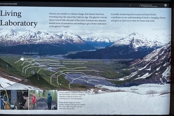
The park contains the Harding Icefield, one of the largest ice fields in the United States, and is named for the numerous fjords carved by glaciers moving down the mountains from the ice field. The field is the source of at least 38 glaciers, the largest of which is Bear Glacier. The fjords are glacial valleys that have been submerged below sea level by a combination of rising sea levels and land subsidence.
After our obligatory photo opportunity at the sign, we drove to the parking lot for Exit Glacier, a popular destination at the end of the park’s only road.The remainder of the park is accessible by boat, airplane, and hiking.
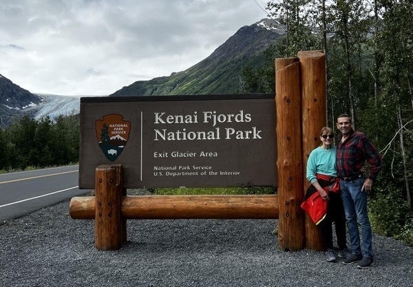
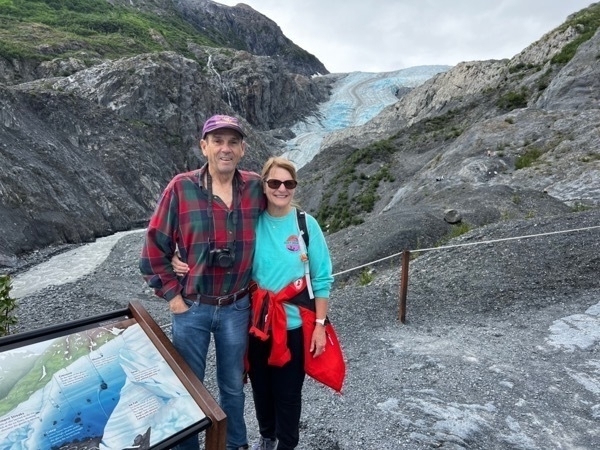
Here we are at the entrance to the park. Notice Exit Glacier to the left in the background.
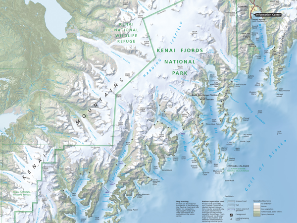
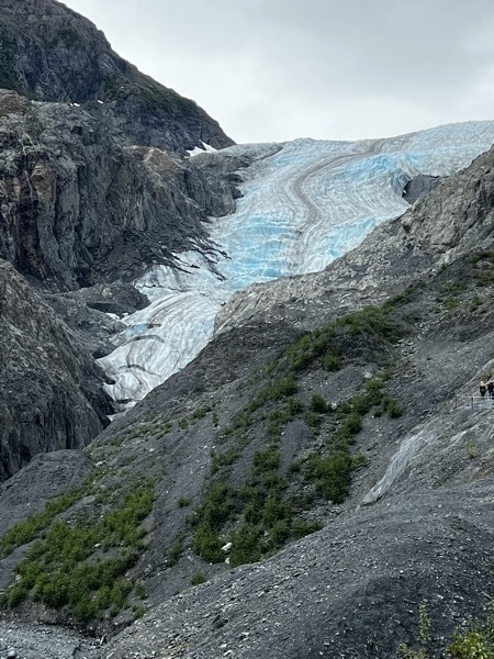
The Exit Glacier
Kenai Fjords Dinner Cruise
After the hike we drove into the town of Seward to eat lunch and then boarded a Kenai Fjords Dinner Cruise. The cruise left at 3:00 and got back at 8:30. Along the way we saw seals, sea lions, sea otters, two eagles, a black bear, a hump back whale and an orca whale,
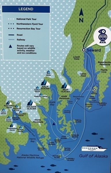
The white dotted lines mark our trip.
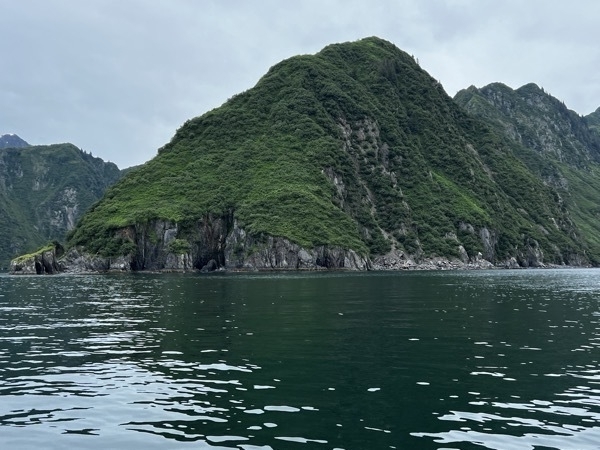
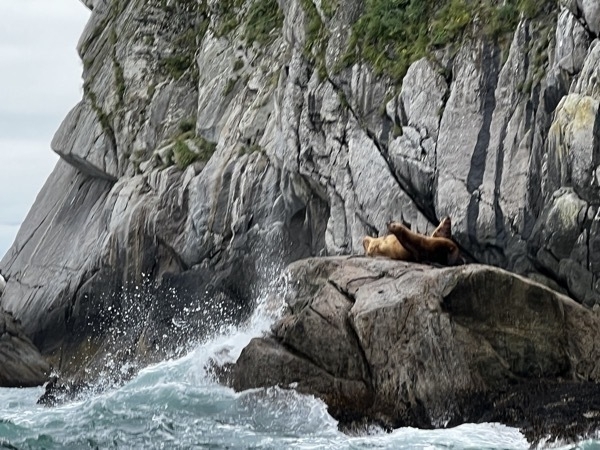
Sea lions playing on the rocks
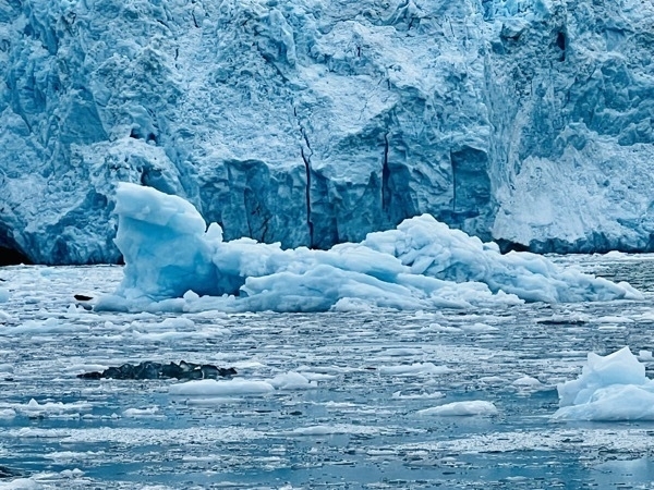
Icebergs floating close to the base of the glacier.
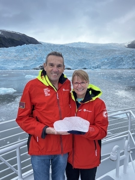
We are holding a piece of glacial ice that the guides retrieved from the water
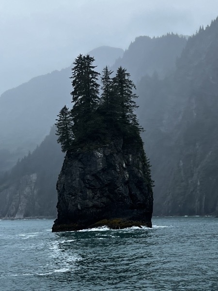
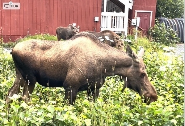
On our way to our cabin in the evening we passed this moose and her calf eating some grass in someone’s yard.
-
Matanuska Glacier, Sutton, AK
Matanuska Glacier
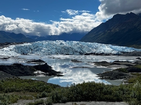
The Matanuska is a valley glacier located right off the Glenn Highway in Sutton, AK. It is 27 miles deep and about 4 miles wide.
On the way to Glennallen we ate at the Long Rifle Restaurant and were seated right by the window where we could see the glacier. We decided to stop and hike on it on the way back. It’s on private property so there is a charge to walk on it, but that price ($125) includes a guide, a pole and hiking spikes for our shoes.
During the summer melt up to 172 million gallons of water an HOUR melt and drain into the Matanuska River.
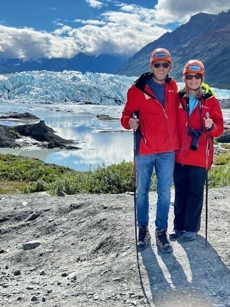
Here we are with our hiking poles ready for the adventure
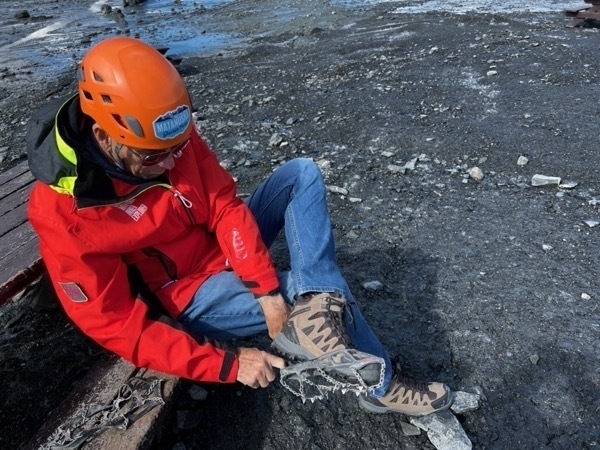
Tom is pulling the hiking spikes over his boats
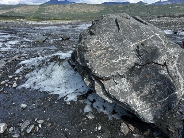
The guide explained that a rock shades the ice underneath and a pedestal is formed. The pedestal grows higher and thinner until the ice breaks off and the rock rolls forward. It’s not unusual for a rock this size (about six feet across) to move 20’ during the melting season.
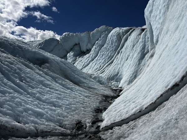
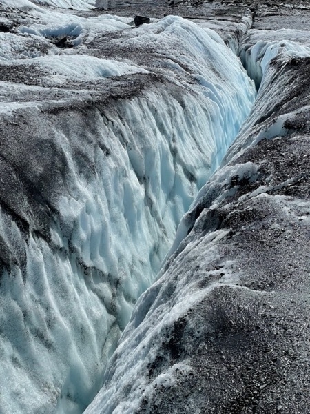
Crevices in the ice like this one can be 100’ deep.
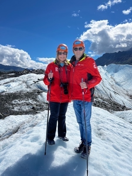
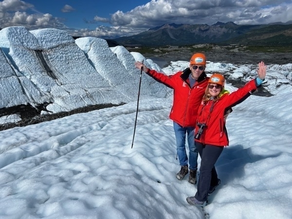
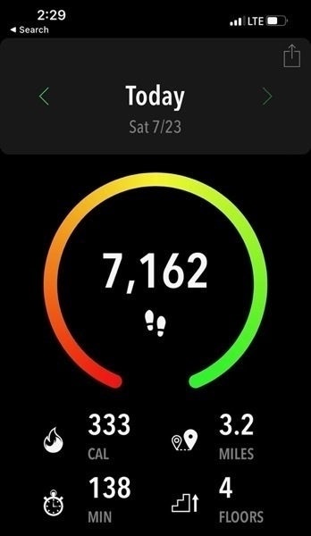
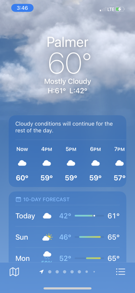
It was a perfect day to be hiking on the glacier. The 3.2 miles were a little harder than walking on dry ground!
-
Wrangell-St. Elias National Park-Our #52 National Park
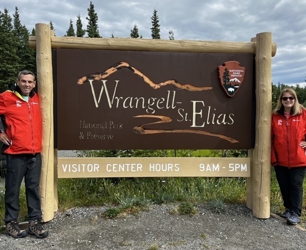
Wrangell-St. Elias National Park
Fun facts from the National Park Service:
1. The lowest elevation found in Wrangell-St. Elias is 0 feet at the Pacific Ocean and the highest is 17,008 feet on Mt St. Elias. Who knew that???
2. Wrangell-St. Elias National Park is by far the largest national park in the United States. At over 13 million acres, it is nearly six times the size of Yellowstone, a huge national park itself.
3. At 18,008 feet, Mount Saint Elias is the second tallest peak in the United States and Canada, and the highest point in Wrangell St. Elias National Park.
4. The park is larger than Switzerland !
5. Grizzly bears in the park can reach 10’ tall here
6. 9 of the 16 tallest peaks in the US are located here.We enjoyed our day in the park, but now we realize we didn’t allow enough time to really see and enjoy its vastness and diversity. We should have allowed at least three days!!!
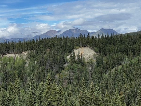
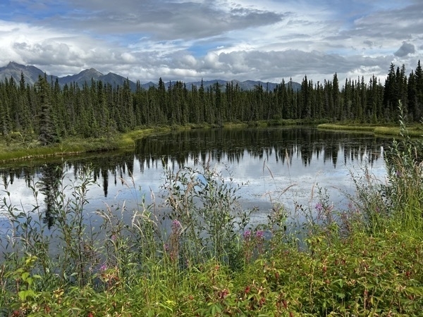
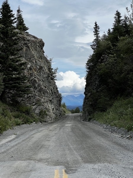
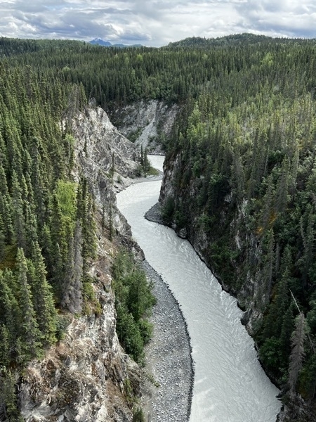
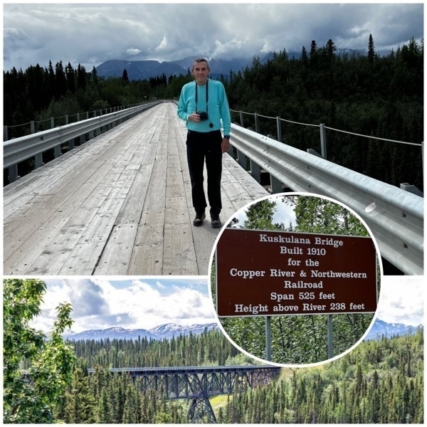
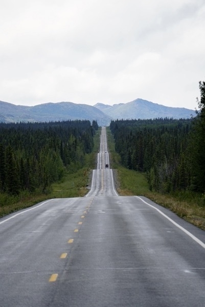
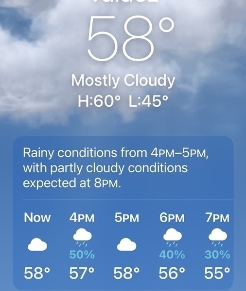
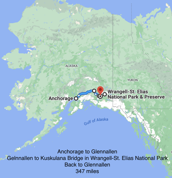
-
ALASKA!
WE’RE BACK IN ALASKA!!!
We flew to Anchorage from Lake Charles and arrived late on Wednesday night. Thursday morning we rode an Uber downtown to the Avis Rental Car agency to get our rental car.
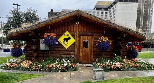
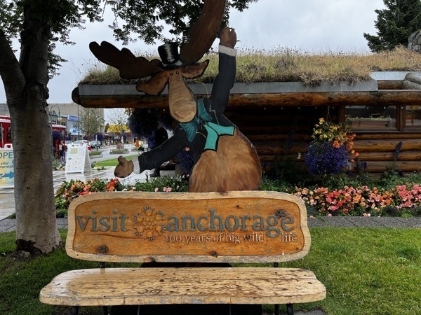
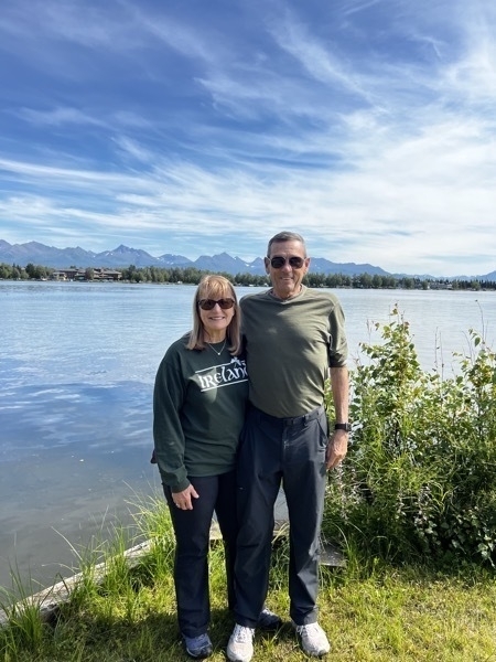
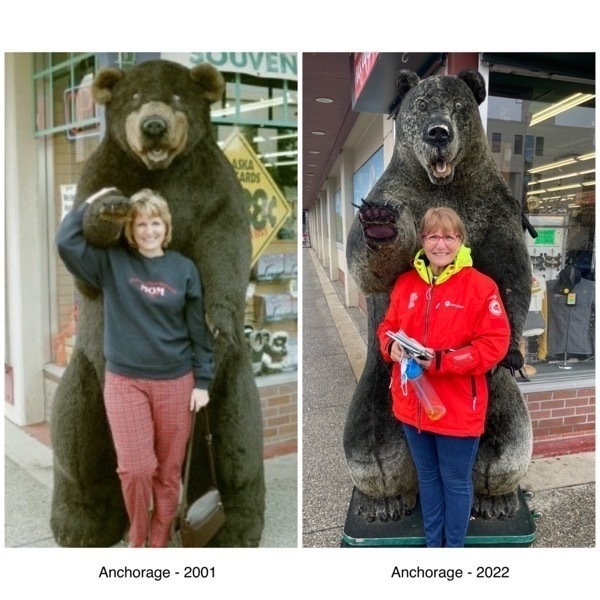
Our first trip to Anchorage was in 2001 when we cruised here with Princess. The second trip here was our amazing trip when we drove our motorhome 2018. I thought I’d include a throwback picture comparison.
Diving to Glennallen
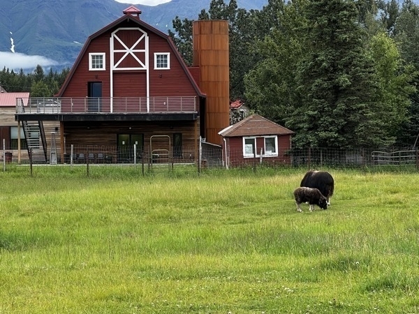
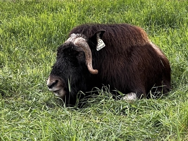
In the afternoon we drove from Anchorage to Glennallen, with a stop in Palmer at the Visitor’s Center . From there we stopped at the Musk Ox Farm to take a tour. These animals are native to the Arctic and is known for it’s thick coat. Their quiviut is combed in the spring each year and spun into a very soft (and expensive) yarn.
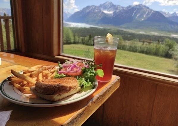
After touring the Musk Ox farm we drove an hour or so before stopping for dinner at the Long Rifle Lodge. Talk about dinner with a view! We were able to see the Mananuska Glacier from our table!
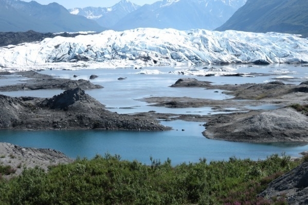
The glacier is located on private property. When we were here in in 2018 we paid to walk on it, but nowN
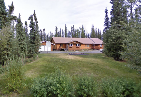
We stayed at the Angler’s Inn in Glennallen. The B&B had six rooms with a common kitchen and living area.
-
Charleston, SC
Boone Hall Plantation
Boone Hall is located in Mt. Pleasant, SC, and is one of America’s oldest plantations still in operation. It has continually produced agricultural crops for over 320 years.
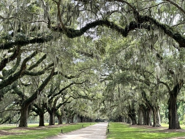
We entered the plantation by driving along the Avenue of Oaks. These trees were first planted in 1743 and completed by the Horlbeck brothers in 1843. Since that time, only two oak trees have died—one in Hurricane Hugo and the other by disease. The avenue consists of 88 live oak trees and one magnolia that are evenly spaced.
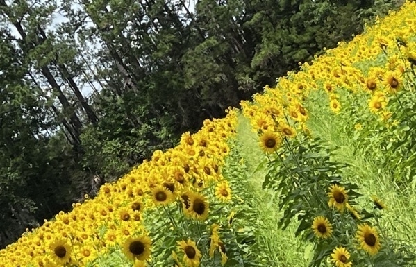
While taking a tour of the plantation, we drove by this field of sunflowers.
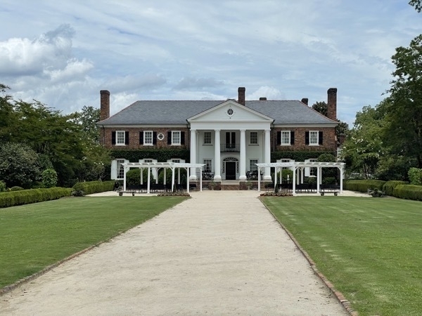
This home was built in 1936 and is the third home to be built on this location.
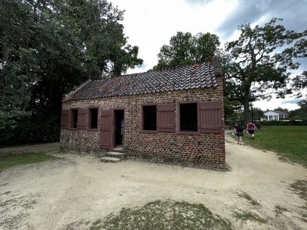
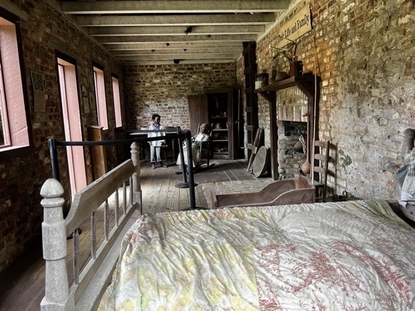
The most important historic structures on the property are the brick slave cabins located along Slave Street which date between 1790 and 1810. While the Horlbeck brothers have received credit for “building” many houses and public spaces in downtown Charleston using the brick from their plantations, enslaved workers had made the bricks and others accomplished the actual construction under the watch of the Horlbecks and their overseers. The work of talented enslaved people, with self-taught and acquired skills, including carpentry, mathematics, and geometry, were central to the construction and appearance of many Charleston-area structures. By 1850, these laborers produced 4 million bricks, by hand, per year. The fingerprints of these workers are still visible in the bricks of many of these historic sites. (McGill, Joseph (July 26, 2014). “Who Built Charleston | | The Slave Dwelling Project”. )
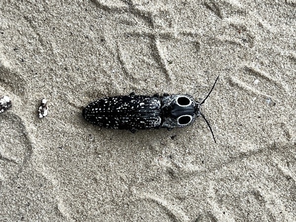
Eye Click Beetle that I spotted on the property
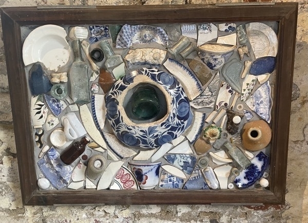
Stoneware found under the slave quarters
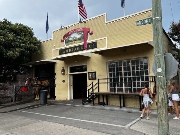
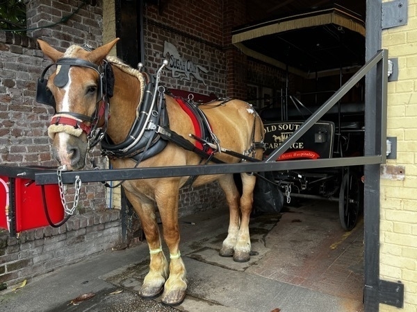
Old South Carriage Company
We took a horse and buggy tour with Old South Carriage Company which was really interesting! The tour covered more than 2.5 miles and 30 blocks in historic Charleston with a very knowledgeable guide who shared interesting history.
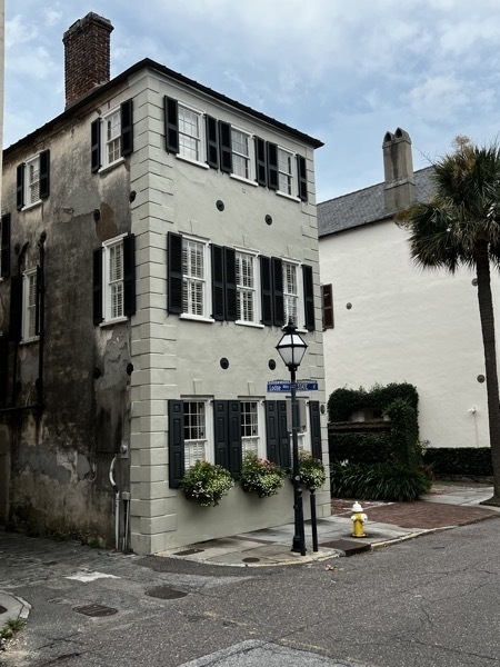
Charleston sits on the Woodstock fault line and experienced a major earthquake in 1886. As a result many of the homes and buildings have earthquake bolts to bring the walls back in proper alignment.(four round bolts pictured below).
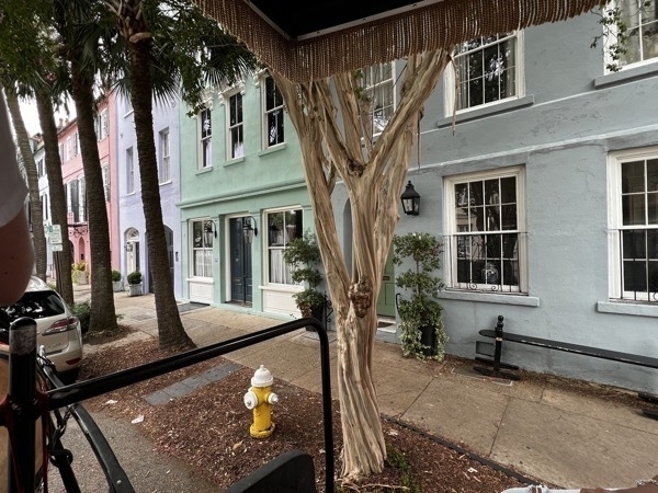
Rainbow Row is a row of pastel-colored historic homes located on East Bay Street, just along the Battery.These historic homes were first constructed around 1740 and were used by merchants who would run their business on the ground floor and live on the top floor.
c
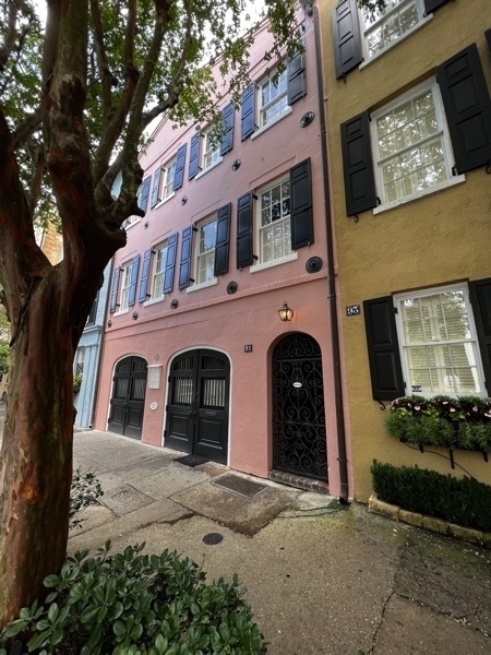
Inglis Arch House was constructed in 1778
-
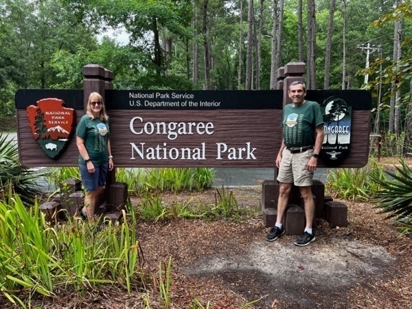
Congaree National Park, our 51st National Park
Congaree National Park is the largest intact expanse of old growth bottomland hardwood forest remaining in the southeastern United States. The park is located 16 miles southeast of the state capital, Columbia. The park preserves the largest tract of old growth bottomland hardwood forest left in the United States.
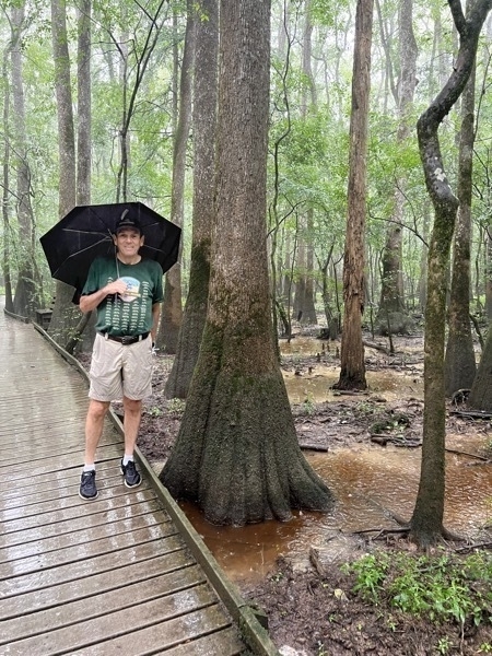
When we arrived at Congaree, it was sprinkling, but by the time we approached the boardwalk to start the 2.5 mile walk, it was pouring!
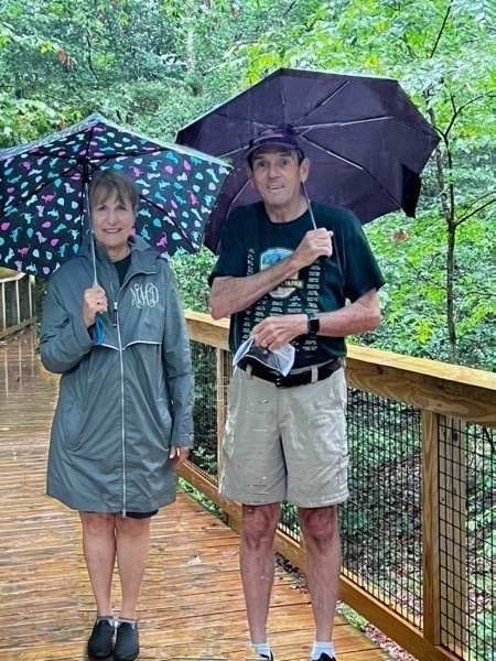
Good thing we had umbrellas in the car!
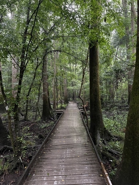
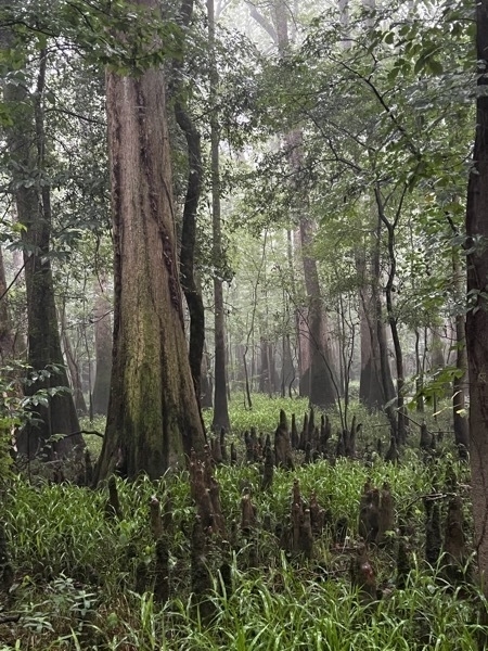
Cypress knees were all around!
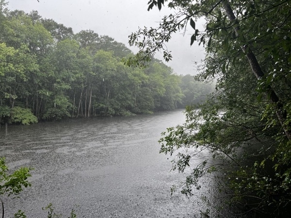
The Congaree River flows through the park.
-
Day 12 Ireland - Wicklow
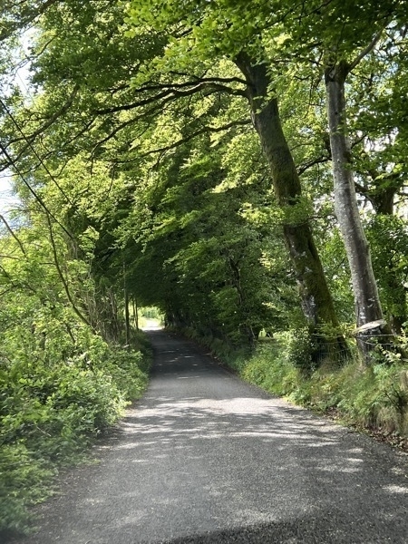
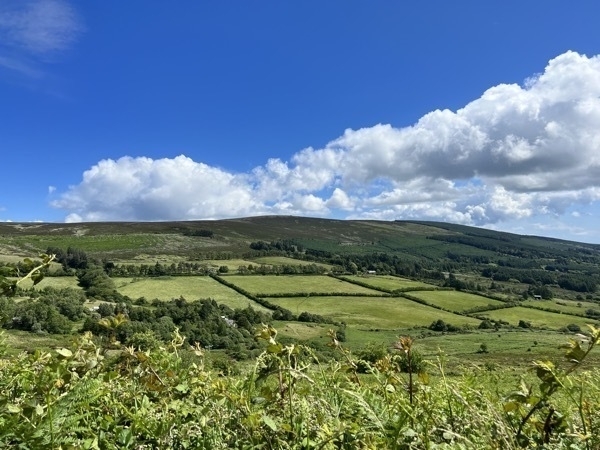
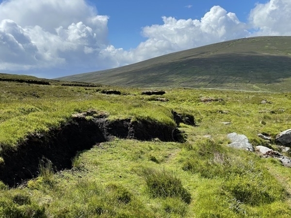
We drove from Kilkenny to Wicklow with a stop at Sally Gap because of a recommendation by fellow B&B guests at breakfast . Sally Gap was merely an intersection in a very hard to get to location. The roads were very steep and narrow, and if that weren’t enough to contend with, we kept encountering bicyclists!
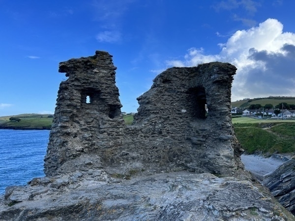
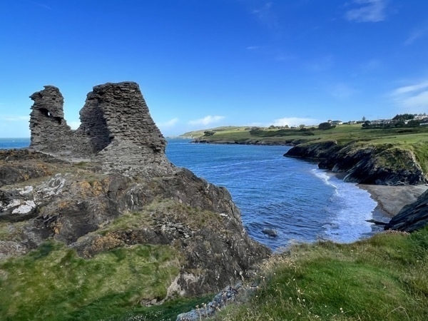
The ruins of Black Castle stand on a rocky headland looking out across Wicklow and the North Wicklow coast. The castle was built around 1176 following the Norman invasions,
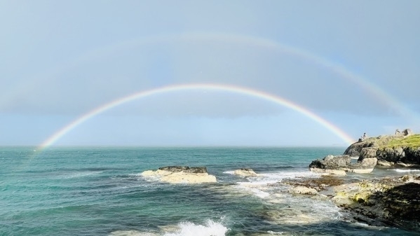
Beautiful rainbow in Wicklow
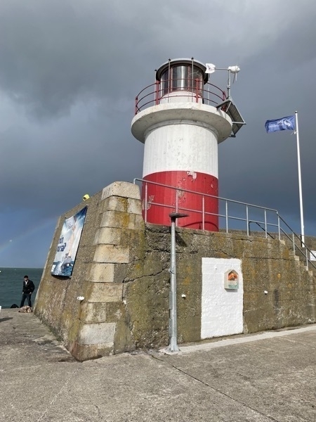
Wicklow lighthouse
After walking the city in the late afternoon, Tom had fish and chips and I had a pizza for dinner.
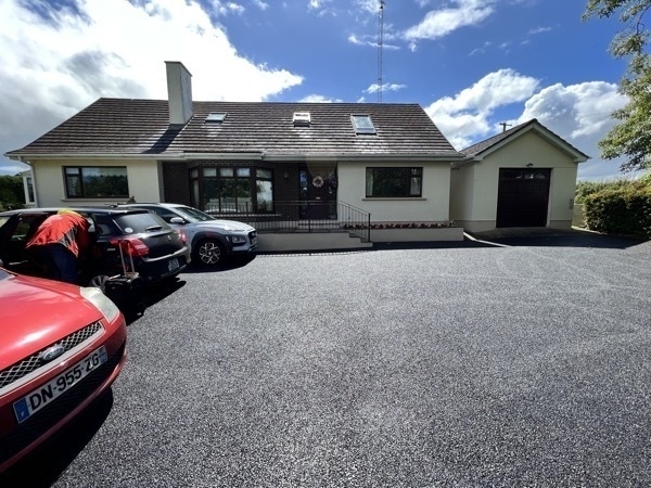
Glen na Smole B&B
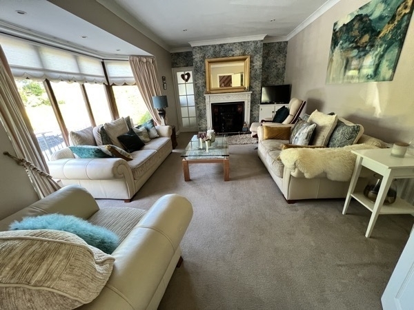
We enjoyed sharing the evening in the sitting room with another couple that was also staying here.
-
Dublin, Ireland
The final stop of our two weeks in Ireland was Dublin. We used the Big Red Bus to tour the city and then used a combination of the bus and walking to get to the different sites we wanted to see.
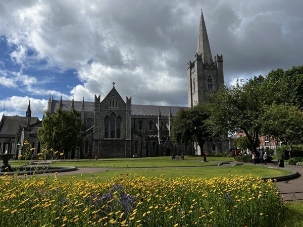
St. Patrick’s Cathedral, the national cathedral for the Church of Ireland.It is over 800 years old and is the largest cathedral in Ireland.
St.
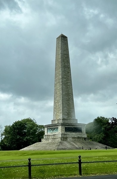
Wellington Monument is 203 ‘ tall and the tallest obelisk in Europe. (The Washington Monument is 555’ by comparison). It is also know as the Wellington Testimonial, built to commemorate the victories of Arthur Wellesley, 1st Duke of Wellington. He is among the commanders who won and ended the Napoleonic Wars when the coalition defeated Napoleon at the Battle of Waterloo in 1815. He also served twice as the prime minister and the United Kingdom.
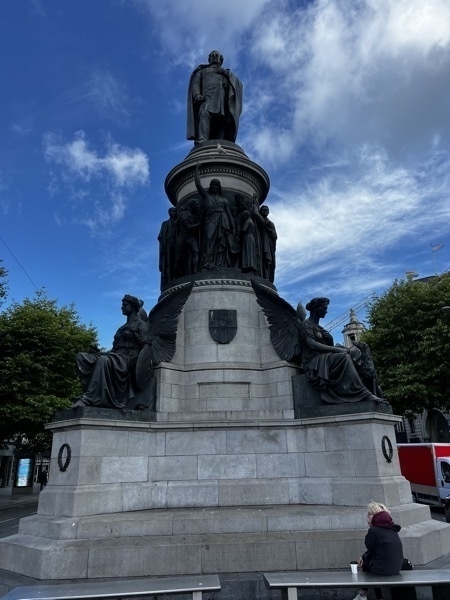
O'Connell Monument
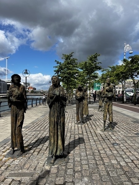
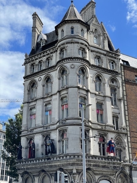
National Wax Museum —notice the superheroes!
Trinity College
Trinity College was founded in 1592 and is Ireland’s most prestigious university. Admission is based exclusively on academic merit. It was established as a protestant university although Catholics were admitted from the beginning. However, graduates had to take an oath that was objectionable to the Catholic Church. That requirement was dropped in 1793, but there were other restrictions that did not allow professors, fellows or scholarships be awarded to Catholics. Although Catholics were not banned from attending the University, the Catholic hierarchy discouraged it. Women were first admitted in 1904 and now the president of the University is a woman named Linda Doyle.
A graduate assistant gave us a campus tour which was very interesting. He told us his graduation ceremony was totally in Latin and when the students are awarded their degrees they are lined up by grade point average.
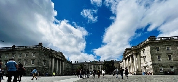
The Library of Trinity College is Ireland’s largest research library and is legally entitled to a copy of every book published in Great Britain, Northern Ireland and Ireland. Consequently the library receives over 100,000 new items every year and now contains over 5 million books. The Book of Kells (believed to have been created in 800AD, is an illustrated manuscript of the four gospels of the New Testament and is by far the Library's most famous book and is in the Old Library.
-
Ireland Day 11 - Rock of Cashel and Kilkenny
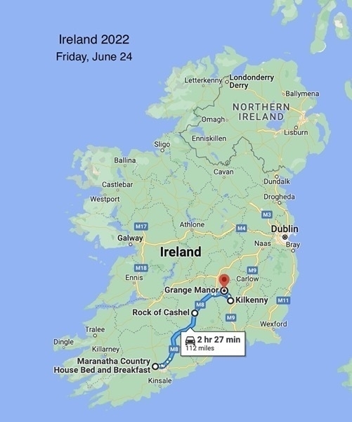
We didn’t leave our B&B this morning until 11:30 as we’ve been pushing ourselves pretty hard and just decided to have an easier day. We drove 63 miles to the Rock of Cashel, but it was raining when we got there so we decided to just take pictures and drive on to Kilkenny. This is the first rain that we’ve had and it rained pretty hard most of the day.
Rock of Cashel
As we drove into the town of Cashel, the castle loomed high above the city.
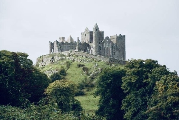
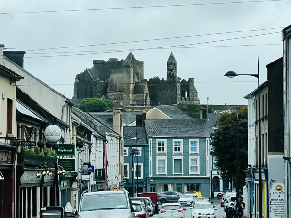
Since it was such a dreary day, we checked into our B&B at 3:00 in the afternoon. The owner convinced us to drive into Kilkenny and enjoy the town since it would be our only day here. With rain pants and jackets we walked the streets of Kilkenny .
The Grange Manor, Kilkenny
The bedroom we stayed in was in the back of the house and that part of the house was built in 1595!!!!! The front part of the house was added in the 1700s.
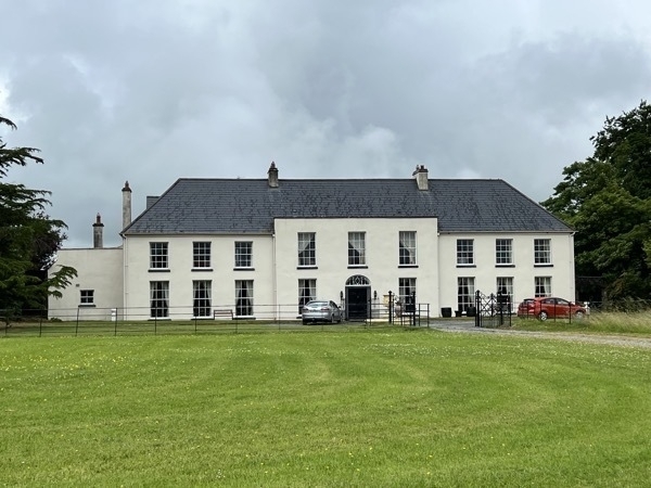
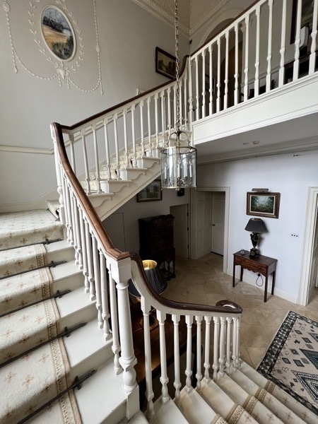
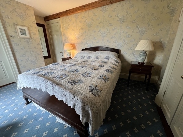
Can you imagine sleeping in a home that old??
Kilkenny
Kilkenny is a medieval town in southeast Ireland.. The town has deep religious roots and many well-preserved churches and monasteries.. It's also a crafts hub, with shops along its winding lanes selling pottery, paintings and jewellery.
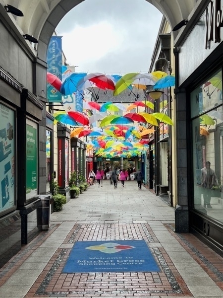
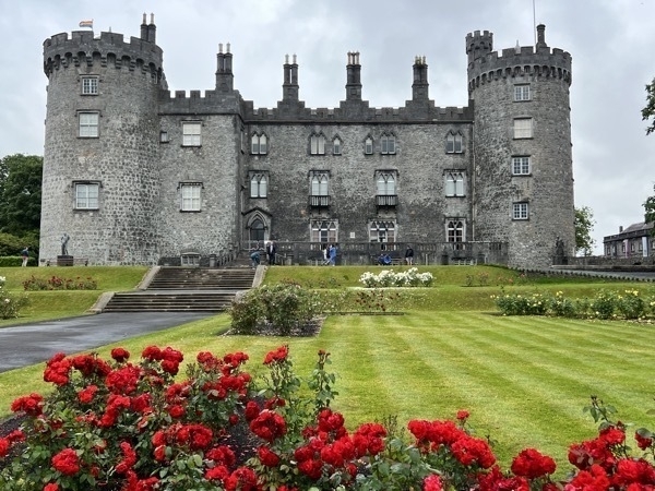
Kilkenny Castle was built in 1195 by Norman occupiers
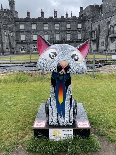
This cat sculpture at the castle was part of Kilkenny Cat Walk
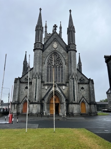
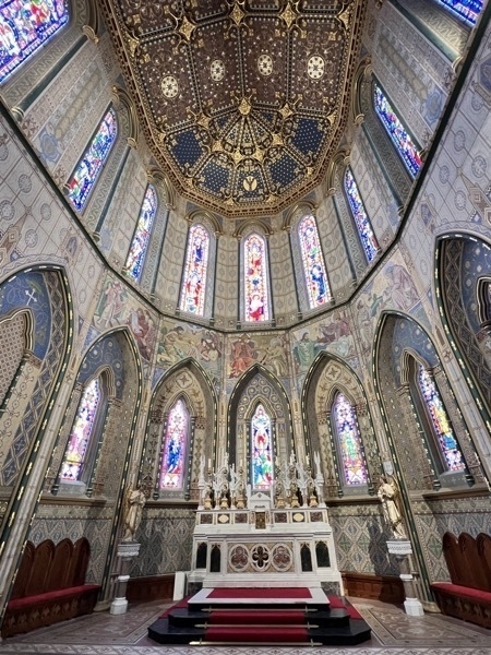
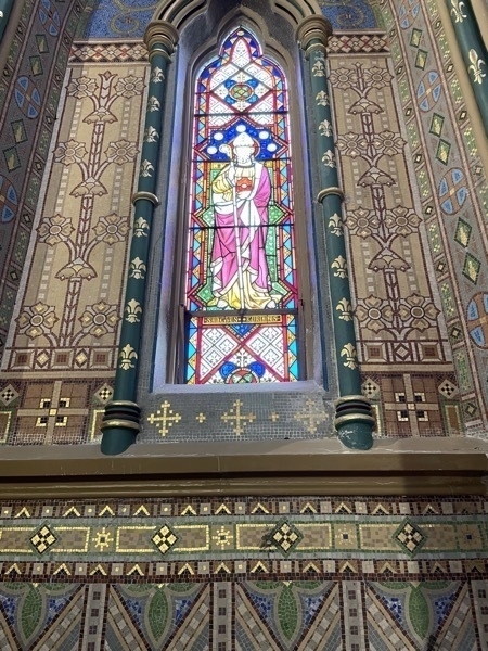
St. Mary’s Cathedral -Work began in April 1843 and finished in 1857
-
Ireland 10-Blarney Castle and Charles Fort near Cork
BLARNEY CASTLE
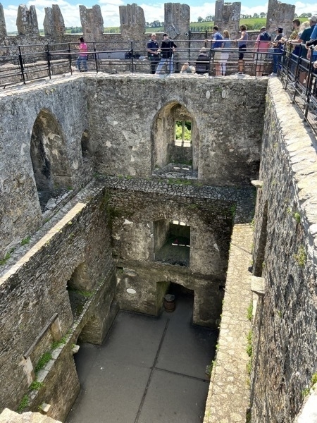
The castle was built in 1446 on this site by Dermot McCarthy, King of Munster. The castle is now a partial ruin with some accessible rooms and battlements. At the top of the castle lies the Stone of Eloquence, better known as the Blarney Stone. Visitors used to be held upside down by the feet over a sheer drop to kiss the stone, which is said to give the gift of eloquence, but now there are rails to hold to slide backwards and arch downward.
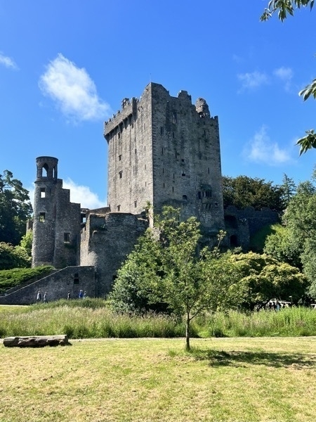
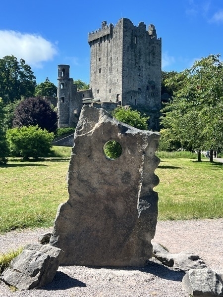
We waited in line over 1 ½ hours and climbed 110 steep, narrow steeps to get to the top of the castle and kiss the Blarney Stone.
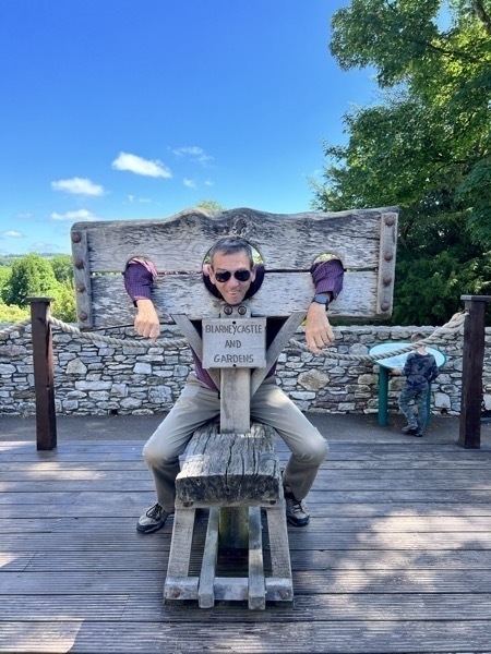
A photo opportunity while standing in line to get into the castle.
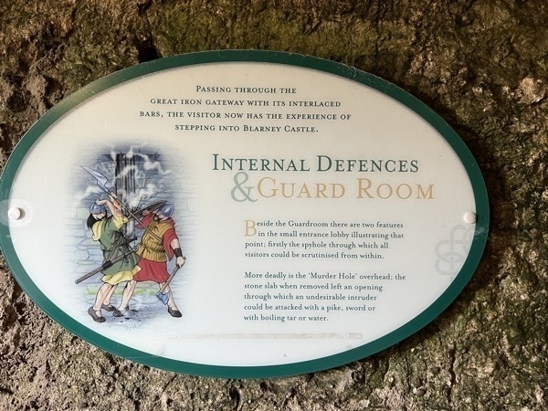
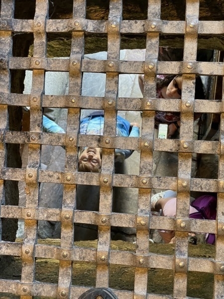
Can you imagine having boiling water or tar dumped on you from above as you breech the castle?? Apparently that was a very common mode of castle protection as several of the castles we’ve been to were designed for this.
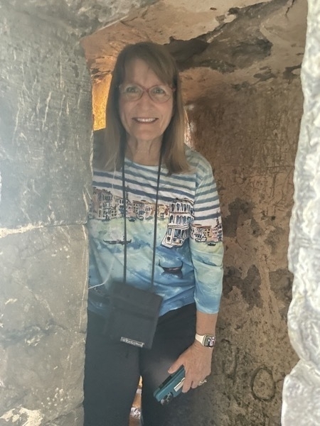
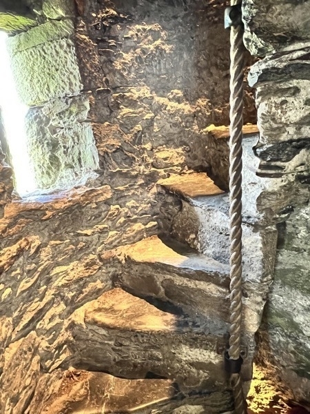
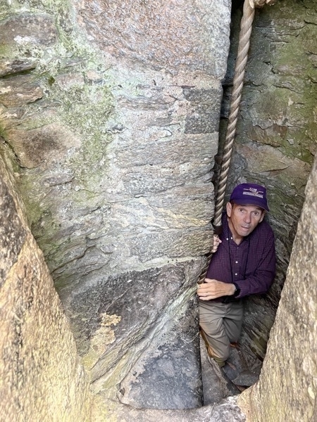
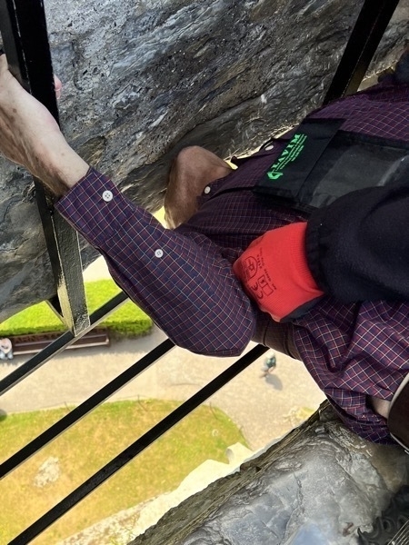
Tom kissing the Blarney Stone
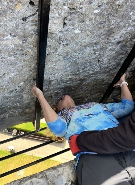
Mary kissing the Blarney Stone
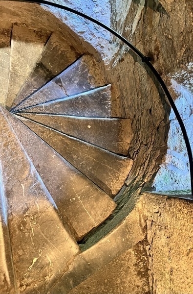
A different set of 110 steps going back down.
CHARLES FORT
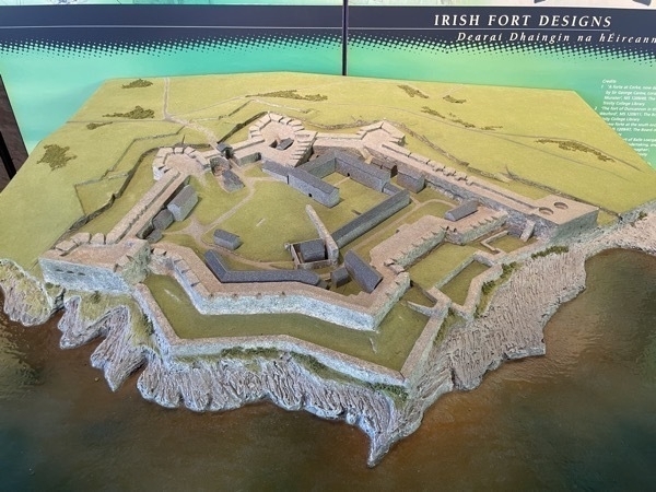
The fort was built between 1677 and 1682 to a design which included elements of star fortifications, a layout specifically designed to resist attack by cannon. It was built in the Kinsal Harbor and is located at the end of the Summer Cove village. Only one battle was ever fought her and the troops surrendered peacefully in that battle. It was used as British Army barracks and training area for over two hundred years until it was relinquished by British forces following the Anglo-Irish Treaty of 1921. The fort fell out of use after being burned by retreating ant-treaty forces during the Irish Civil War in 1922.
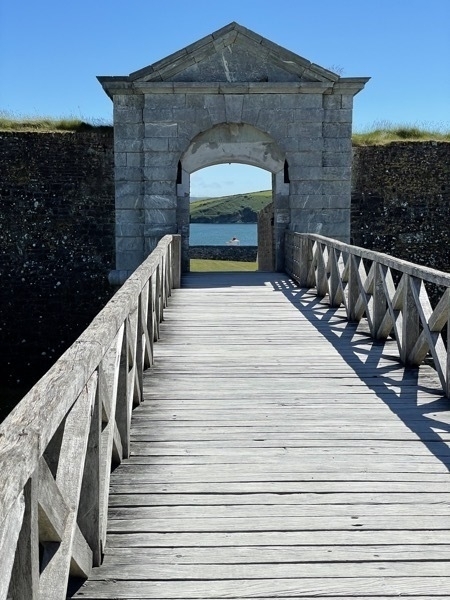
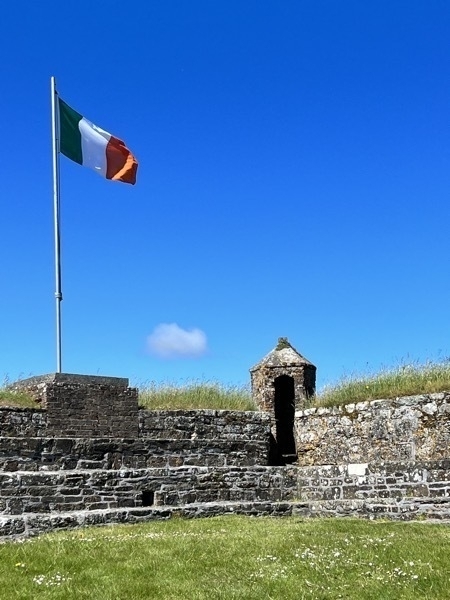
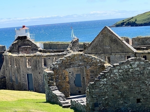
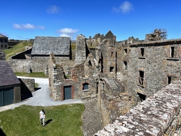
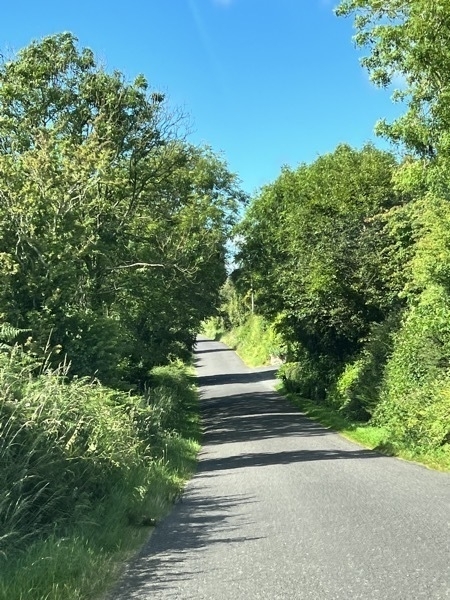
Driving the narrow roads of Ireland—no shoulders and not quite two lanes wide!
Maranatha B&B
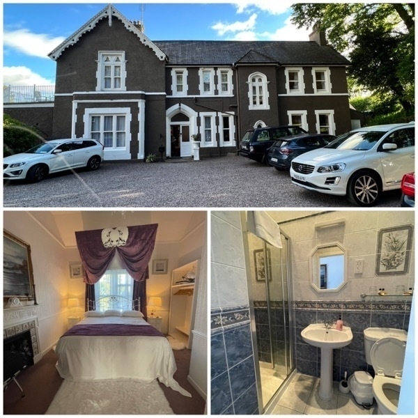
Maranatha Country House, Kilnamucky (outside of Cork)
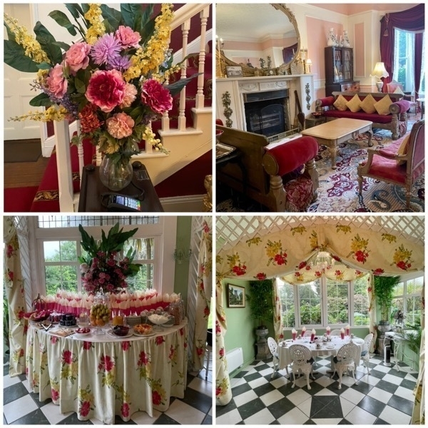
Our beautiful breakfast setting
-
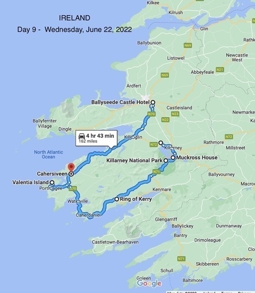
Ireland Day 9 - Killarney National Park, Ring of Kerry and Ballyseede Castle
We started the morning by driving to Killarney National Park where the beautiful Muckross House is located. The house was built in 1843 and has sixty-five rooms. Extensive improvements were made in the 1850s in preparation for a visit by Queen Victoria in 1861. We were told that these improvements for the Queen’s visit contributed to the financial difficulties suffered by the Herberts, the owners, resulted in the sale of the home.
In 1899 it was bought by Arthur Guinness, 1st Baron Ardilaun who wanted to preserve the dramatic landscape. He did not live in the house himself, but rented it out to wealthy groups as a hunting lodge.
In 1911 the home was again sold to William Bowers Bourn, a wealthy Californian mining magnate. He and his wife passed it to their daughter Maud and her husband Arthur Rose Vincent as a wedding present. The couple lived there until Maud's death from pneumonia in 1929.
In 1932 her parents Mr and Mrs Bourn and their son-in-law Arthur Vincent decided to present Muckross House and its 11,000 acre estate to the Irish nation.It became the first national park in the Republic of Ireland and is now the present day Killarney National Park
.
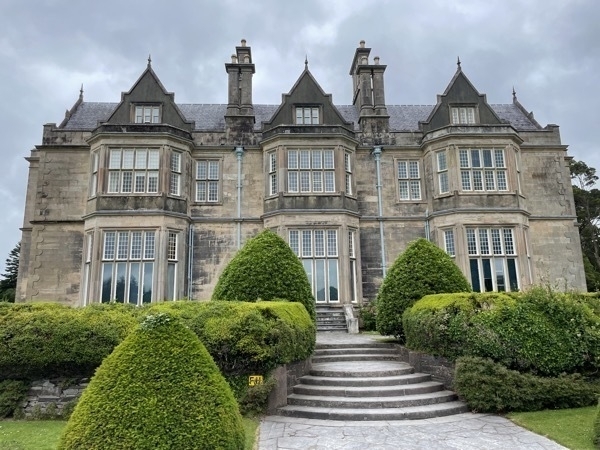
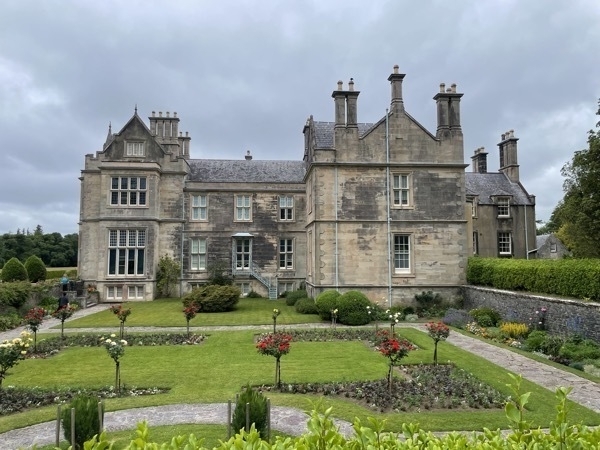
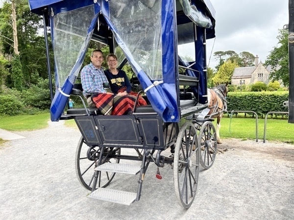
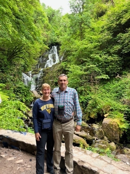
We took a horse and buggy ride to the TORC waterfall within the park.
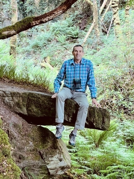
Ring of Kerry
We spent the rest of the day driving the Ring of Kerry. This is one of the “must see” areas of Ireland because of the diverse beauty of the countryside. "The Ring" is a popular day trip and numerous bus companies offer circuits during the summer months. As the narrow roads make it difficult for tour coaches to pass one another, all tour buses run in an anti-clockwise direction, so we drove in a clockwise direction. We passed at least 25 tour buses on the road and numbers other bus stopped along the way.
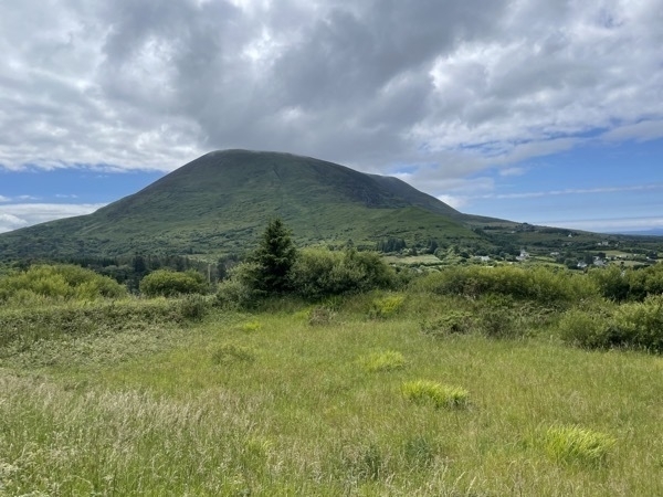
The Ring of Kerry is a scenic drive around the Iveragh Peninsula in southwest Ireland’s County Kerry. Its a 111 mile long, circular route takes in rugged mountain and coastal landscapes and rural seaside villages.
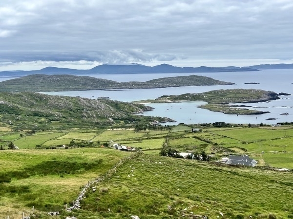
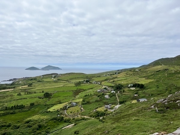
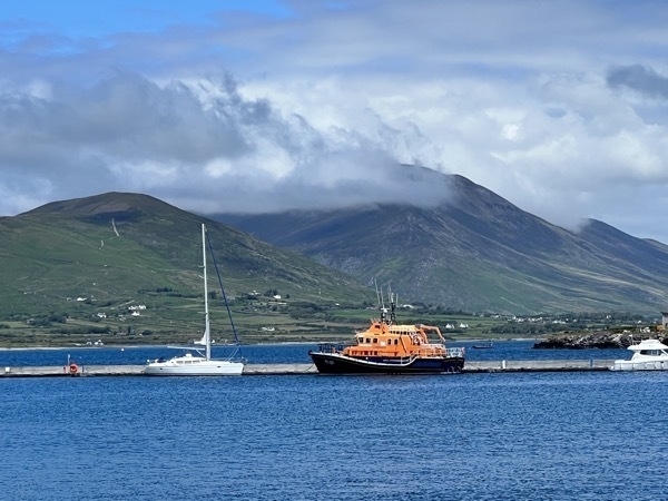
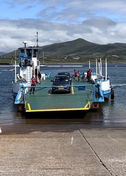
Valentia Island and Ferry
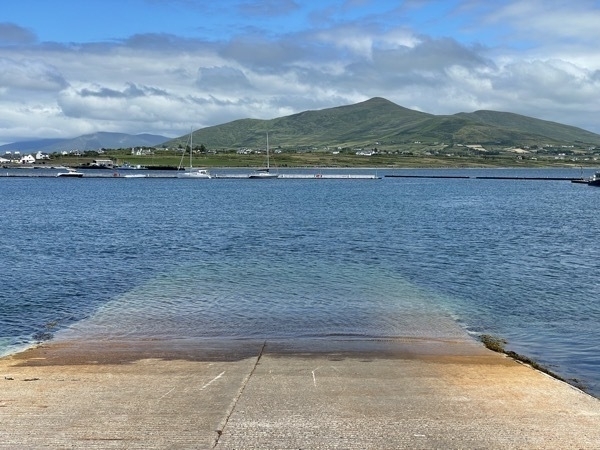
Valentia Island is one of Ireland's most westerly points. It lies off the Iveragh Peninsula in the southwest of County Kerry. It is linked. It is linked to the mainland by the Maurice O'Neill Memorial Bridge at Portmagee.
We drove onto Valentia Island, but took the ferry off the other side of the island.
Ballyseede Castle
This was the night I’ve been waiting for since we planned our trip! We are spending tonight in a castle! The Blennerhassett family had lived on the Ballyseede Castle Estate of 30 acres since 1590. The main castle was built in 1721 and was extended in the later years of the 1700s.The castle remainied within the family ownership up to the death of Hilda Blennerhassett in 1965. The castle has been updated and now includes 45 rooms for guest. It’s the site for many beautiful weddings and receptions. Both on the grounds and in the main halls inside. In fact, a wedding was going to be held at the castle the day we were leaving.
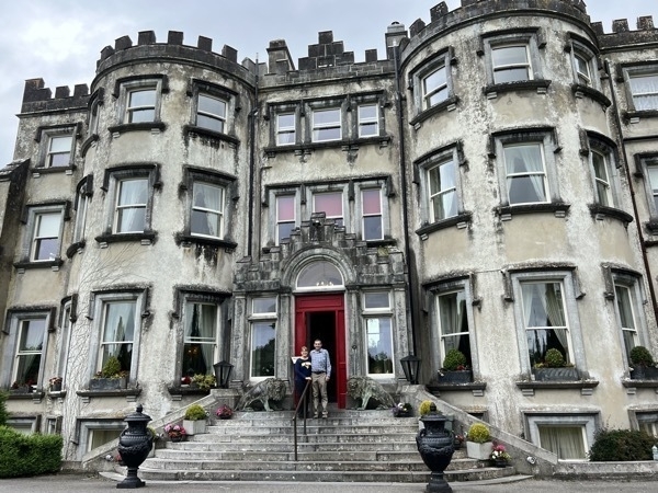
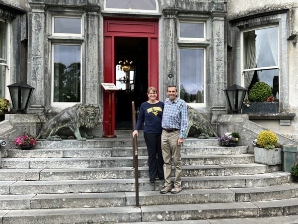
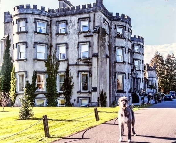
This is the family dog Marley, a Irish wolf hound who is 6 years old.. When we arrived, Marley was sleeping on the top step of the entrance and looked like he wasn’t feeling well. We weren’t even sure he was alive as he didn’t stir as we passed. Later, he was out walking around the grounds again.
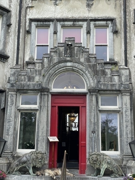
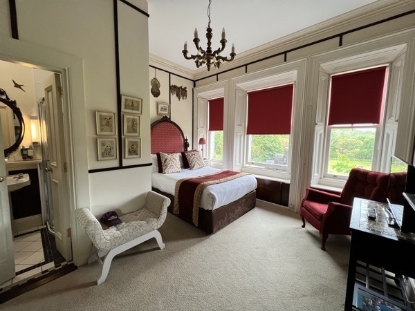
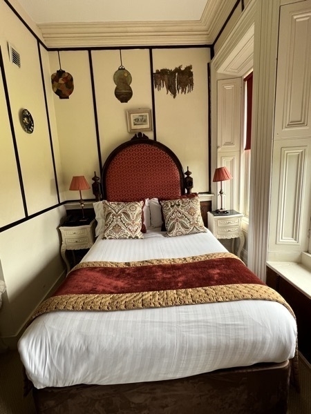
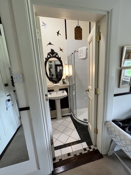
The was our bedroom
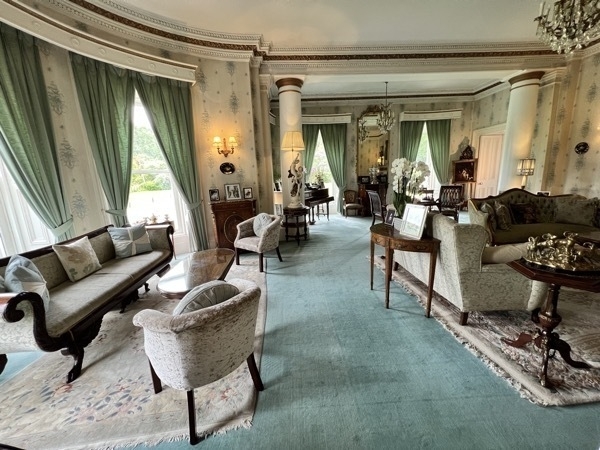
Reception room
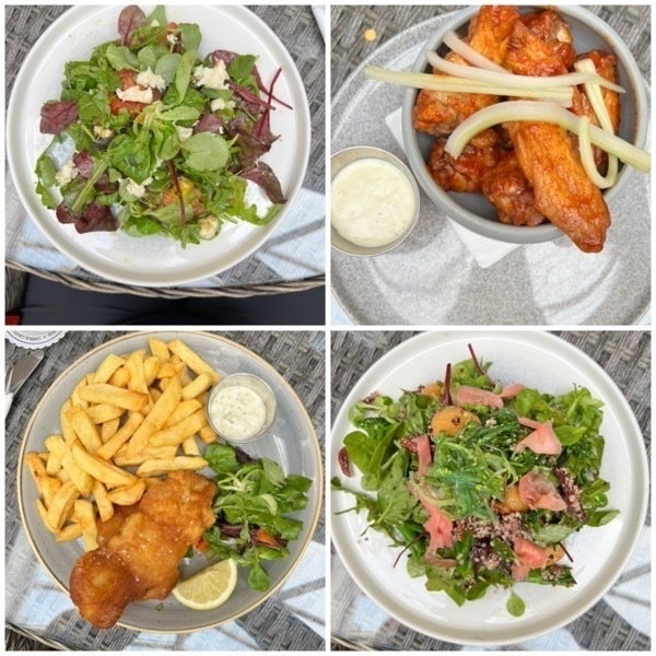
Our dinner at the Castle. Fish & Chips, Tomato and Mozzarella salad, Chicken wings, Power Salad (broccoli, pecans, bacon, avocado, and quinoa ). Delicious!
-
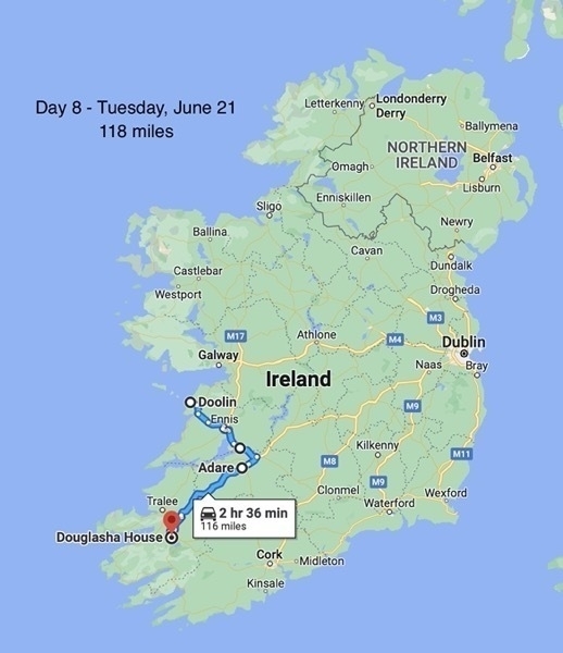
Day Bunratty Castle & Adare-Ireland Day 8
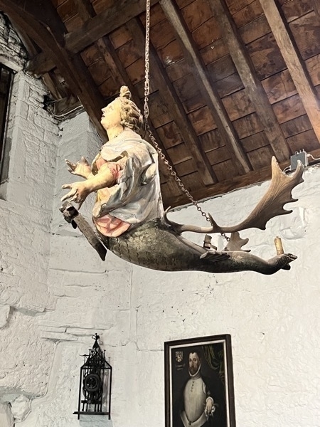
We left our precious Bed & Breakfast in Doolin (Knockaguilla) and drove to the Bunratty Castle and Folk Park. The castle was built around 1425. The main block has three floors, each consisting of a single great room, or hall. The four towers have six stories each. We entered the castle by a drawbridge (along with about 50 elementary age school children).
Bunratty Castle and Folk Park
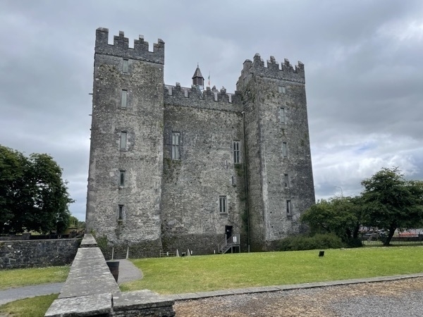
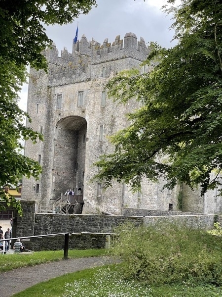
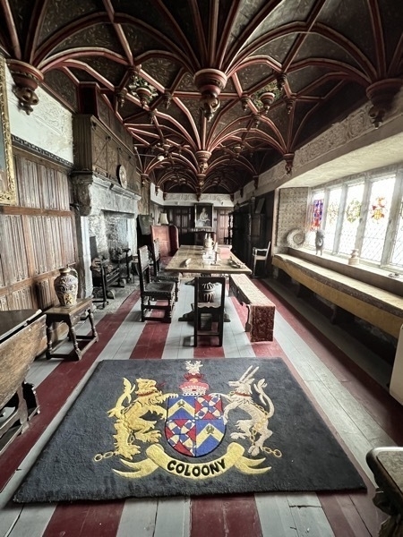
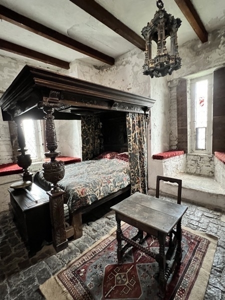
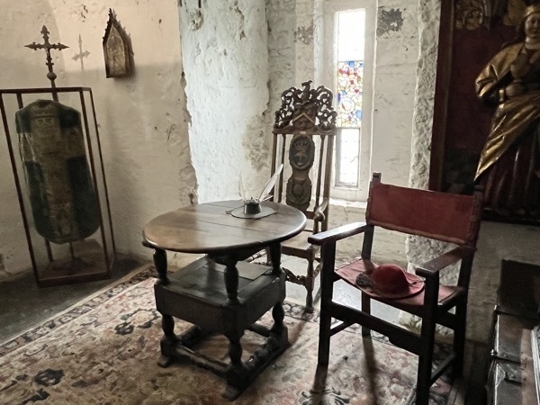
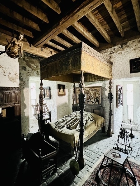
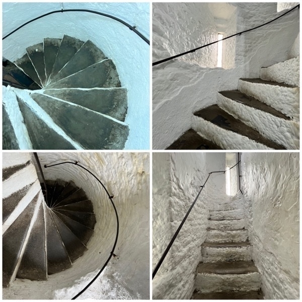
Stairs, stairs, and more stairs. Since there are six floors in each tower, we went up and down a lot of stairs.
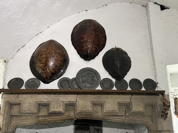
The turtle shells above the fireplace were used for serving food and also for covering the food.
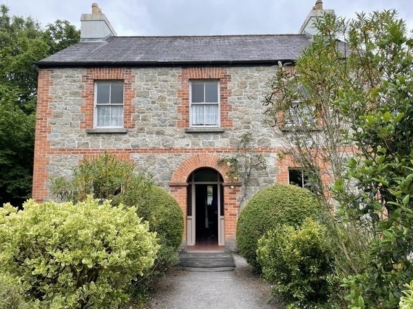
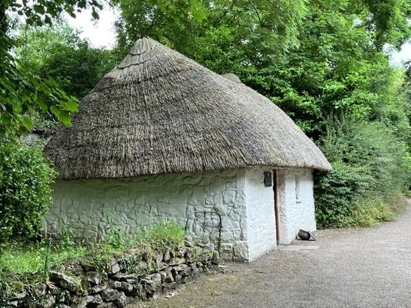
This is a typical example of the type of dwelling inhabited by the laborers of the strong farmers in the 18th and 19th centuries. The farmer would let a small piece of ground, about half an acre, to the laborer, who would pay off the rent in labor, about eighty days in the year. For the rest of the time the laborer could work for himself or for wages.
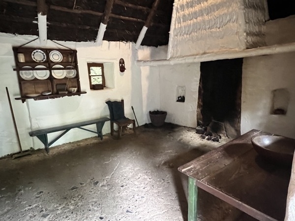
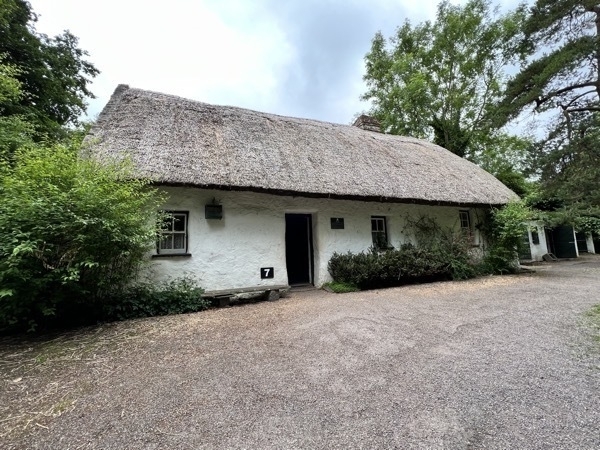
This homestead was once the home to the McNamara family and stood where a runway of Shannon Airport now stretches. It was the first building to be re-erected in the Folk Park. A typical small farm of this kind on the banks of the Shannon, would have about twenty acres of good land and another twenty of water meadow, and would supportabout twelve cows, with some dry stock and smaller animals.
With the kitchen in the middle, a bedroom at each end, extra sleeping accommodation in a loft over the lower roomand another loft over the upper room for storage, this house is typical of the smaller farmhouses of Southeast Clare.In this house, the upper bedroom was converted into a parlour where honored guests were entertained - a 19thcentury imitation of the bigger houses.
The traditional thatch roof was the glory of the lrish homestead. It was an ideal roofing material, cool in the summerand warm in the winter. Thatching could be rushes, straw or reeds. Walls are lime stone within and without andwhitewashed with a solution of lime and water.
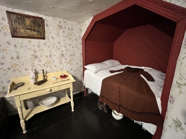
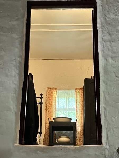
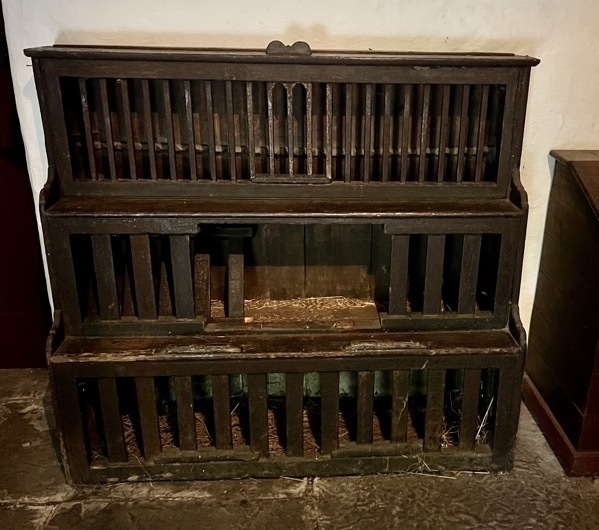
The chicken were kept in the main room.
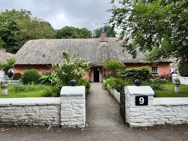
This is a replica of a prosperous farmer who would farm about 100 acres. A farmer who own a farm of this size would keep about20 cows and calves, six or eight pigs, two horses and a donkey, a large fowl yard of hens, ducks, turkeys and many pigeons.They would till ten or twelve acres, with wheat, oats, potatoes, mangles, turnips and sugar beet as well as several acres of meadow for hay. This family would have two or three servant girls and a servant boy and employ two labourers permanently and others in spring and at harvest.
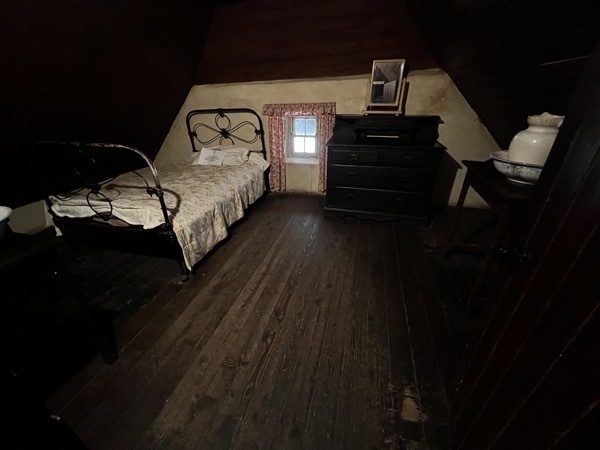
This large room in the loft was used by the servant girl while the servant boy slept in the loft over the stable.
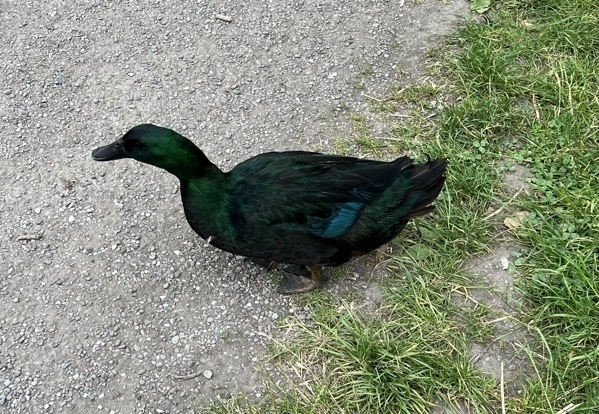
How is this for an Irish duck?? I’ve never seen a duck this color before.
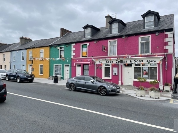
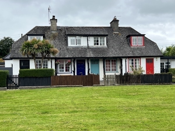
The town of Adare
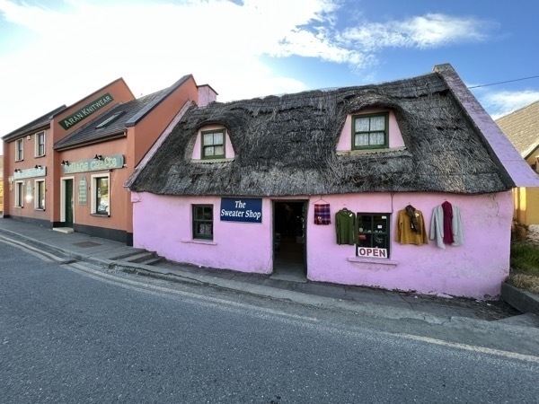
With its picture postcard main street of thatched cottages and medieval buildings, Adare village is rich in ancient and archaeological remains with a history dating back to 1200 AD.
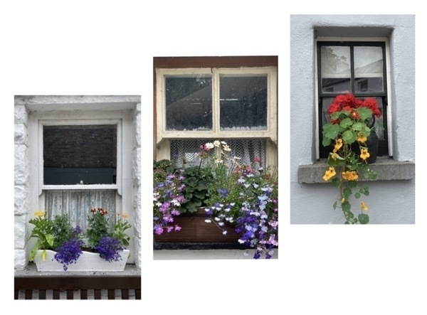
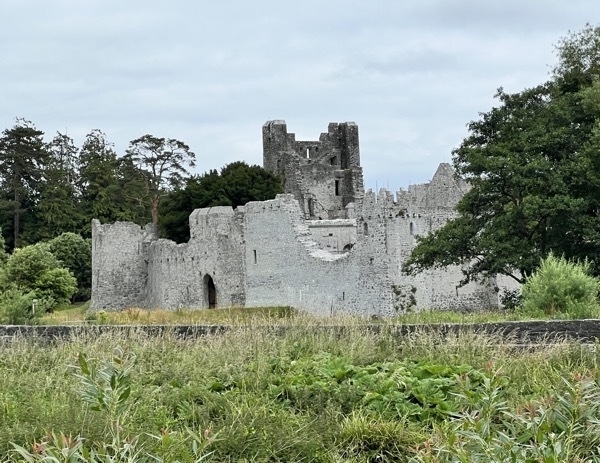
The Desmond Castle ruins
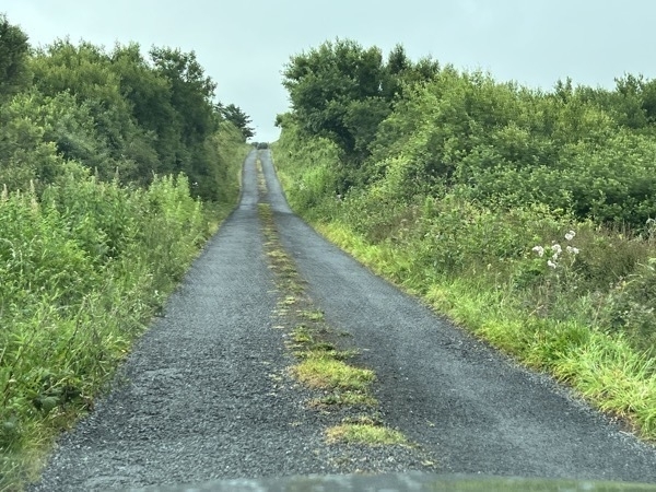
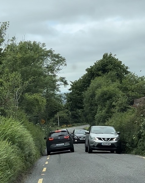
Some of the roads we traveled are quite narrow. This is not really a two lane road, so when cars need to pass, each pulls over as close to the brush as possible.

Dinner was at the Golden Nugget Pub near Fossa, Killarney, Co. Kerry,
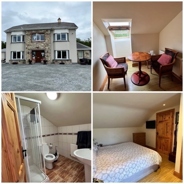
Our Bed&Breakfast for tonight was Diugkasha House near Killarney. We are on the third story which of course has no elevator . We finally got smart and moved what we were going to wear and put if in the carryon, so Tom wouldn’t have to lug our big suitcases up all 32 stairs.
-
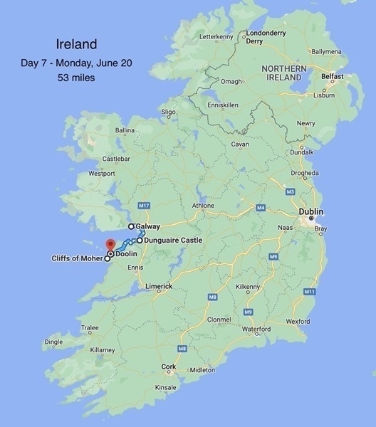
Day 7-Dunguaire Castle, Cliffs of Moher and Doolin
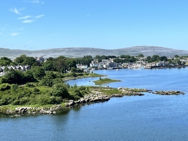
Dunguaire Castle
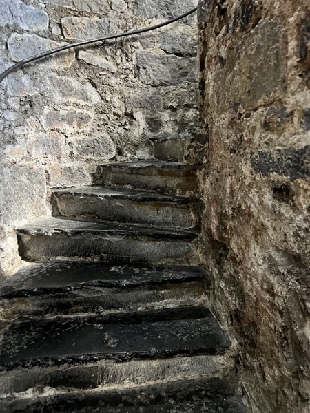
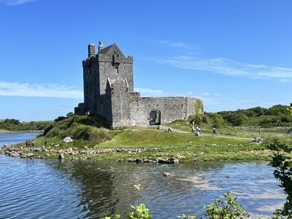 This Tower House was built in 1520. The ground floor area of the castle was used to store produce-. The 9’2” thick walls kept a constant temperature. Barrels held water, wine or salted meat and fish. The vaulted ceiling was customary in Irish Tower Houses. Wickerwork basketry mats and timbers were used as supports during construction while the mortar was wet, to shape the archway. These were removed when the mortar dried, however some marks from the wickerwork can be seen today.
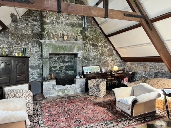
The castle was a ruin when purchased in 1954 by Lady Christobel Amptill. She restored the castle and added a kitchen and a bedroom. She lived there until 1972.
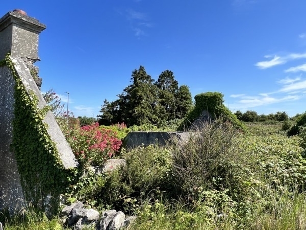
The ruins of a house near the castle
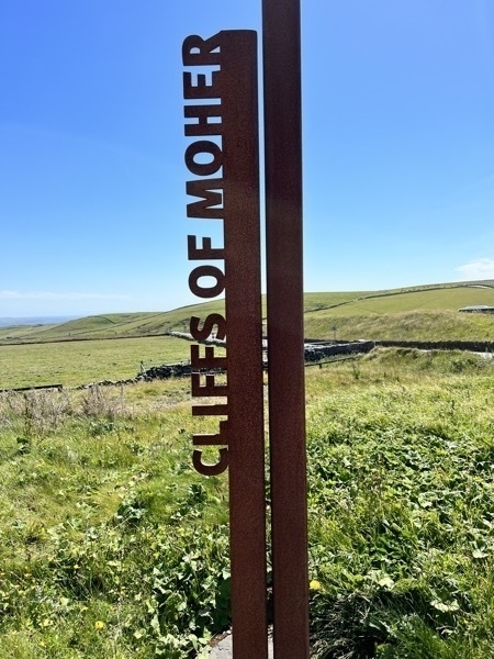
The Cliffs of Moher
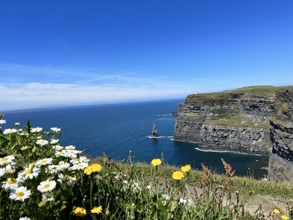
The Cliffs of Moher stand more than 650’ high above the Atlantic Ocean.1,865 miles to the west lies the Island of Newfoundland and North America.
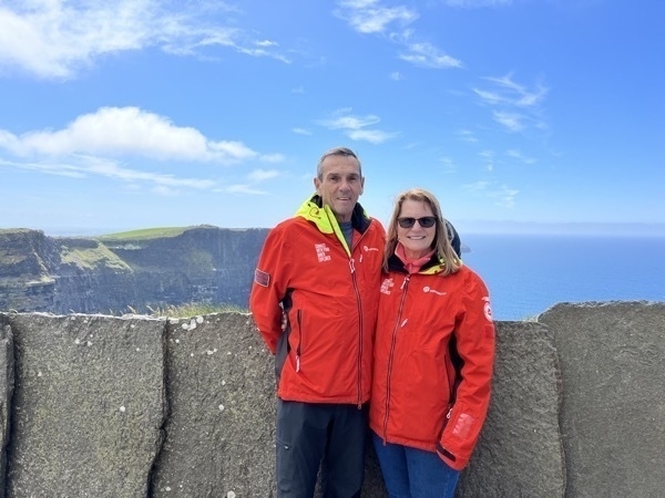
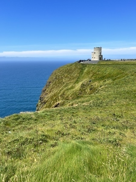
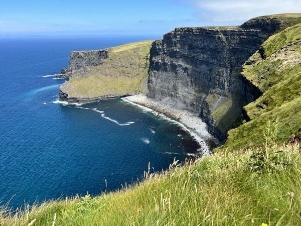
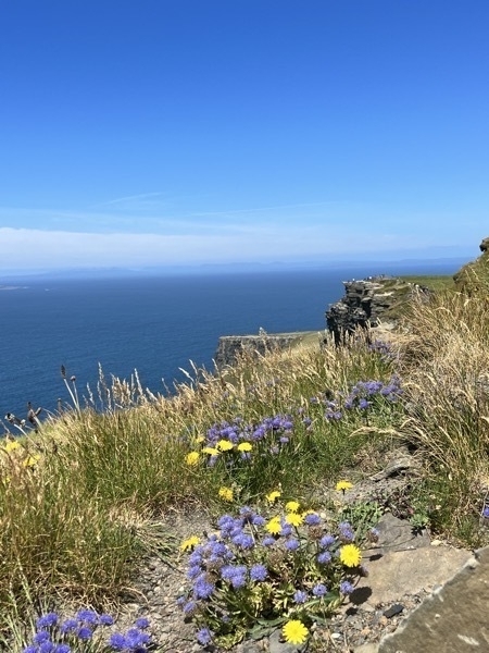
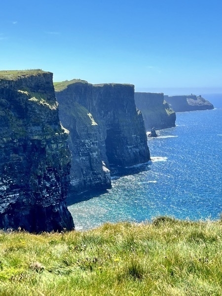
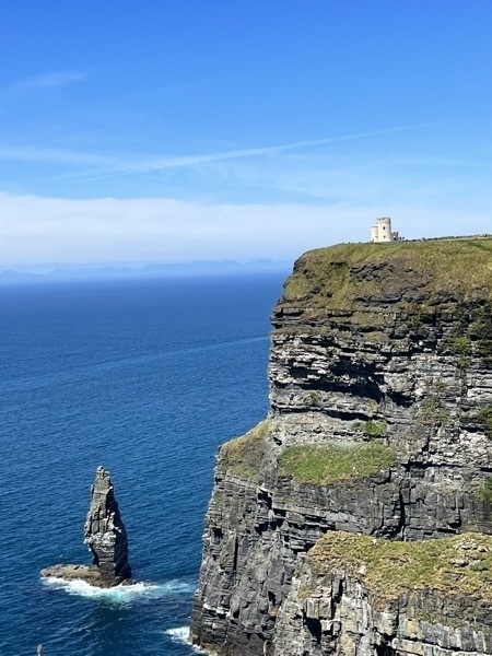
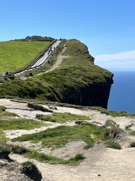
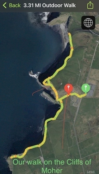
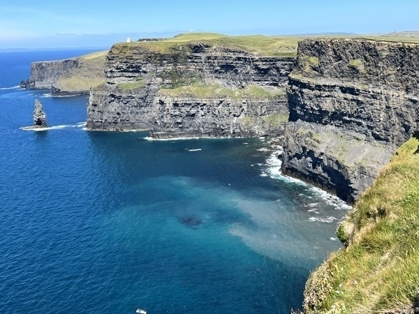
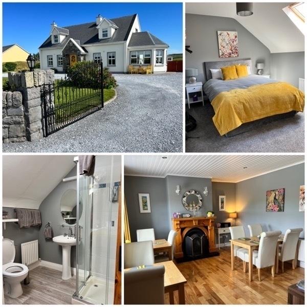
We stayed at Knockaguilla B&B near Doolin.
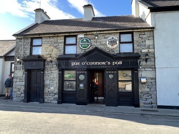
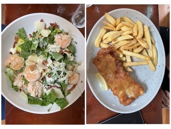
We ate dinner at O’Connor’s Pub in Doolin. Can you guess who ate what for dinner tonight???
-
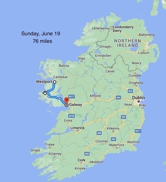
Ireland-Day 6 - Westport to Galway
Kylemore Abbey
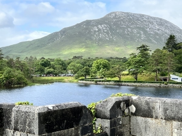
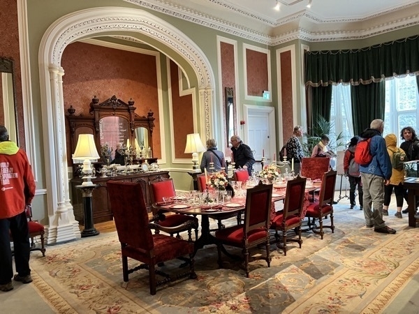
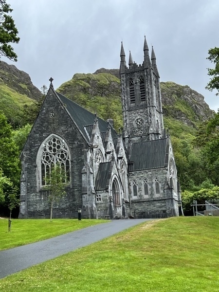
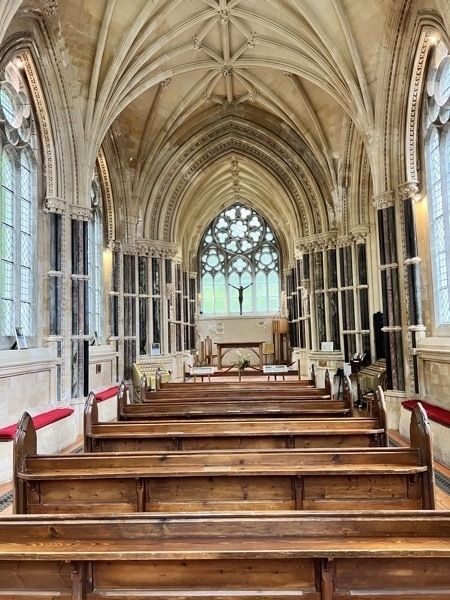
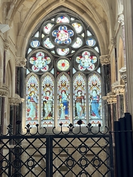
Kylemore Abbey was our first stop this morning. Kylemore Castle was built in 1868 as a private home for the family of Mitchell Henry, a wealthy doctor from London whose family was involved in textile manufacturing in Manchester, England. The construction of the castle began in 1867, and took the total of one hundred men and four years to complete. The castle covered approximately 40,000 square feet and had over seventy rooms with a principal wall that was two to three feet thick. There were 33 bedrooms, 4 bathrooms, 4 sitting rooms, a ballroom, billiard room, library, study, school room, smoking room, gun room and various offices and domestic staff residences for the butler, cook, housekeeper and other servants.
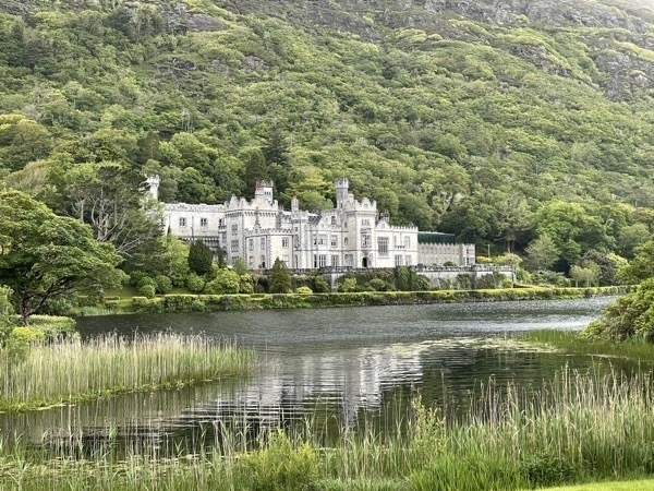
The castle was sold to the Duke and Duchess of Manchester in 1903, who resided there for several years before being forced to sell the house and grounds because of gambling debts. In 1920, the Irish Benedictine Nuns purchased the Abbey castle and lands after they were forced to flee Ypres, Brussels during World War I.
The nuns provided education to Catholic girls, opening an international boarding school and establishing a day school for girls from the locality for almost 100 years before they closed the school in 2010.
Since 2015, the Abbey has a partnership with the University of Notre Dame of the US. The abbey hosts academic programmes for Notre Dame students, and the university renovated spaces in the abbey.
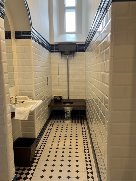
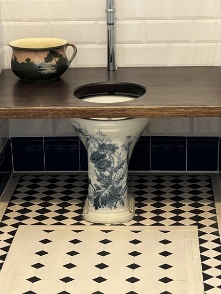
This is the fanciest base on a toilet that I’ve ever seen!
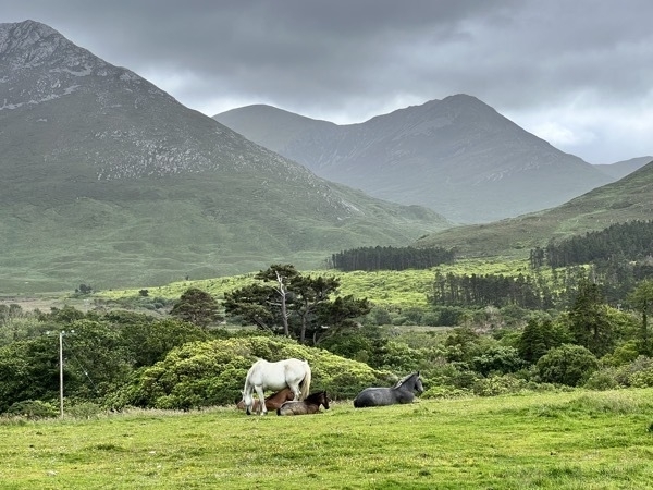
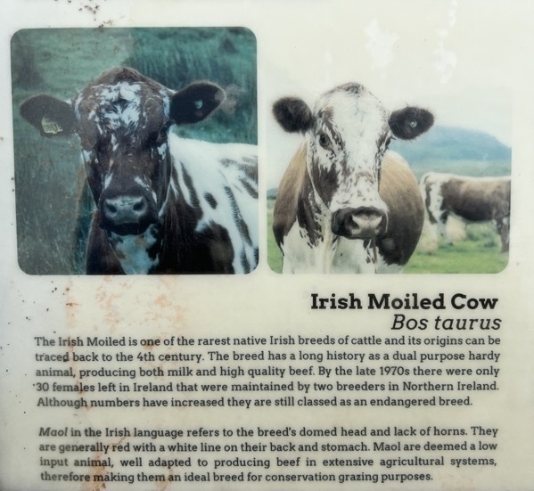
These are Connemara Ponies, Ireland’s native pony breed, originated here in Connemara,. In the 16th Century the Spanish Armada sank off the Galway coast.There were a number of Andulusian horses aboard the ship who swam ashore and mated with the wild mountain ponies.It is believed the Connemara pony originated from these matings.
In the past, the Connemara pony played a large role in rural Connemara life. Traditionally a working pony on the farm.their many uses included bringing turf from the bog, drawing seaweed from the shore, and transporting the family to Masson a Sunday. These tasks were often carried out while rearing a foal. The foal provided a family with an additional source ofincome when sold.
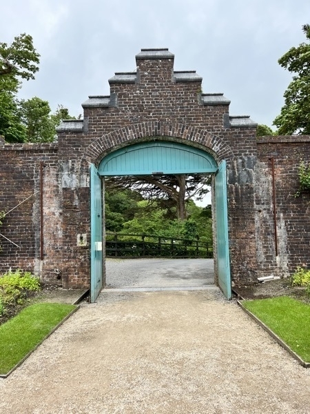
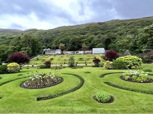
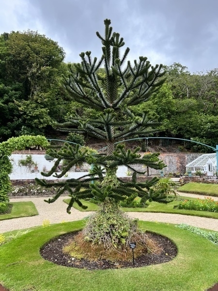
There is a beautiful walled garden behind the Abbey.
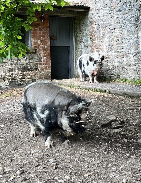
This is Gloria, a kunekune pig, and her friend Ken. We were there for their noon feeding of some sort of grain. That’s what Ken has all over him. Look closely at those ugly tusks growing from his mouth.
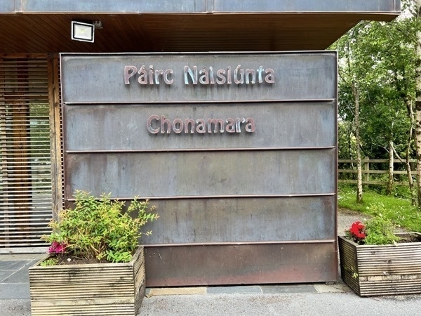
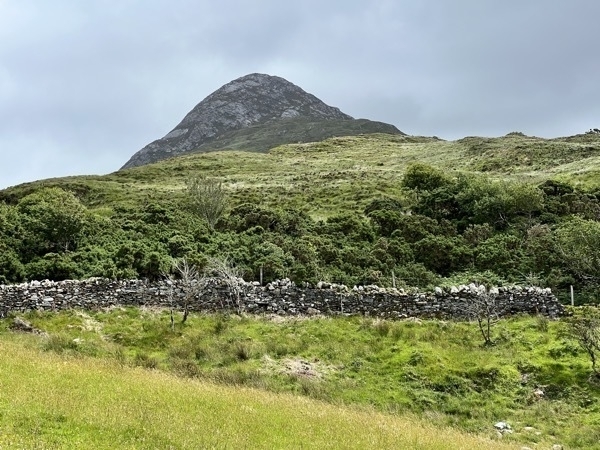
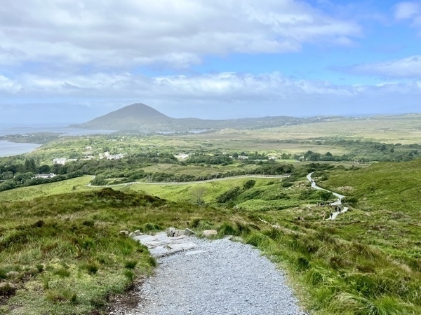
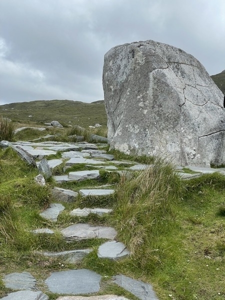
Connemara National Park
The park is one of six National Parks in Ireland. There is no charge to enter the park. There are three main trails for hiking and the best is to the top of Diamond Hill. Although these National Parks are beautiful, they are quite small when compared to ours in the US.
We spent the night at the B&B Kilgree House in Galway.
W

-
Ireland Day 5 - Mullaghmore Head to Westport
Mullagmore Head
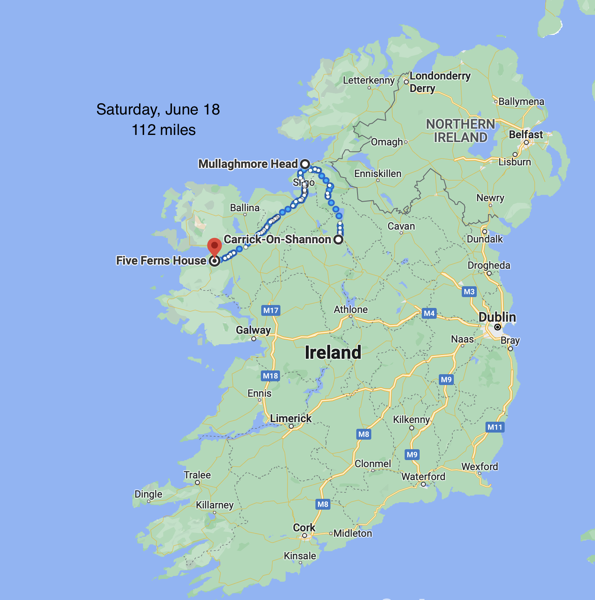
This morning we left Carrick and drove to Mullagmore Head. The wind was very strong as we stood on the edge of the sea and watch the waves crash on the rocks.
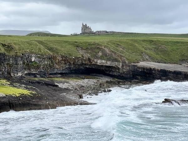
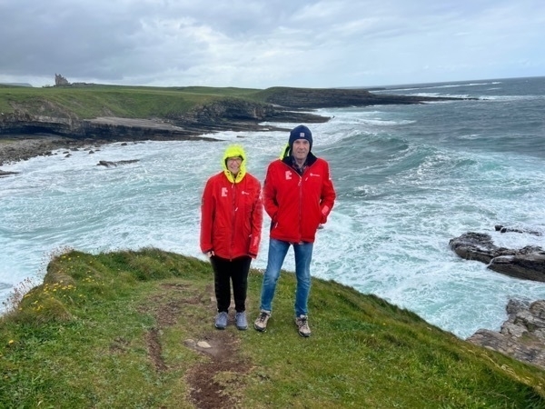
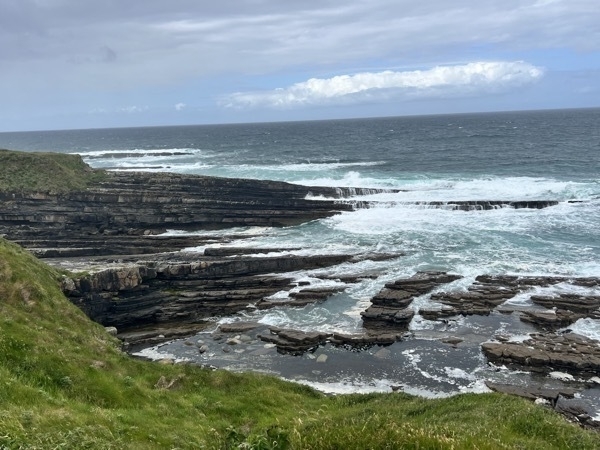
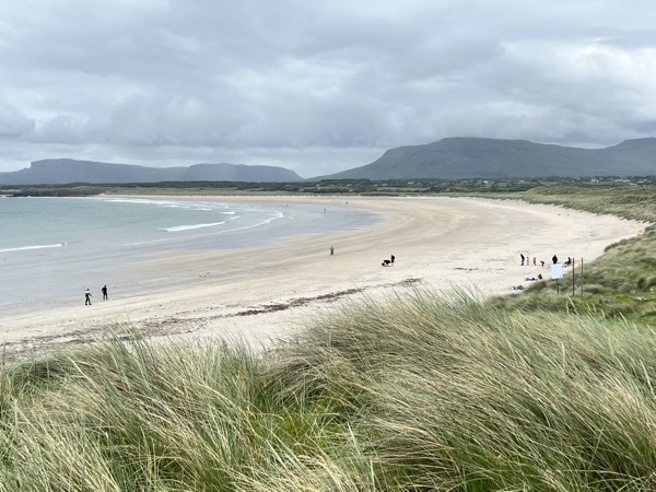
This was the beach we saw while driving through the village. Look at all that beautiful white sand! I can’t imagine going into that 57 degree Atlantic Ocean water tough.
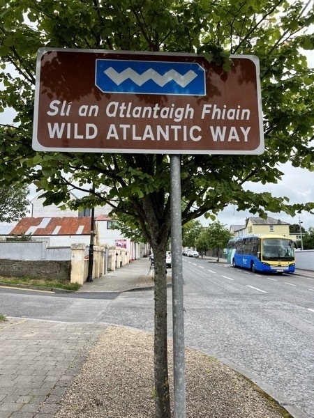
The name of the roadway we’ve been traveling for the past two days
Westport
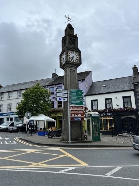
Our stop for the night was the town of Westport. We walked from our B&B into town for dinner which was 2.6 miles round trip.
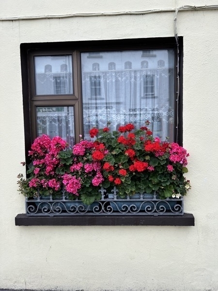
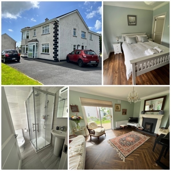
We stayed at the Five Ferns House in Westport. It was a delightful place to stay and had four guest rooms. A family of five lived in the house also, but we never saw the children. The husband and wife were probably in their mid 30’s. The breakfast was made to order. I had a delicious ham and cheese omelet with homemade bread which Tom had two eggs, bacon and bread.
-
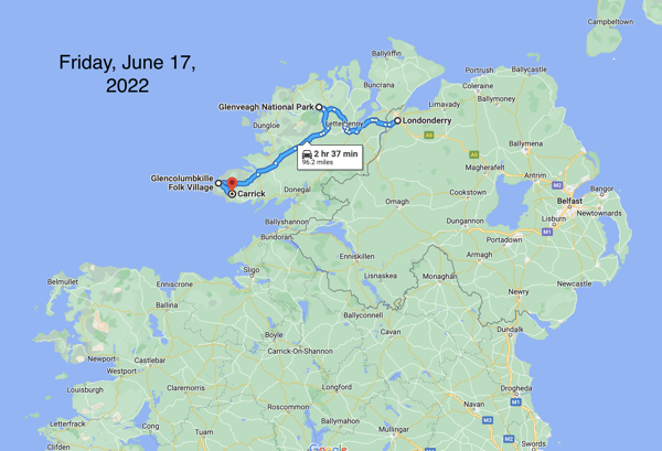
Glenveagh National Park, Glencolumbville Folk Village & Carrick-Day 4
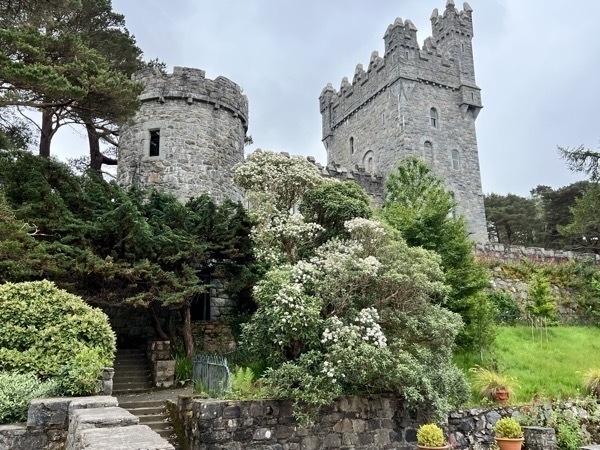
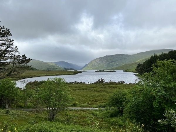
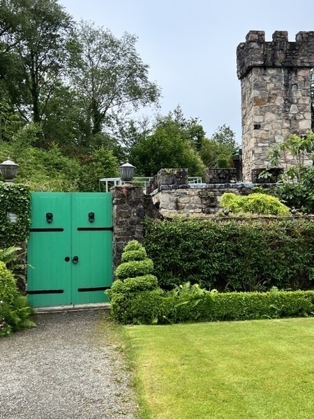
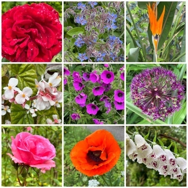
After leaving Londonderry this morning our first stop was Glenveagh National Park. The castle in the park was not open so we just walked around the grounds and enjoyed the gardens and beautiful flowers.
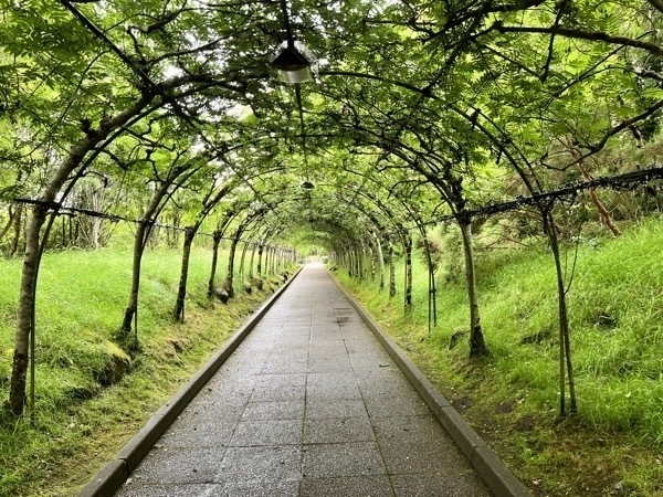
Entrance way into the visitor’s center.
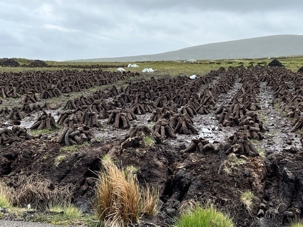
Stacks of peat which are burned for heating and cooking, dot the Irish countryside.
Glencolumbville Folk Village
This village is located on the Atlantic Way and is comprised of homes from the 1700s, 1800s, and 1900s in this part of Ireland.
.
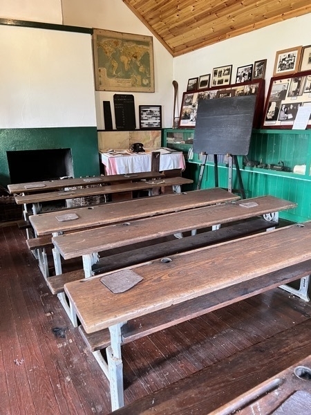
The school house represents a 19th century school. The fireplace was the only method of heating and cooking during this era. The children were expected to bring turf with them to keep the fire lit. This practice continued into the mid 1900’s. The pupils used the slates for writing their lessons and this method continued until the late 1960’s in Glencolmcille; the ink wells came after the slates. Public education was free until age 14. Public secondary education was not provided until 1967.
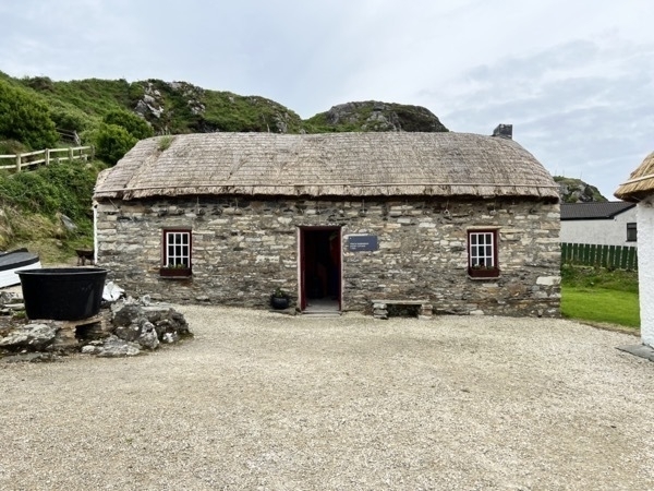
This is a typical tenant farmer’s cottage of the 1700s.. The floor was made from clay/mud and the walls were plastered with the same. Rushes were strewn across the floor as a covering, The roof was made in three layers; a layer of bog timber, which was preserved under the bogs; a layer of scraw, which is the top layer of the bog and then a layer of straw on the outside.
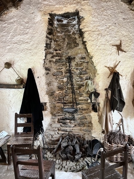
The fireplace is open from the ground to the roof which meant there was a lot of smoke in the house. The fire was their main source ot heat and was used for cooking and baking.
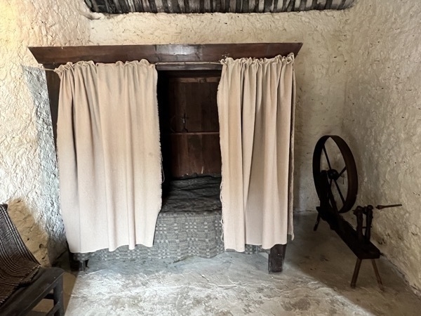
The bed had heavy wool panels for warmth.
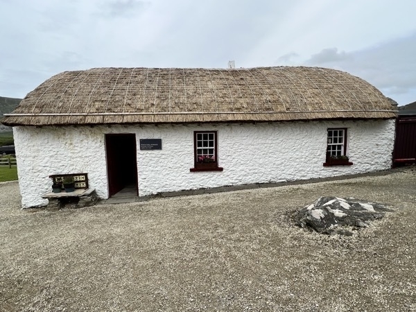
1850s -1900 cottage. The floor in this era was made from flagstones and the chimney is closed in.
Traditionally the flattest flagstone was laid in the center of the floor because this was where the dancing took place.There was much emigration during this period from Ireland as a result of the famine. Markets were beginning to develop and people were slightly better off; some people were receiving money from family who had emigrated to America. This is why they could afford to make some improvements such as the glass in the windows. Oil lamps were now in use producing better light than the rush candles used prior to this.
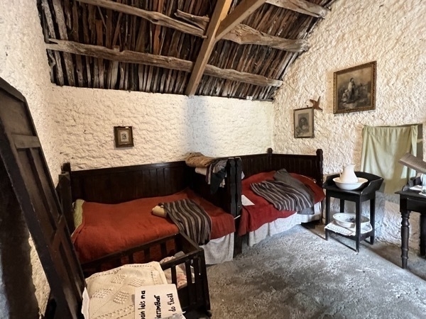
The beds are small compared to those of today, but people were slightly shorter then. They also slept upright as many had chronic lung disorders and generally their health was not as good as it would have been if they were alive today.
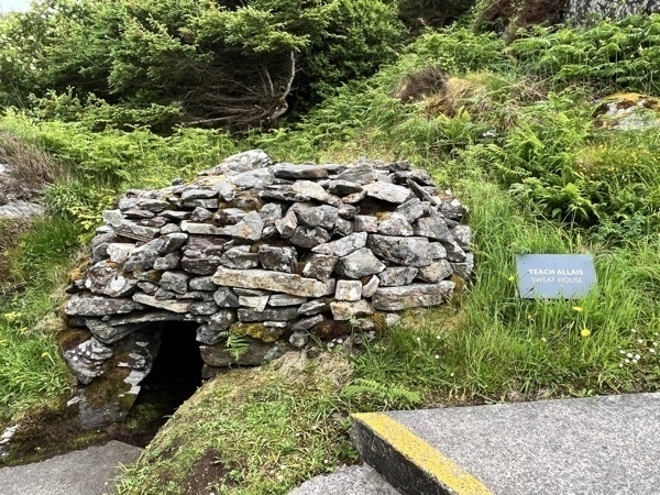
The Sweat House was a low small enclosure where a person was put when they were sick. A fire was built in the middle and the sick person would lay in here naked for five hours one or two days.
The Atlantic Ocean
This was the view across the road from the Glencolumbville Folk Village.
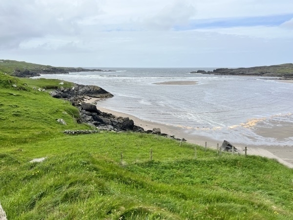
We continued driving to our B&B for the night in the town of Carrick in the county Donegal.
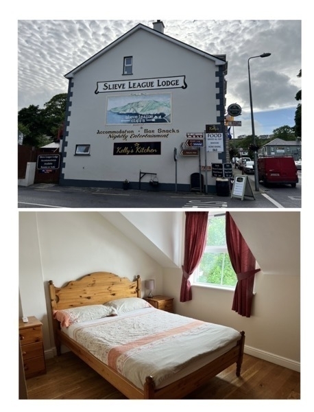
Slieve League Lodge. Our room was up two flights of stairs over a bar. It was a nice B&B with a sitting area and kitchen if we wanted to cook our own meal (we didn’t). Most restaurants are located in bars here.
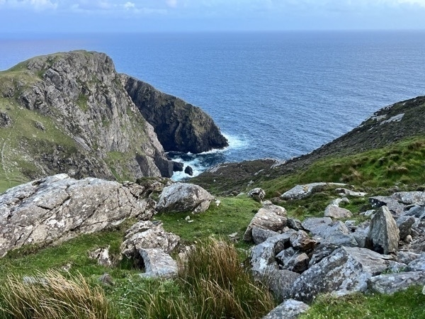
Slieve League Cliffs
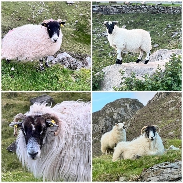
After dinner we drove out to the cliffs not realizing it would be a very grueling one mile hike up and just as hard of a walk coming back down. We got there around sunset and saw lots of sheep along the way.
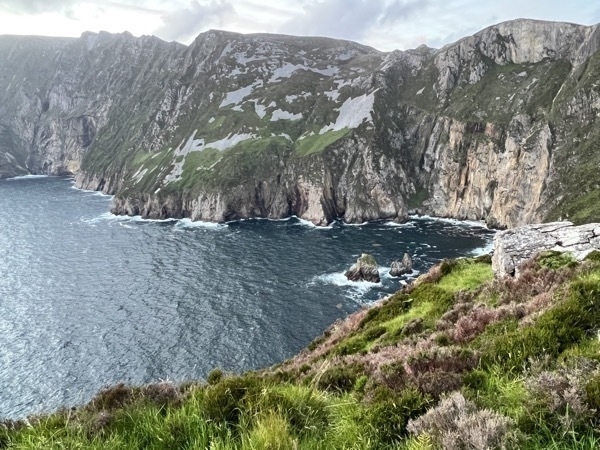
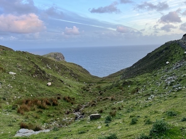
-
Carrick-a-Rede Rope Bridge and Giant's Causeway -Day 3
We left Belfast around 9:00AM and drove the M2 until we reached the Coastal Highway near Glenarm where we stopped to take a few pictures We drove through Glenariff and Ballycastle before reaching Carrick-a-Rede where we stopped to take a 2 mile hike to the Carrick-a-Rede Rope Bridge and back.
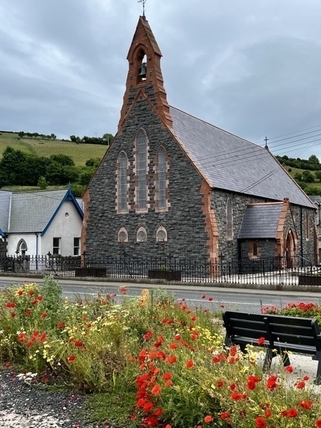
A roadside church in the town of Glenarm.
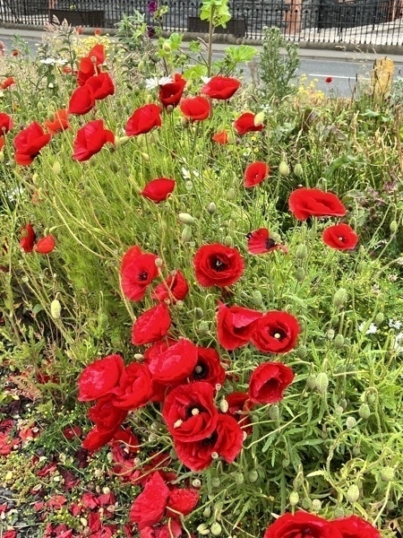
Poppies were growing wild along the roadway.
Carrick-a-Rede Bridge
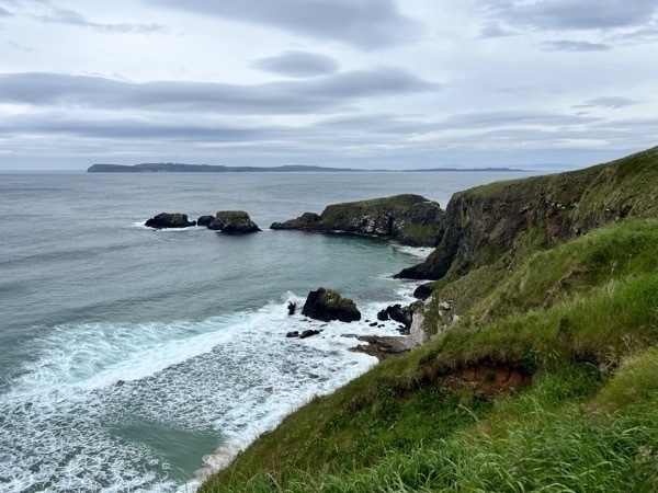
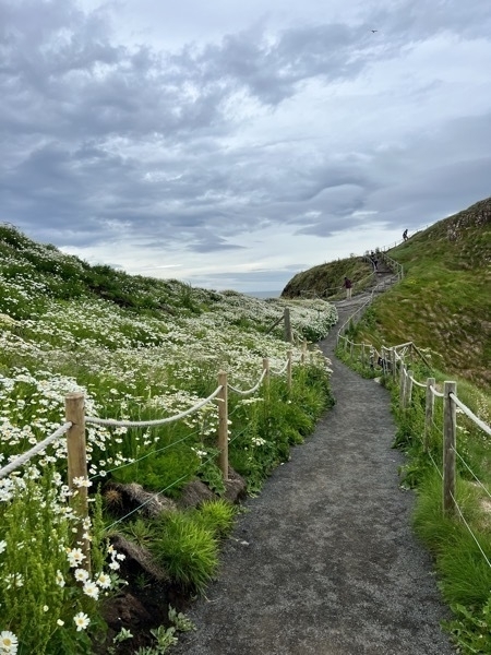
The beautiful hike to get to the bridge.
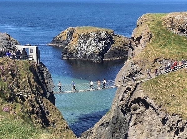
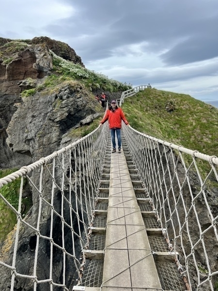
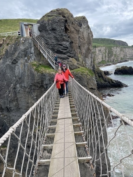
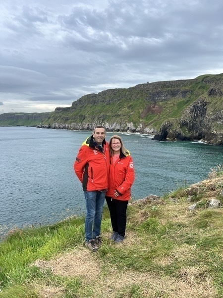
Swinging 100ft above the sea, made up of planks strung between wires, the rope bridge crosses a 6Oft chasm to the island of Carrick-a-Rede. The rope bridge was first erected by fisherman 250 years ago. so that they could check on their Atlantic salmon nets. The fishery was very important to this area.. It employed over a hundred men in Its heyday. Nets were originally set by boat, one end of the net was attached to the land and the rest was laid out in an arc to trap the approaching salmon.
When crossing the bridge, we were walking across the mouth of an ancient volcano, the Carrick-a-Rede volcano that erupted over 60 million years ago
Giant’s Causeway
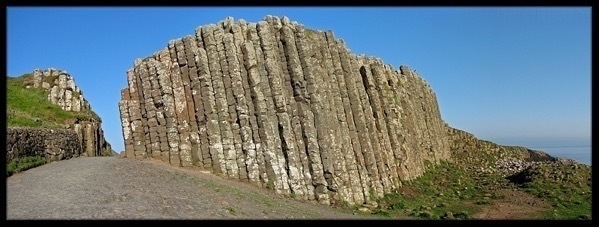
Our next stop was the Giant’s Causeway. The Giant's Causeway is an area of about 40,000 interlocking basalt columns, the result of an ancient volcanic eruption. It is located in County Antrim on the north coast of Northern Ireland, about three miles northeast of the town of Bushmills. It was declared a World Heritage Site by UNESCO in 1986, and a national nature reserve in 1987 by the Department of the Environment for Northern Ireland.
The tops of the columns form stepping stones that lead from the cliff foot and disappear under the sea. Most of the columns are hexagonal, although there are also some with four, five, seven or eight sides.[
Much of the Giant's Causeway and Causeway Coast World Heritage Site is owned and managed by the National Trust. It is one of the most popular tourist attractions in Northern Ireland,
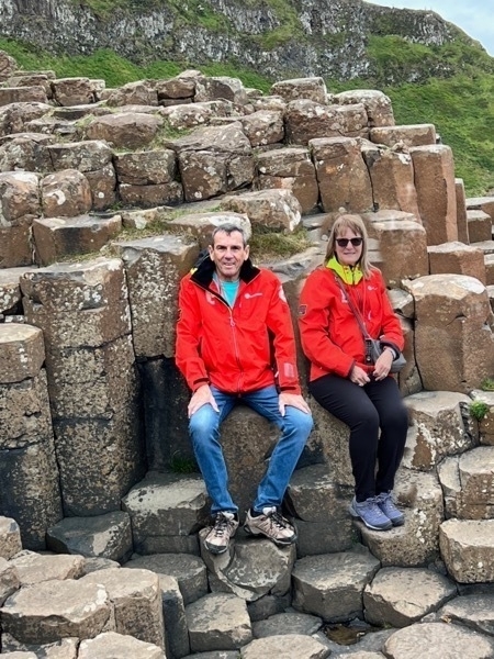
After parking at the visitor’s center we set out on a seven mile hike from the Visitor’s Center at the top of the cliff down to the sea where we walked on the hexagonal rocks and posed on the taller ones. We hiked the trail along the sea and then climbed up a much steeper trail that took us up 150 steps and back to the visitor’s center.
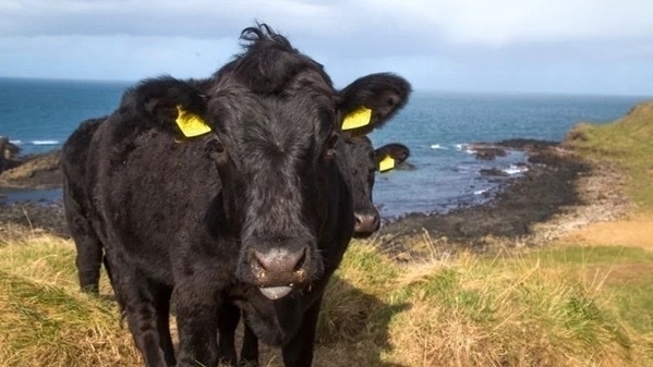
These two cows were the first things to great us. They were roaming around mingling with the visitors.
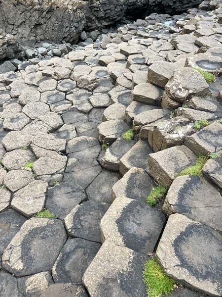
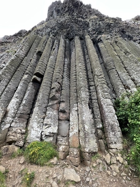
The Giant’s Organ Pipes
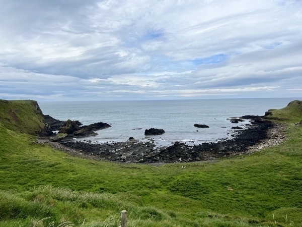
The Giant’s Gate
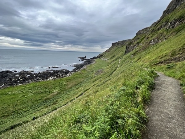
We came up the trail on the left, walked all the way to the end and returned on the trail to the right which we followed until we started the steep incline to reach the steps.
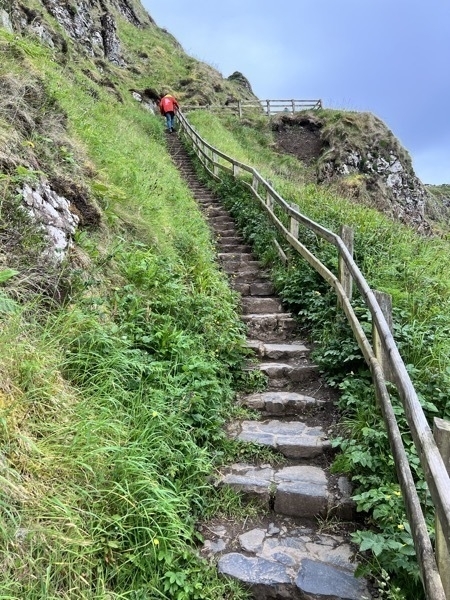
The steep trail ended with our climbing 150 stairs to get back up to the top to follow the Red Trail back to the visitor’s center.
The Dark Hedges
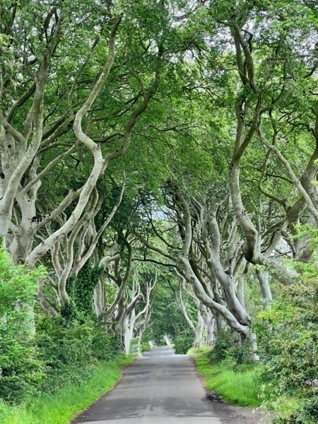
Our tour book recommended our seeing the Dark Hedges from Crown of Thorns. Since we have never watched that TV series, we weren’t sure what to expect. There were three tour buses in the lot where we parked. Luckily the bus passengers were walking BACk to the buses when we were walking there. I try not to get strangers in my pictures, so we had to wait a while for all the people to clear out. We probably drove12 miles out of our way to see this. We both agreed it wasn’t worth it...
Townhouse #8 in Londonderry is our B&B for the night.
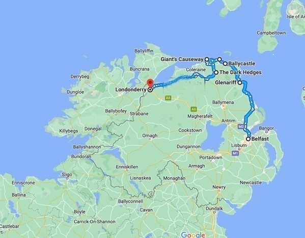
We drove a total of 128 miles today!
-
Belfast, Northern Ireland - Day 2
Titanic Museum
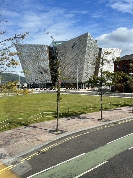
We rode the Hop On Hop Off Bus over to the beautiful Titanic Museum. The Titanic was built in Belfast and this museum is located beside the Titanic Slipways, the Harland and Wolfe Drawing Offices and the Hamilton Graving Dock where the Titanic was designed, built and launched. This fantastic exhibition has nine linked interactive galleries that outline Titanic’s dramatic story.
The six story building is designed with the bow-shaped facade of the ship with 3,000 different-shaped panels each folded from silver anodized aluminum sheets.
We also watched a movie designed by Robert Ballard about his discovery of the wreck in 1985 on the big screen which was amazing.
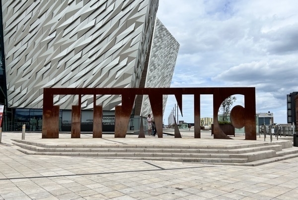
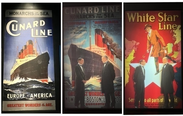
Advertisements for the White Star Line
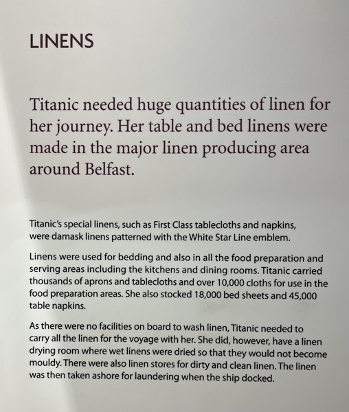
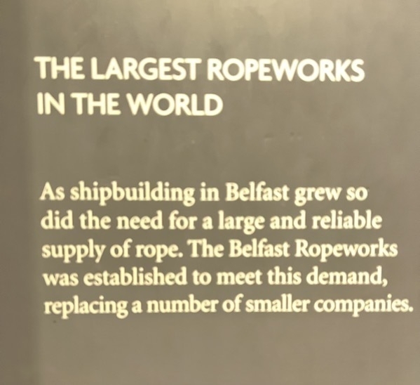
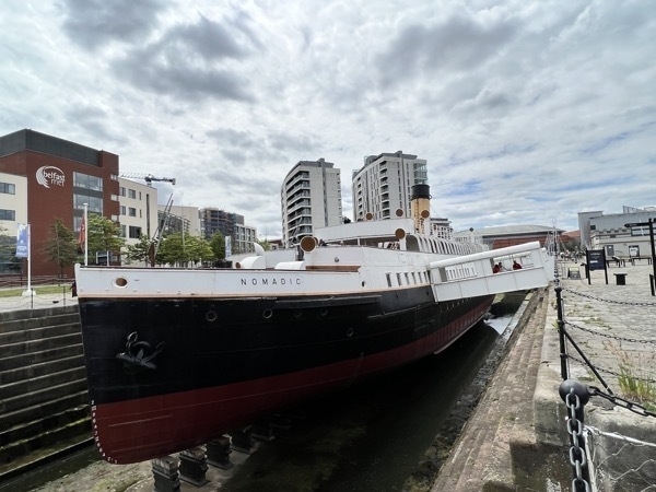
The Nomadic was used to tender the passengers who boarded in Cherbourg, France where the port was not deep enough for the Titanic to dock. It is the only White Star Line vessel still in existence,
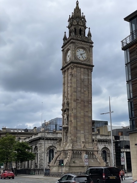
Albert Memorial Clock
Albert Memorial Clock was completed in 1869 and is referred to as Belfast’s answer to the Leaning Tower of Pisa. It was constructed on reclaimed land from the River Farset and weighs over 2,000 tons. It has a vertical lean of four feet.
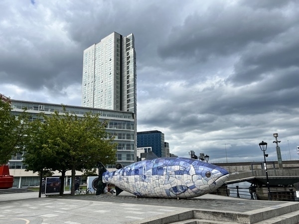
The Big Fish
The Big Fish, also called the Bigfish, is a printed ceramic mosaic sculpture by John Kindness. It is 33’ long 1and was constructed in 1999 in Donegall Quay in Belfast, near the Lagan Lookout and Custom House. The Big Fish’s image appears on Belfast and Northern Ireland related tourism material.The outer skin of the fish is a cladding of ceramic tiles decorated with texts and images relating to the history of Belfast. Each scale “tells a story about the city.” Material from Tudor times to present day newspaper headlines are included along with contributions from Belfast school children. The Big Fish contains a time capsule storing information, images, and poetry on the city.
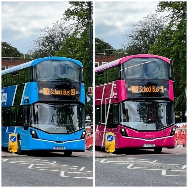
The school buses in Belfast are certainly fancier that what our school children ride in the US!
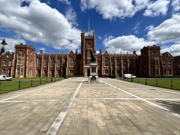
Queen’s College
We walked from our hotel to Queen’s College where we toured the Ulster Museum. From there we walked to see Albert’s Clock and the Big Fish. By the time we got back to the hotel we had walked 6 miles.
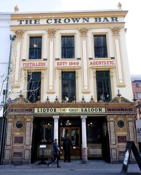
The Crown Liquor Saloon
The Crown Liquor Saloon was our final destination where we ate dinner.. The Crown has elaborate tiling, stained glass and woodwork created by Italian craftsmen who worked on the pub after hours. These craftsmen were brought to Ireland to work on the many new churches being built in Belfast at the time.
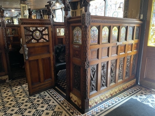
The Crown has ten booths, or snugs. Built to accommodate the pub’s more reserved customers during the .m Victorian period, the snugs feature the original gun metal plates for striking matches and an antique bell system for alerting staff. Extra privacy was then afforded by the pub’s etched and stained glass windows which feature painted shells, fairies, pineapples, fleurs-de-lis and clowns.
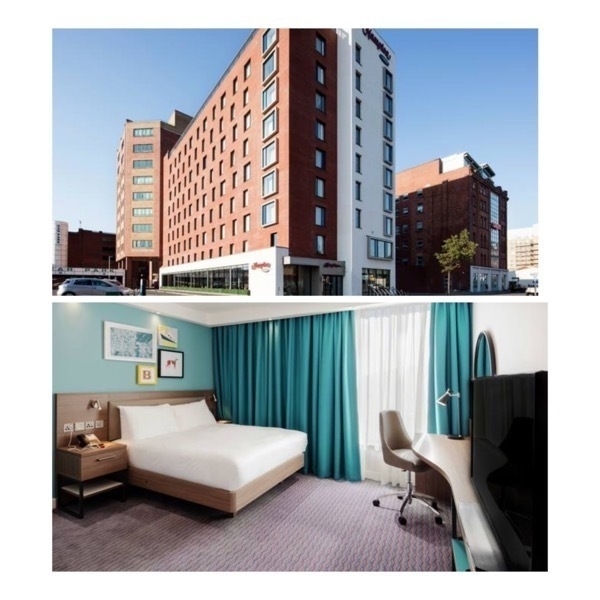
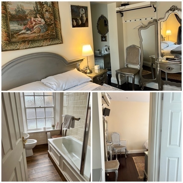
We stayed at the Hampton by Hilton Town Center the two nights we were in Belfast. It was a great location for walking to the town center and for catching the Hop On Hop Off bus. The cost of the room included a full Irish breakfast -bacon, sausage, eggs, mushrooms, beans, croissants, yogurt, pastries, coffee and juices.
-
Belfast, Northern Ireland
We left Lake Charles on a 7:22AM flight to Houston where we changed planes and flew to Vancouver, BC. From Vancouver we flew to Dublin and arrived at 8:45 AM on Tuesday morning. LONG combination of flights. When we landed in Dublin we’d been traveling 20 hours.
Upon arriving in Dublin we were surprised that there was no jet port to get off the plane. All passengers had to walk down the steps and across the tarmac to get to the airport.
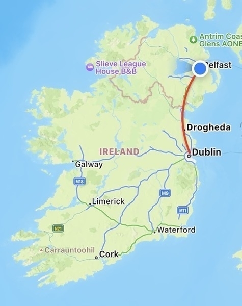
We rented a Suzuki from Eurocar ($754 and another $569 for insurance) and drove two hours to get from Dublin to Belfast.
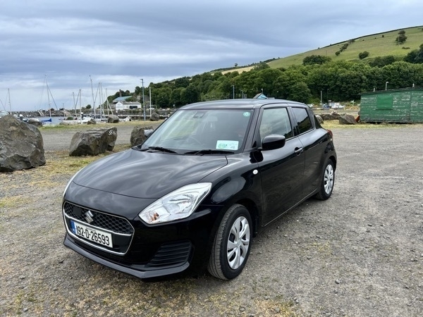
Gasoline is over $8.00 per gallon here so we are hoping it gets great gas mileage! It is really strange to drive on the opposite of the road. The windshield wiper, blinker, and gear shift are on the opposite side of the steering wheel than our cars at home.. Having said all of that, I drove the car just fine.
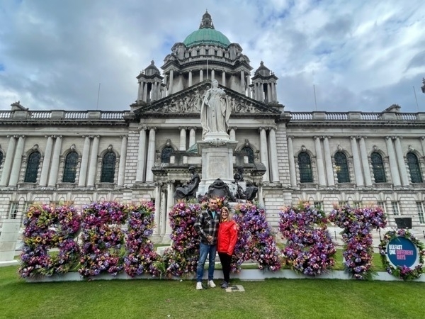
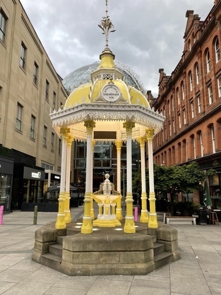
Here we are in front of the City Centre
Crumblin Road Goad
We took the Hop On Hop Off double decker tour bus ($26.45 each for two days) and got off at the Crumblin Road Goal, a prison built in 1845 and used until 1996. Initially prisoners were housed here to await transfer to other British Colonies. Before the prison was built, prisoners were shipped to America (until the Revolutionary War), but after that the prisoners were transferred to Australia and New Zealand. When we were in Australia in 2017 we were told that many of the earlier settlers were released prisoners from the British Colonies.
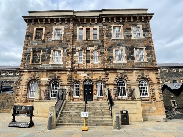
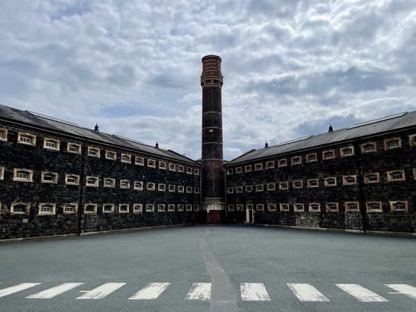
The cells were built for single occupancy with a capacity of 320. During the The Troubles starting in 1969 it was not uncommon to find three prisoners to each cell.awhile the prison population swelled to nearly 1,400. There was still no sanitation in the cells and chamber pots were still used.
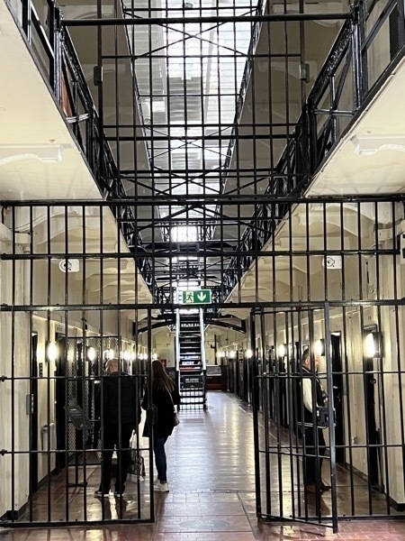
Belfast Peace Walls

The Belfast Peace Walls have been in existence for over 50 years and it all began with the riots of August 1969, commonly referred to as The Troubles.
Fierce sectarian violence broke out that month between the Loyalist community (Protestants that opposed Catholic Emancipation) of The Shankill Road and the Nationalist (the Catholic) community of The Falls Road.
Because of the ferocity and scale of the violence, the British Army was called in and set about constructing so-called ‘peace walls’ made of corrugated iron and topped with barbed wire. Set up quickly and rather crude looking, they were a simple solution for keeping the two communities apart from each other.
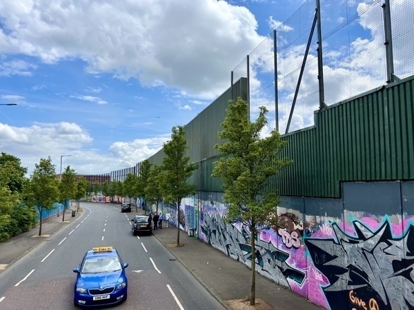
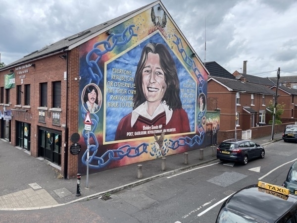
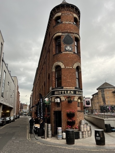
We walked through the center of the city and back to our hotel, Hampton Inn on Hope Road.
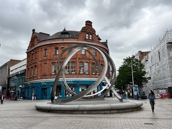
After seeing so many beautiful Chihuly glass piecesr in Tacoma and Seattle last summer we spotted a cheap little decoration and I commented that it was “no Chihuly."
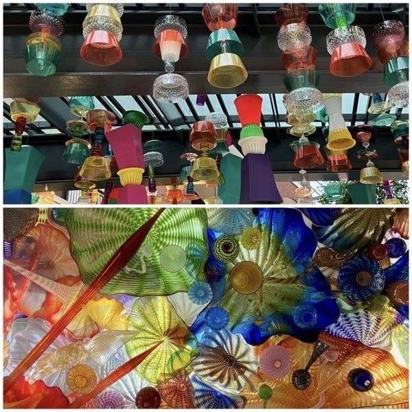
Chihuly glass display in Tacoma, Washington. Overhead street decoration in the City Center, Belfast.
By the time we finally fell asleep, we’d be awake for 34 hours and were thoroughly exhausted!
-
Key West
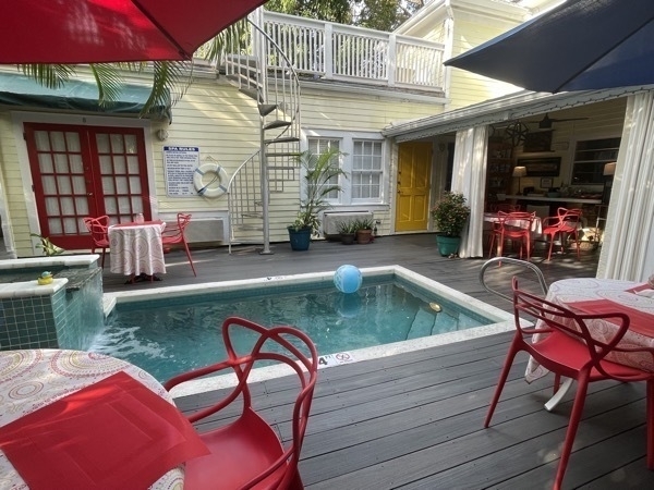
We drove from Miami down through the Florida keys to Key West where we stayed at Knowles House Bed & Breakfast. This was a wonderfully quaint home built over 150 years ago and within walking distance of Duvall Street and all the other business in the touristy part of Key West.
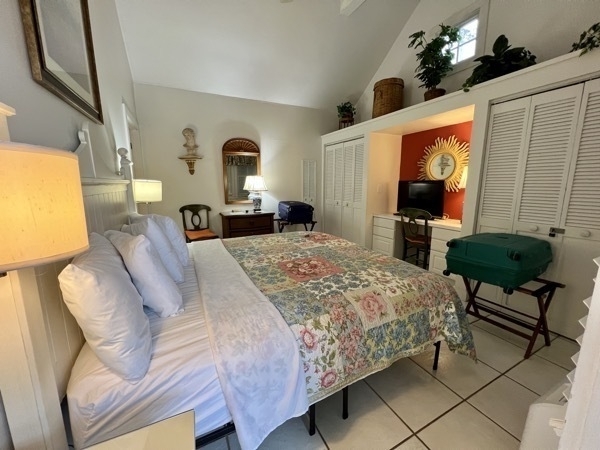
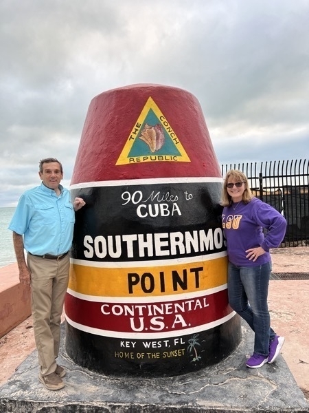
As soon as we set down our luggage we headed out to walk to the southernmost point of the United States to take advantage of the iconic marker photo opportunity. The marker was only 1.6 miles from the Knowles House. After getting our picture taken we headed to Duvall Street where we spent the evening walking in and out of shops and listening to music as we passed the bars and restaurants .
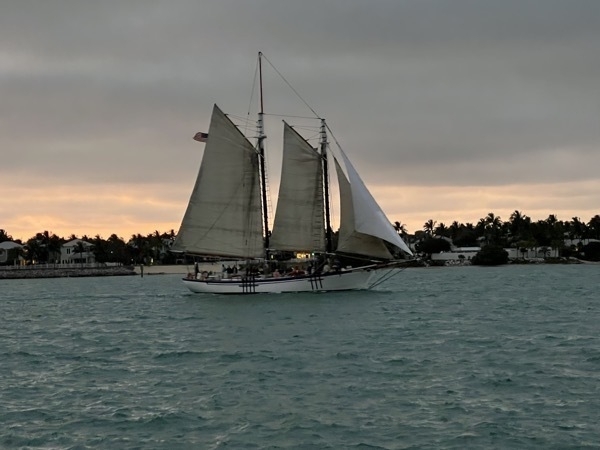
We ate dinner at the Sunset Pier while enjoying the music, the sunset, and the boats passing.
-
Miami
This morning we drove from our motel in Homestead to Miami to take the Big Bus Miami Hop-On Hop-Off Open Top Tour.
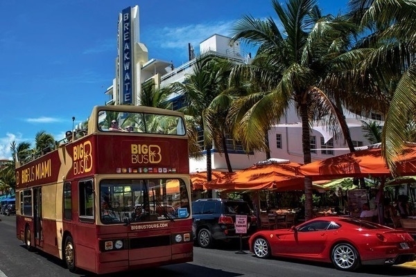
(Photo from the Big Bus website). Our skies definitely were not this pretty.
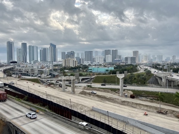
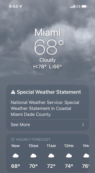
When we were crossing the bridge the winds were very strong and I, of course, was freezing although I was wearing my winter jacket and the hood.
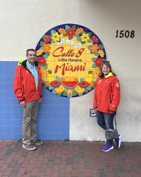
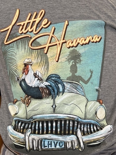
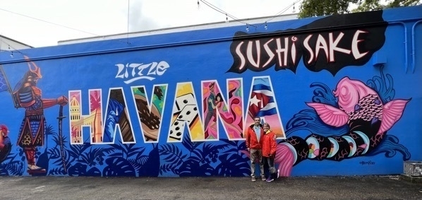
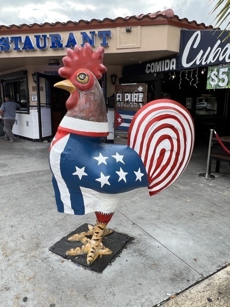
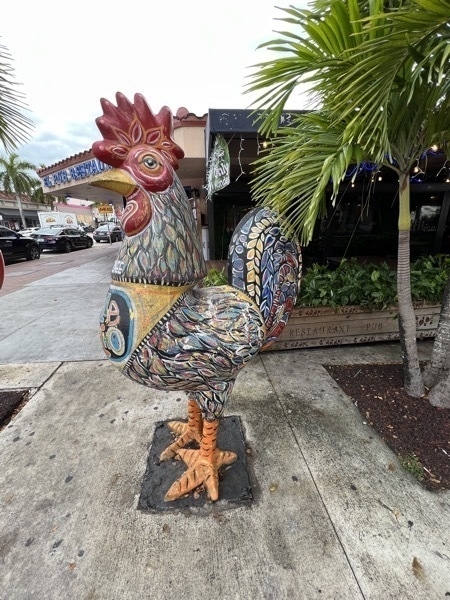
My favorite part of the tour was stopping in the Little Havana section of Miami and spending some time walking through the stores.
Little Havana is the best known Cuban exile neighborhood in the world. It is characterized by its street life, restaurants, music and other cultural activities, small business enterprises, political passion, and great warmth among its residents.
In 2015, Little Havana was included in the National Trust for Historic Preservation’s annual list of 11 Most Endangered Places. In 2017, the Trust declared it a national treasure.
subscribe via RSS