Carrick-a-Rede Rope Bridge and Giant's Causeway -Day 3
We left Belfast around 9:00AM and drove the M2 until we reached the Coastal Highway near Glenarm where we stopped to take a few pictures We drove through Glenariff and Ballycastle before reaching Carrick-a-Rede where we stopped to take a 2 mile hike to the Carrick-a-Rede Rope Bridge and back.
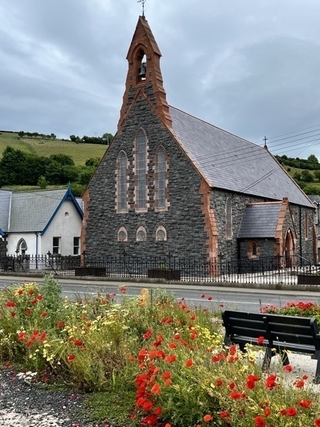
A roadside church in the town of Glenarm.

Poppies were growing wild along the roadway.
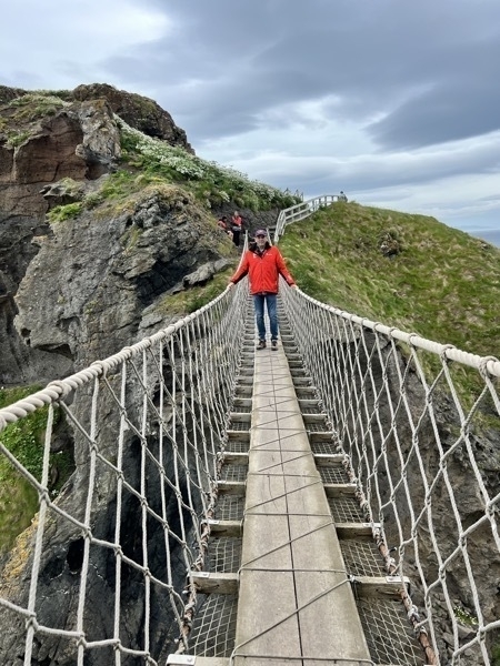
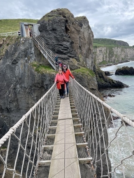
Carrick-a-Rede Bridge
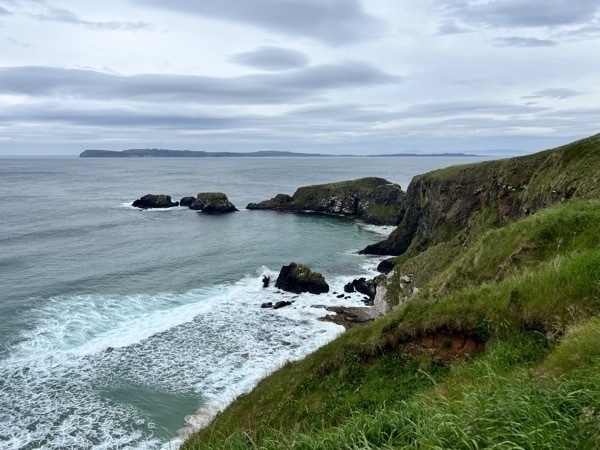
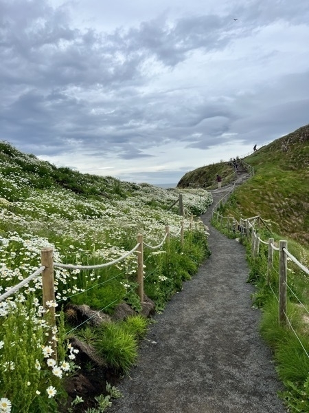
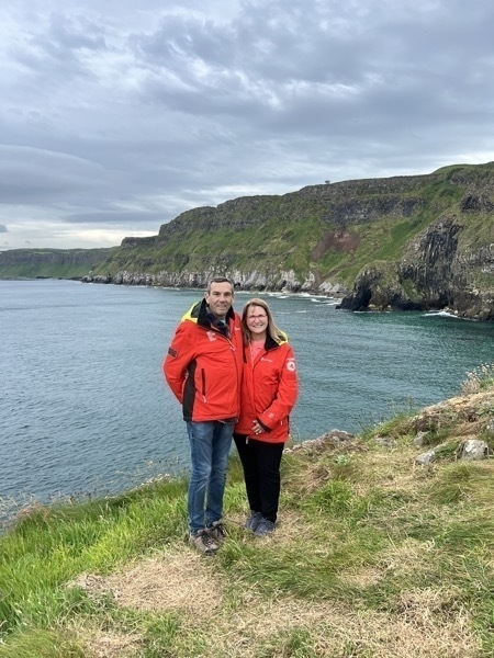
The beautiful hike to get to the bridge.
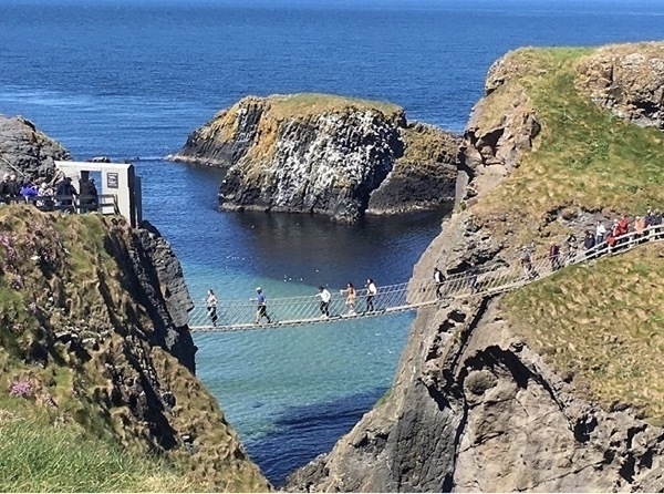
Swinging 100ft above the sea, made up of planks strung between wires, the rope bridge crosses a 6Oft chasm to the island of Carrick-a-Rede. The rope bridge was first erected by fisherman 250 years ago. so that they could check on their Atlantic salmon nets. The fishery was very important to this area.. It employed over a hundred men in Its heyday. Nets were originally set by boat, one end of the net was attached to the land and the rest was laid out in an arc to trap the approaching salmon.
When crossing the bridge, we were walking across the mouth of an ancient volcano, the Carrick-a-Rede volcano that erupted over 60 million years ago
Giant’s Causeway
Our next stop was the Giant’s Causeway. The Giant's Causeway is an area of about 40,000 interlocking basalt columns, the result of an ancient volcanic eruption. It is located in County Antrim on the north coast of Northern Ireland, about three miles northeast of the town of Bushmills. It was declared a World Heritage Site by UNESCO in 1986, and a national nature reserve in 1987 by the Department of the Environment for Northern Ireland.
The tops of the columns form stepping stones that lead from the cliff foot and disappear under the sea. Most of the columns are hexagonal, although there are also some with four, five, seven or eight sides.[
Much of the Giant's Causeway and Causeway Coast World Heritage Site is owned and managed by the National Trust. It is one of the most popular tourist attractions in Northern Ireland,
After parking at the visitor’s center we set out on a seven mile hike from the Visitor’s Center at the top of the cliff down to the sea where we walked on the hexagonal rocks and posed on the taller ones. We hiked the trail along the sea and then climbed up a much steeper trail that took us up 150 steps and back to the visitor’s center.
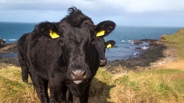
These two cows were the first things to great us. They were roaming around mingling with the visitors.
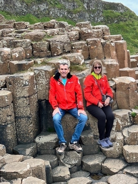
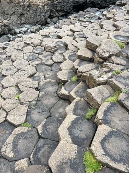
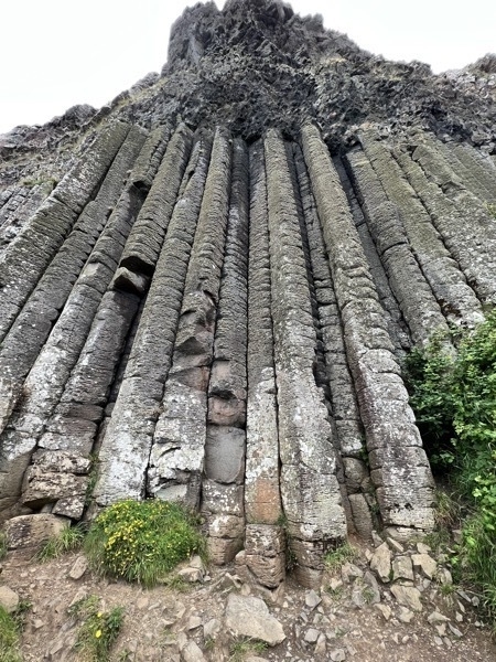
The Giant’s Organ Pipes
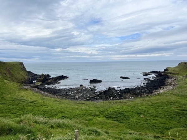
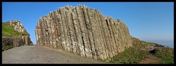
The Giant’s Gate
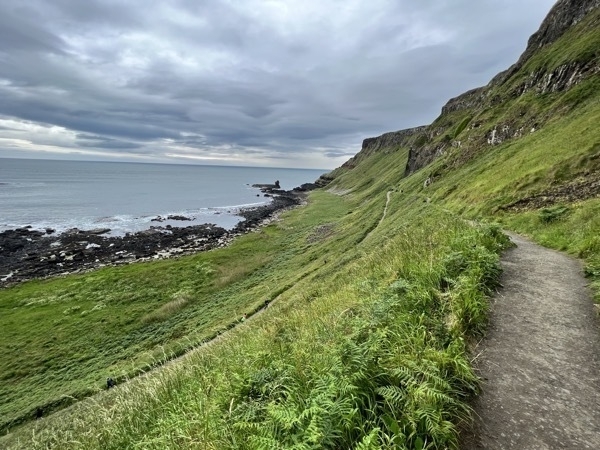
We came up the trail on the left, walked all the way to the end and returned on the trail to the right which we followed until we started the steep incline to reach the steps.
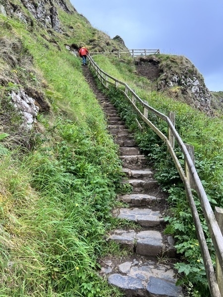
The steep trail ended with our climbing 150 stairs to get back up to the top to follow the Red Trail back to the visitor’s center.
The Dark Hedges
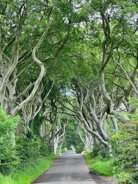
Our tour book recommended our seeing the Dark Hedges from Crown of Thorns. Since we have never watched that TV series, we weren’t sure what to expect. There were three tour buses in the lot where we parked. Luckily the bus passengers were walking BACk to the buses when we were walking there. I try not to get strangers in my pictures, so we had to wait a while for all the people to clear out. We probably drove12 miles out of our way to see this. We both agreed it wasn’t worth it...
Townhouse #8 in Londonderry is our B&B for the night.

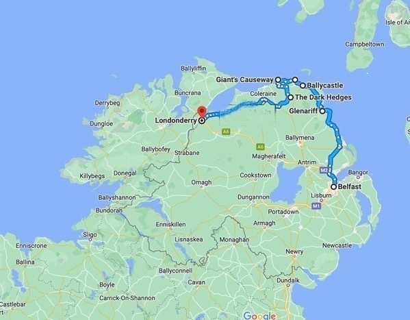
We drove a total of 128 miles today!