Tahquamenon Falls State Park & Whitefish Point, MI - Days 35 & 36
Tahquamenon Falls State Park
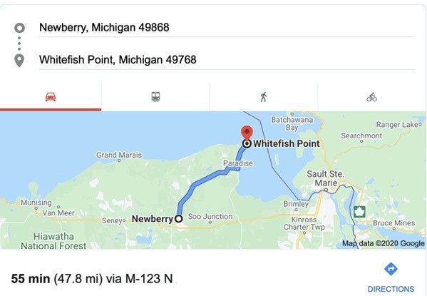
We drove 34 miles from the Newberry Campground in Newberry, Michigan to spend a few hours hiking between waterfalls in Tahquamenon (rhymes with phenonmenon) State Park. The Tahquamenon River with its waterfalls is the main attraction for this park of 50,000 acres spreading over 13 miles. The Upper Falls is one the largest waterfalls east of the Mississippi. It has a drop of nearly 50 feet and is more than 200 feet across.
We walked from the parking lot to the Upper Falls overlook which was only .5 miles to take a few pictures, It was much more crowded than we had anticipated, but we were prepared with our masks.
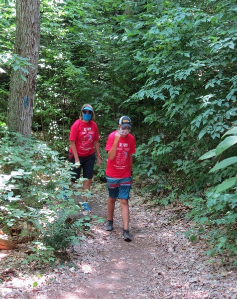
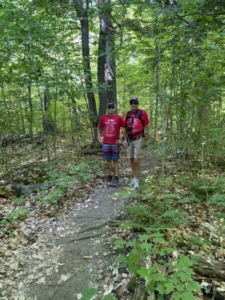
After taking a few pictures, we decided to hike to the lower falls, a four-mile trek. Most of the crowd was only interested in the overlook, but there were still some people who decided to hike the whole way. Since it would be another four miles to hike back (and mostly uphill the whole way), Tom hiked the first mile with us and then hiked back up to get the car, while Ben and I continued hiking to the lower falls. By the time we got there, Tom had driven to the lower falls parking lot, parked the car, and met us on the trail about .5 miles from the lower falls.
The hike was strenuous in some spots, but basically just a pleasant hike though the forest.
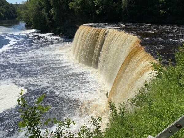
According to a gin by the falls: ”The falls are brown because of the tannic acid in the water caused by organic materials that originate from the decomposing vegetation founds in the cedar, hemlock and spruce forest found in the drainage basin. The tannic acids and other naturally occurring acids that stain the water are very weak and have little effect on lowering the natural pH of the river.. Over the last 20 years, the average pH has remained at 7.3 (slightly basic), which is safe for fish and wildlife.”
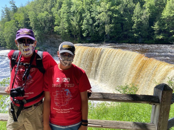
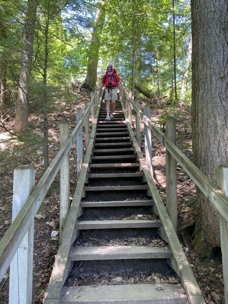
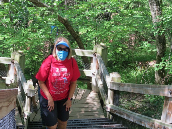
It definitely isn’t easy hiking in a mask, but we were diligent about wearing them when any people were near.
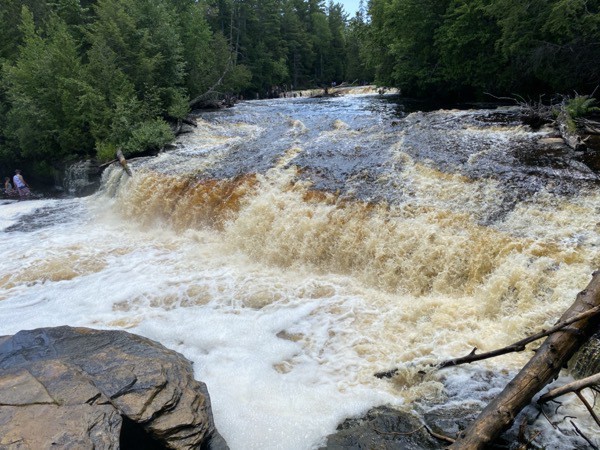
The Lower Falls
Whitefish Point
After leaving the state park, we drove 22 more miles to Whitefish Point.
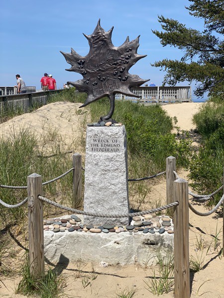
According to a sign at Whitefish Point, it “has been called the graveyard of Lake Superior. Since navigation began on Lake Superior, there has been approximately 550 wrecks. More vessels were lost in the Whitefish area than any other part of Lake Superior. …Coliisions were more common in earlier times because there were more vessels. In the 1880’s over 3100 commercial vessels were on the lakes compared to less than 200 today. Since the first known shipwreck of a commercial vessel, the Invincible, in November 1816 to the Edmund Fitzgerald on November 10, 1975, approximately 320 lives have been lost in over 300 shipwrecks and accidents.”
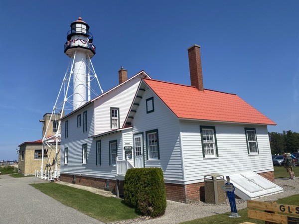
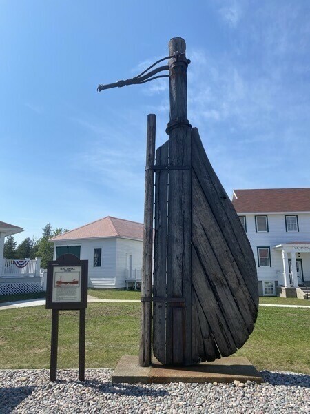
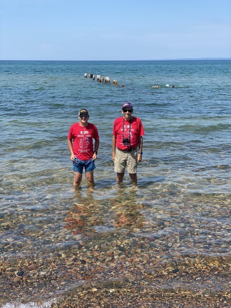
Ben and Tom getting their feet wet in Lake Superior
Trip Statistics
- We have driven a total of 3,995 miles – 2,697 in Big Hat and 1,298 in the car .
- Gas total 783.37 or an average of $21.76 per day.
- Newberry Campground was $55.00 per night for a total campground cost of $1378.36 or an average of $38.29 per night.