-
Dry Tortugas National Park
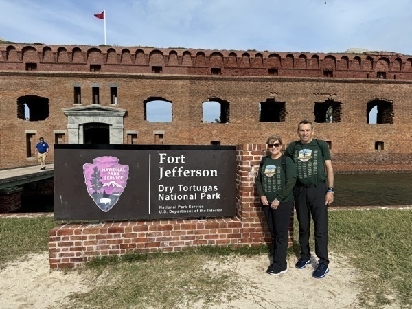
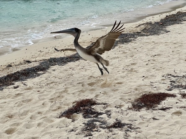
After four attempts over three years, we finally made it to Dry Tortugas National Park, our 58th National Park (out of 63).
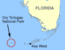
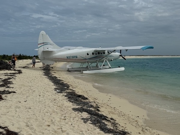
It is located in the Gulf of Mexico 68 miles off Key West and is accessible only by seaplane or boat. Three times we have booked a seaplane to take us there (40 minute flight) and three times it’s been cancelled due to high winds. So, yesterday’s flight was cancelled right as we were leaving the guesthouse for the airport. Before we left Lake Charles, we also booked a boat trip as a backup and that’s how we got there today. It’s a 2 1/2 hour ride each way and coming back today the seas were very rough.
I was very nauseated on the way home, and couldn’t even open my eyes. I was thinking that I couldn’t believe I had PAID to be this sick. Anyway, one more ✔️ on our bucket list!
The boat company drew my name for a free boat trip back to Dry Tortugas.😳 I said , “No thanks!!!” They gave me a nice dry fit long sleeve shirt instead.
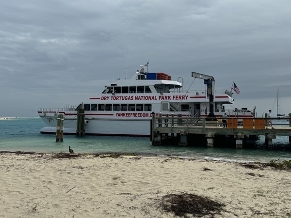
We arrived on the Yankee Freedom boat operated by the National Park. The cost was $185 each for seniors. Although our scheduled flight didn’t happen yesterday ($451 per person), today the planes were able to fly.
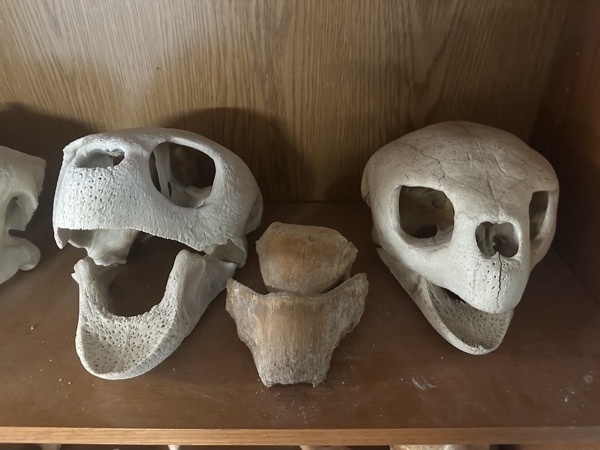
The first European to see the Dry Tortugas was Juan Ponce de León, who visited on June 21, 1513. Ponce de León caught 160 sea turtles there and subsequently referred to the islands as the "Tortugas" (turtles). They are called Dry owing to the absence of surface fresh water on the island. The name is the second oldest surviving European place-name in the US.
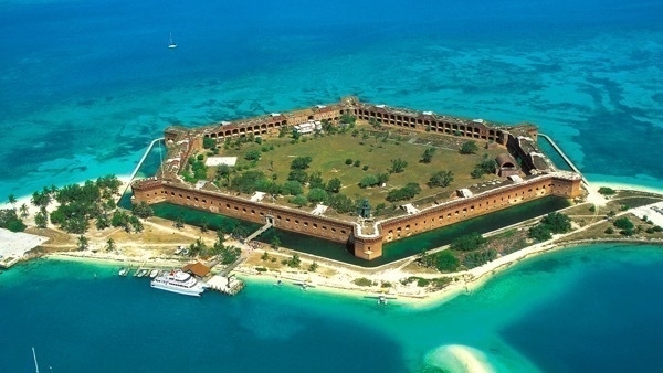
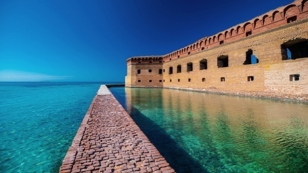
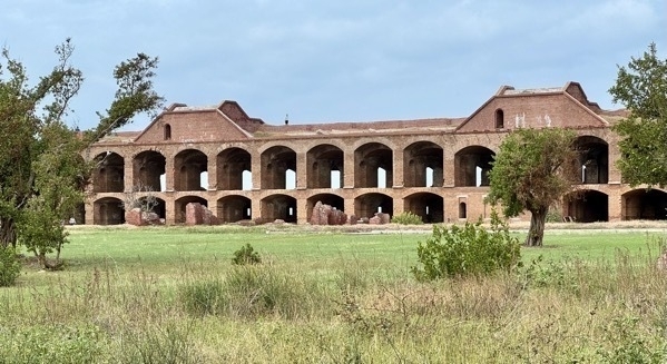
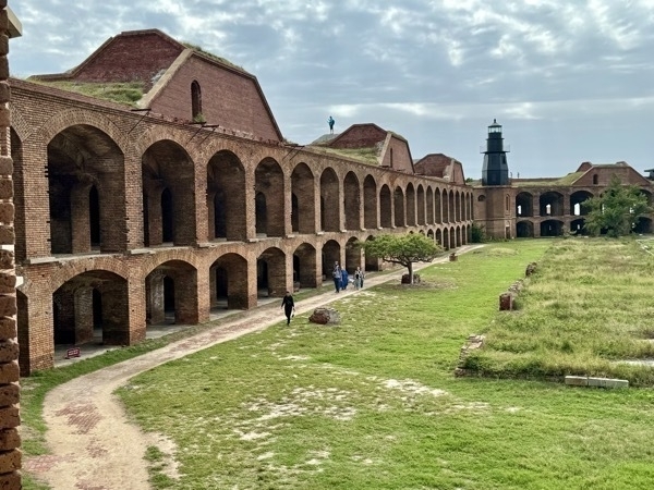
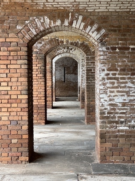
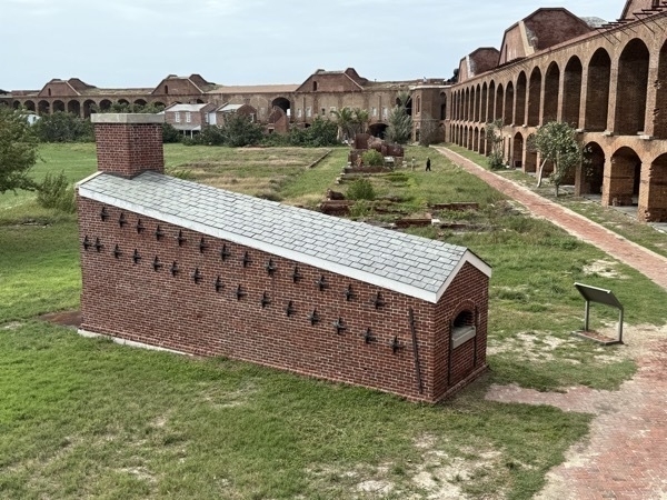
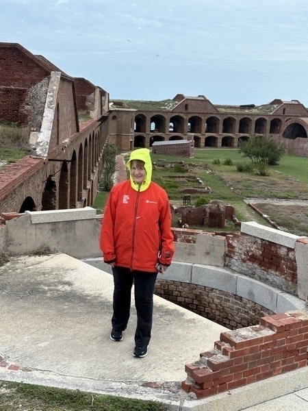
The park's centerpiece is Fort Jefferson, a massive but unfinished coastal fortress. Fort Jefferson is the largest brick masonry structure in the Western Hemisphere, composed of more than 16 million bricks.
-
Key West - Day 2
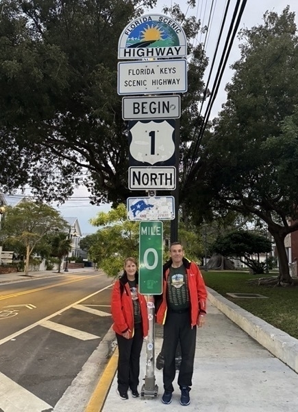
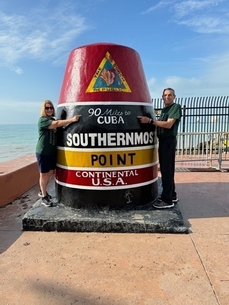
We walked to the Southernmost point in the continental USA after breakfast to get this iconic picture. It was only .6 miles from where we are staying. We did a little shopping and then went back to the guesthouse to get ready for our plane trip on Seaplane Charter to Dry Tortugas National Park. Seeing this park was our whole reason for coming to Key West. I was just picking up my phone to get and Uber to the airport when the Seaplane Company called and cancelled our trip because of high winds. Within 10 minutes after their call, it started raining very hard and the winds were blowing hard. It rained that way for over 1 1/2 hours and then it drying up and was nice the rest of the day.k.
We walked down to Wendy’s for lunch and then spent the afternoon walking through the different shops up and down Duval Street.
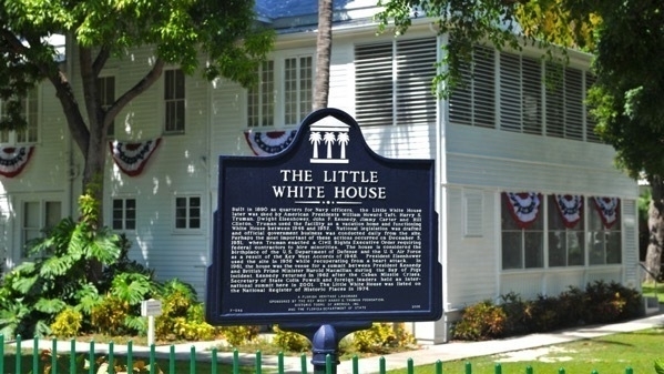
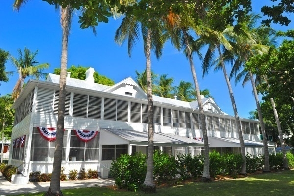
We also took a wonderful tour of The Little White House. It was built in 1890 as quarters for Navy officers, the Little White House was later used by American Presidents William Taft, Harry S. Truman, Dwight Eisenhower, John Kennedy, Jimmy Carter and Bill Clinton. Truman used the facility as a vacation home and functioning White House between 1946 and 1952.National legislation was drafted and official government business was conducted daily from the site. Perhaps the most important of these actions occurred on December 5, 1951, when Truman enacted a Civil Rights Executive Order requiring the federal contractors to hire minorities. The house is considered the birthplace of the U.S. Department of Defense and the U.S. Air Force.
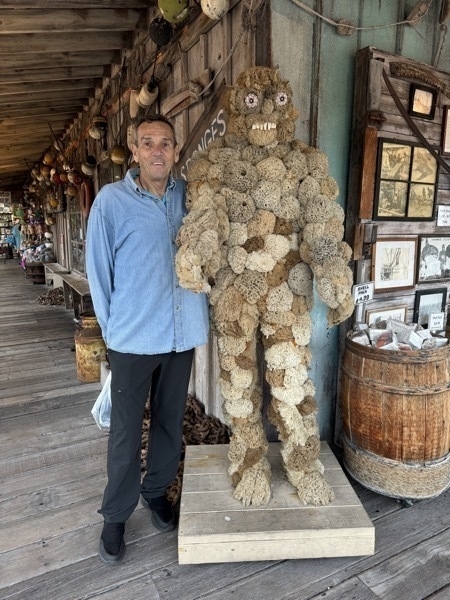
This decoration was made from sponge, shell (the eyes) and animal bones (the teeth).
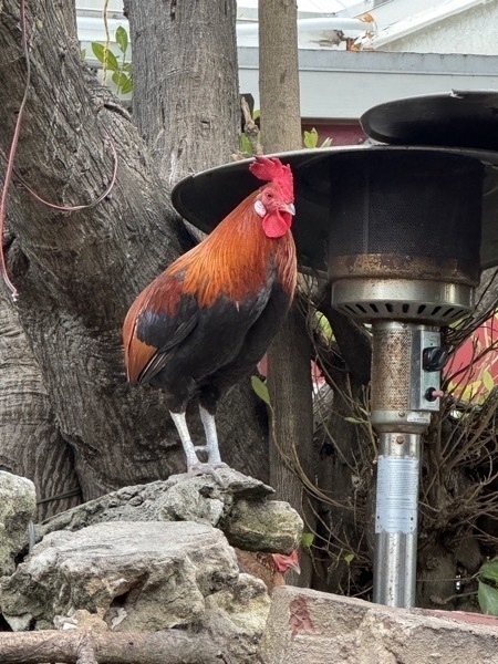
Roosters are everywhere in Key West.
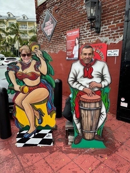
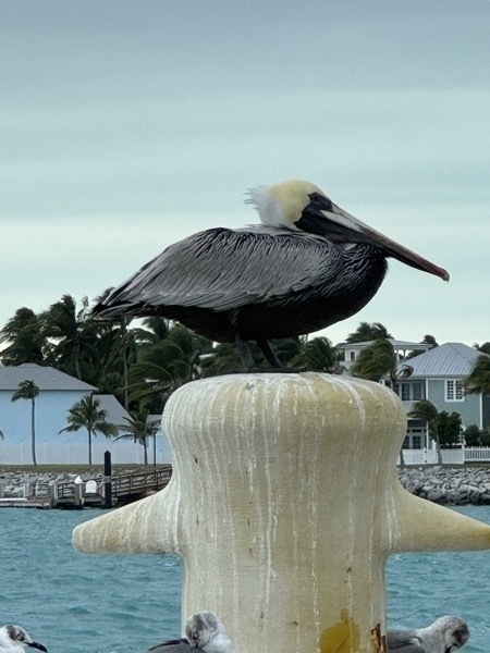
We ate dinner at the Viva Argentinian Steakhouse which is right beside where we are staying at the Wicker Guesthouse.
-
Key West, FL Days 1
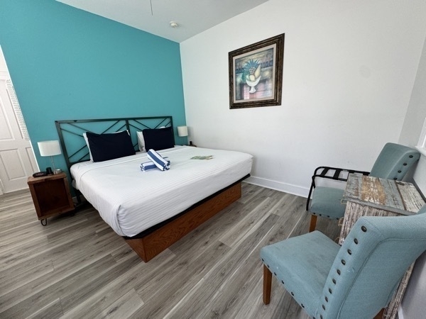
We flew from Lake Charles to Key West on January 6 and got an Uber to the Wicker Guesthouse where we are staying. It is very centrally located right on Duval Street. We didn’t need a car because it was so easy to walk everywhere.
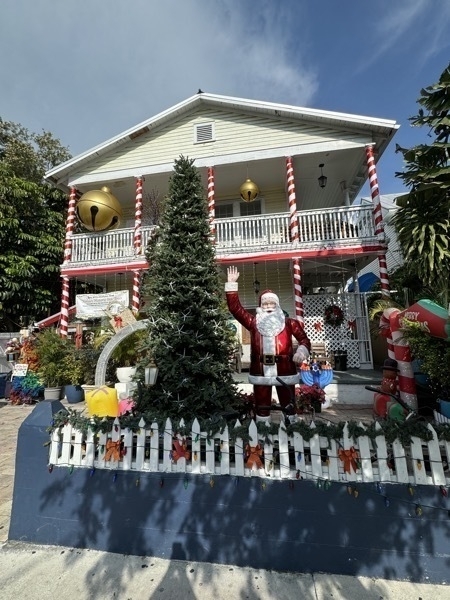
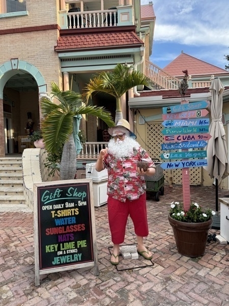
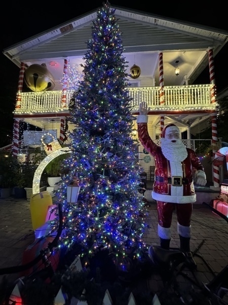
We walked to the end of Duval Street to the Ocean. One the way back we saw this Santa and thought he was an actual person, but alas he was just a moving dummy.
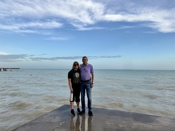
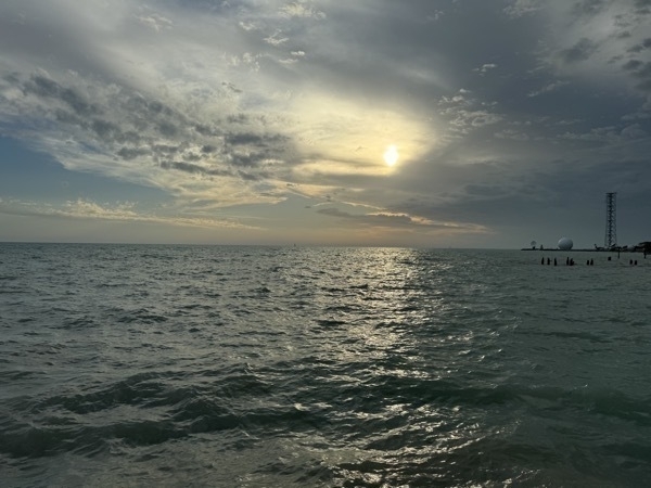
Joe and Brenda Cimini picked us up at Wicker Guesthouse in their golf car and gave us a tour of Key West. The city was still decorated for Christmas, so it was very pretty to see all the lights. We ate dinner at Half Shell Raw Bar and enjoyed a nice evening visiting with them and catching up with the Lake Charles and Montgomery news.
When we got to Wicker Guesthouse, we enjoyed seeing the Christmas decorations there lit up.
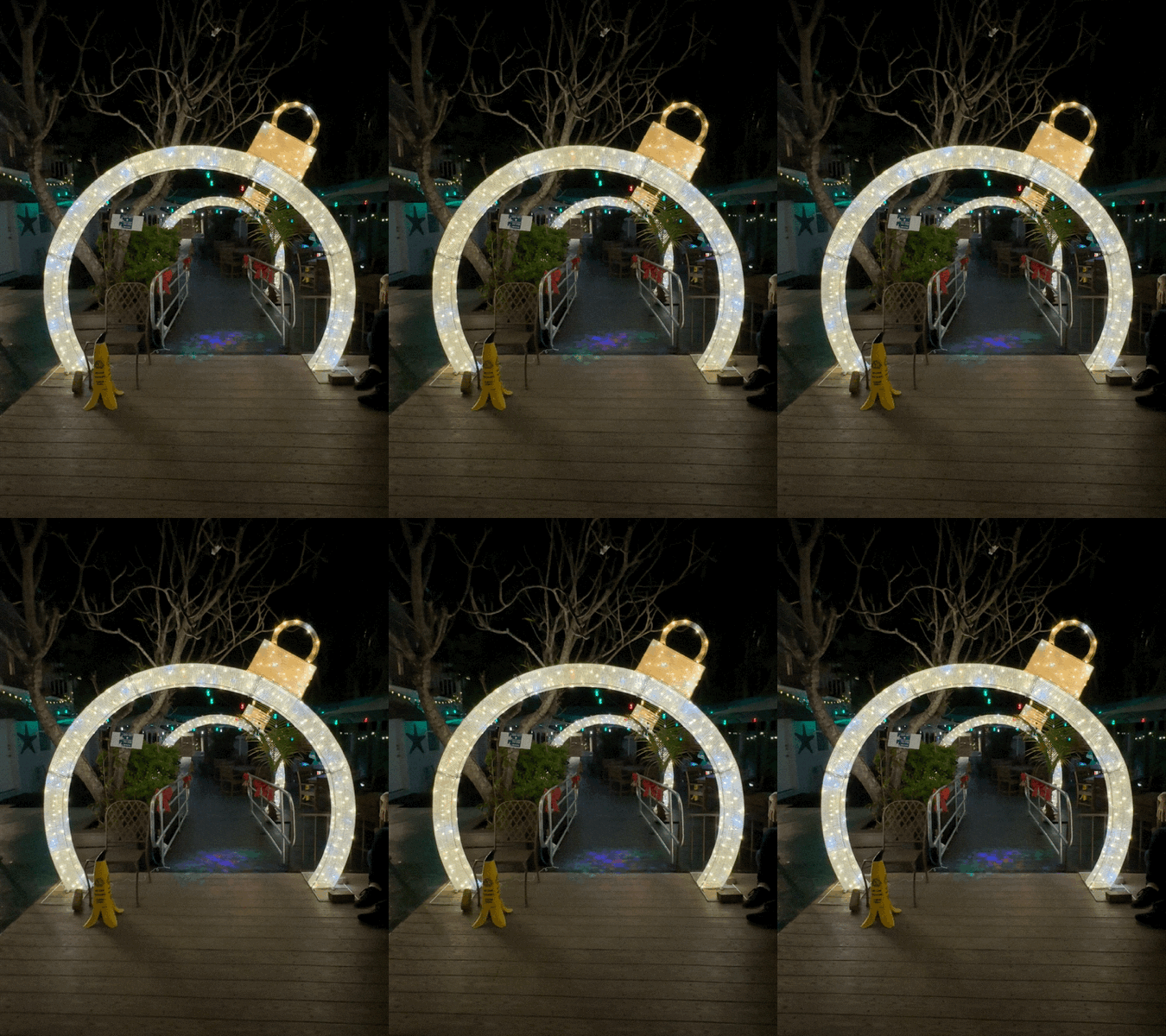
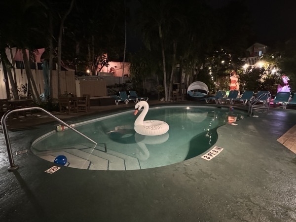
It was a nice day and we ended up walking 5.2 miles and 11,614 steps.
-
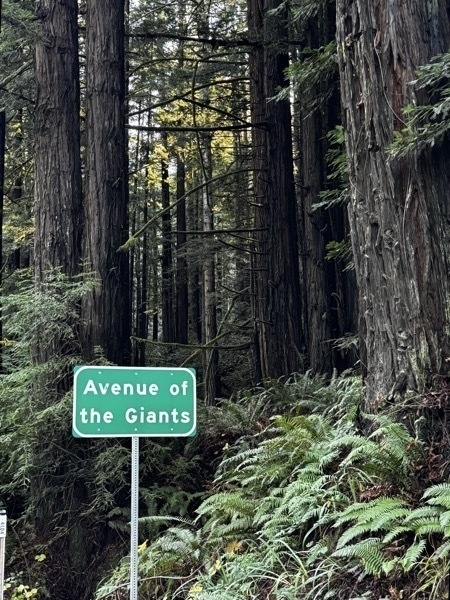
Avenue of the Giants
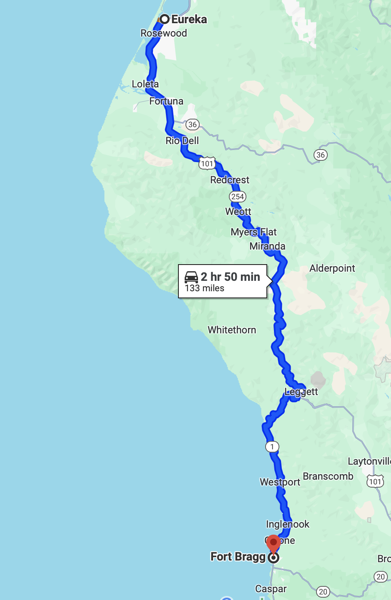
We started the day by driving Hwy 101 S from Eureka until we saw the exit for Avenue of the Giants.
We stopped at the Humboldt Redwood Interpretive Center.
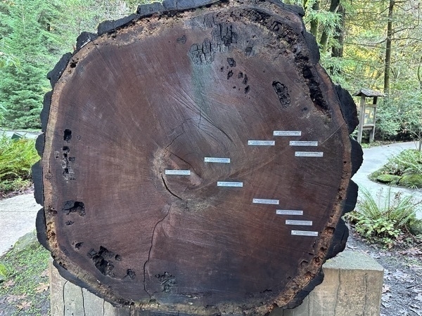
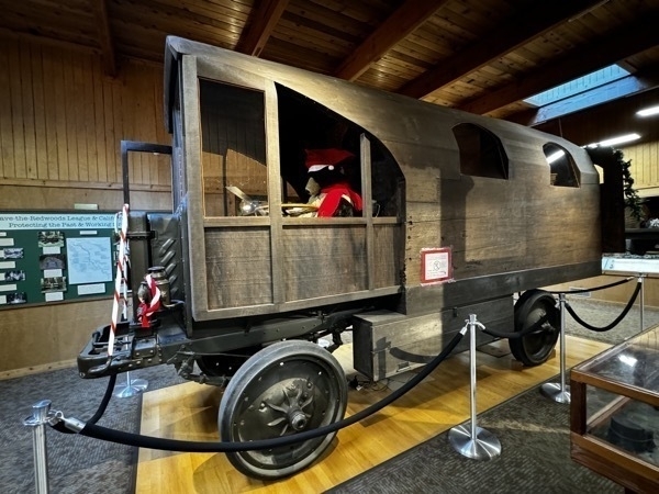
This motorhome was made from a previously fallen redwood donated by the Pacific Lumber Co. Using a one-man saw Kellogg cut off a 22 foot section of the 11 foot diameter tree to build his Travel-Log. He used cables and the Nash Quad to fill the huge log to the work sit. Then he and two helpers began shaping the exterior.
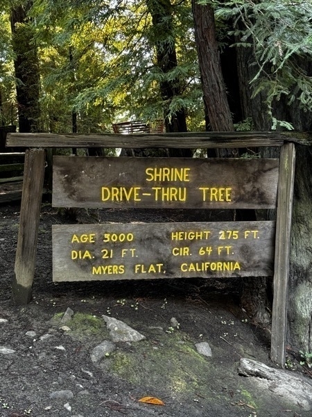
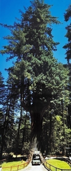
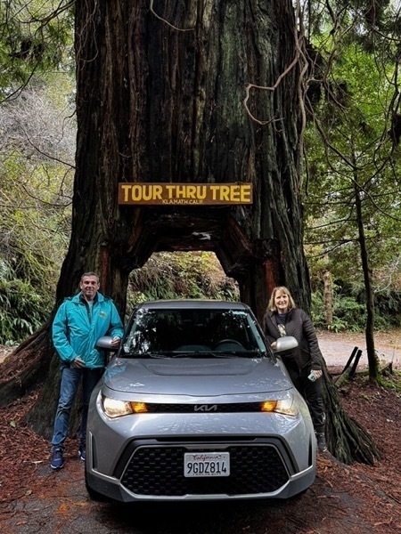
We stopped at the Shrine Drive Thru Tree to drive through it and also see the two houses made from redwood trees.
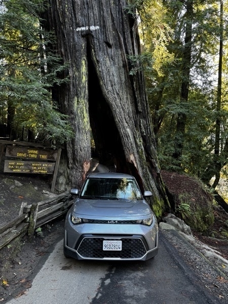
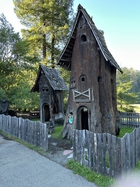
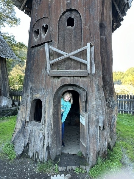
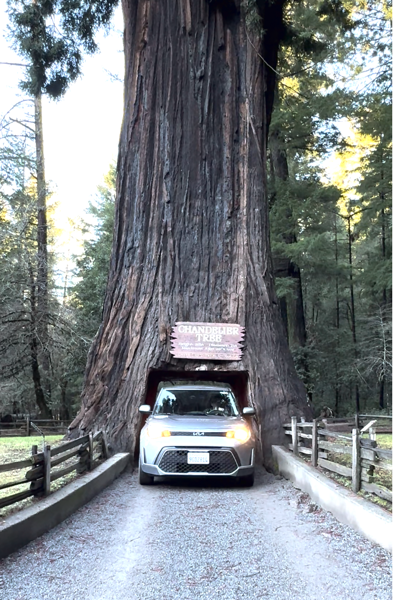
The beautiful Chandelier Redwood—315 ft. Tall, 21 ft. In diameter with a maximum age of 2400 years. Leggett, CA
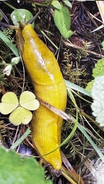
Apparently banana slugs are everywhere in this area. Every gift shop had stuffed animal ones for sale.
-
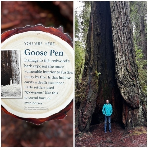
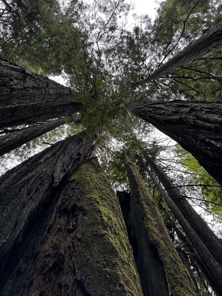
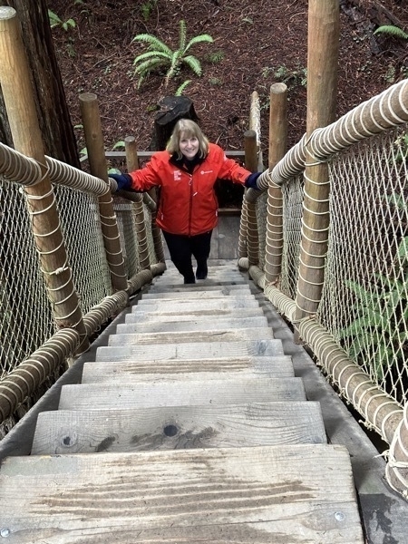
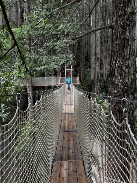
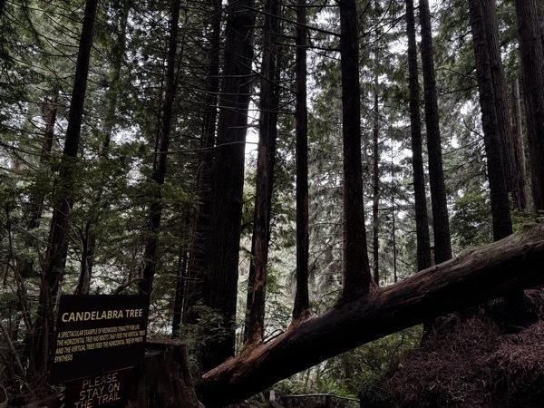
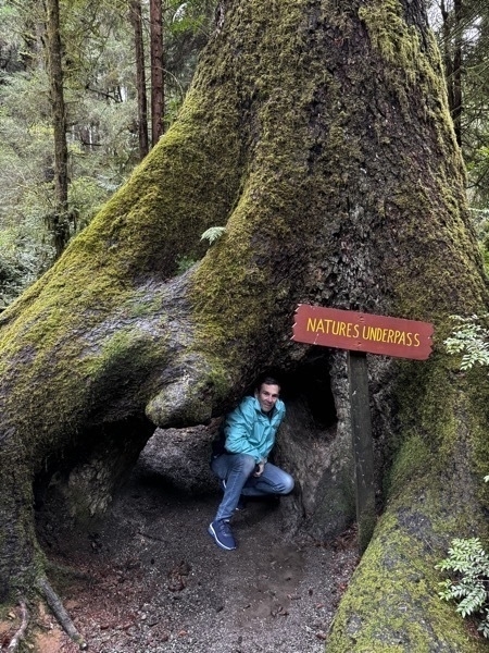
Redwood National Park
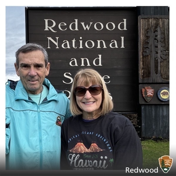
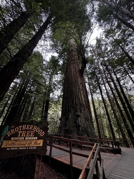
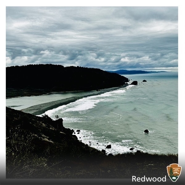
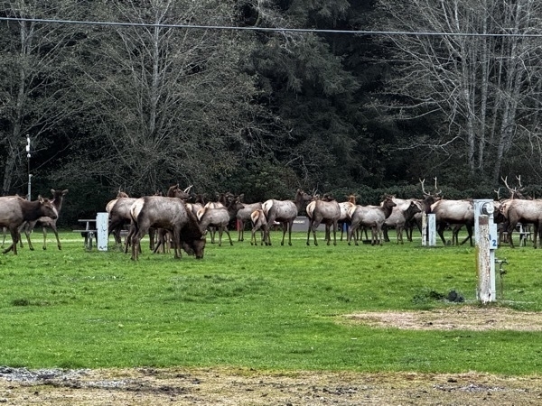
We made it to our 57th National Park! Redwood National Park and State Park is combined. In 1884 the state of California and the National Park Service combined their management of these parks.
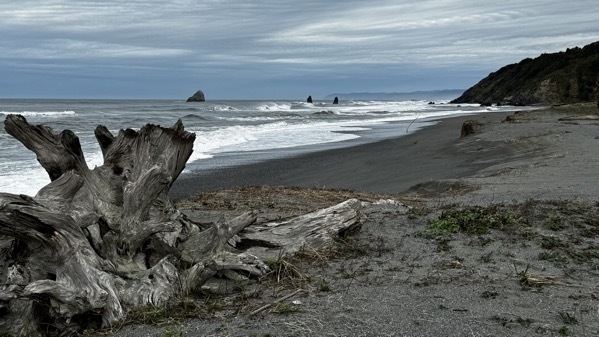
The beach at Trinidad
-
Ft. Bragg, CA - Riding the rails at Pudding Creek
We started at the Shunk Creek Train Depot in Ft. Bragg and followed a guide on a two person electrically enhanced custom built rail bike. We rode 3.5 miles to Glen Blair Junction for a 50-minute layover to enjoy walking amongst the giant redwoods before peddling back to the Train Depot.
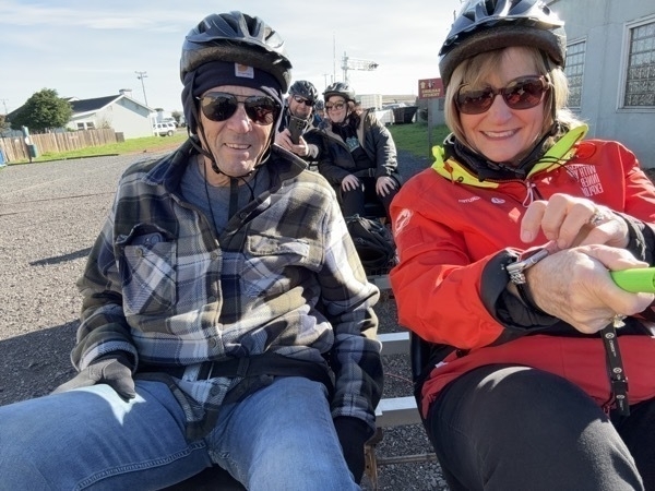
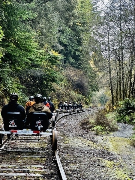
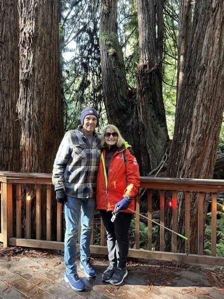
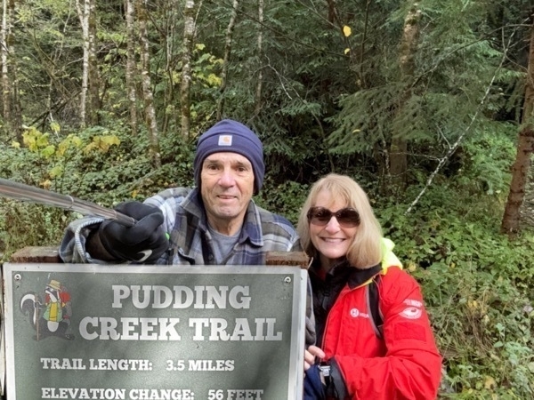
With all the redwoods and evergreen trees is this area of the country, the few tress with changing leaves really stand out!
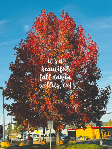
Afterwards, we drove 30 miles to Willits to buy a new tire for the rental car. It took over two hours to get the tire mounted and changed, so it was dark by the time we drove the 84 miles back to Eureka.
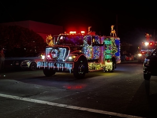
As we were driving to our Airbnb in Eureka, we were stopped by the Christmas parade of firetrucks, tow trucks, and emergency vehicles decorated for Christmas. Good thing there was no emergency in the area at the time because all the emergency vehicles must have been in line at this parade.

-
Houstonto Eureka to Ft Bragg
We flew from Houston to Eureka, CA to see the beautiful redwood trees and ride the skunk rail train. Since our reservation was for 1);30 the next day, we decided to get our rental car and drive down to Ft. Bragg. Our plan was to ride the Railbikes along Pudding Creek.
We drove on Rt 101 until we turned onto Rt. 1. By this time it was totally dark, and there were no lights or signage on the road. Rt 1 was a steep, mountainous road with tight turns and no shoulders. We had a blowout of the front passenger side tire. We were in the middle of nowhere, 40 miles from Ft. Bragg, our destination for the night . We had no cell phone reception and I had to drive almost two miles before I could find a place to pull over so we could change it. We took off the tire and replaced it with the small spare which isn’t supposed to be used for more than 50 miles. Our plan was to got to a tire dealer in Ft. Bragg the next day and buy a new tire.
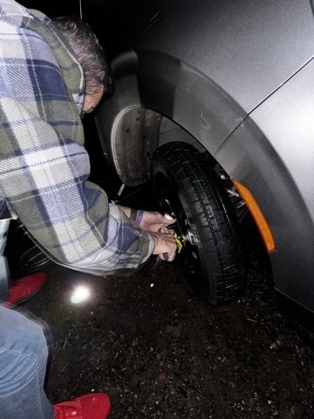
Tom was changing the tire by light of his cell phone.
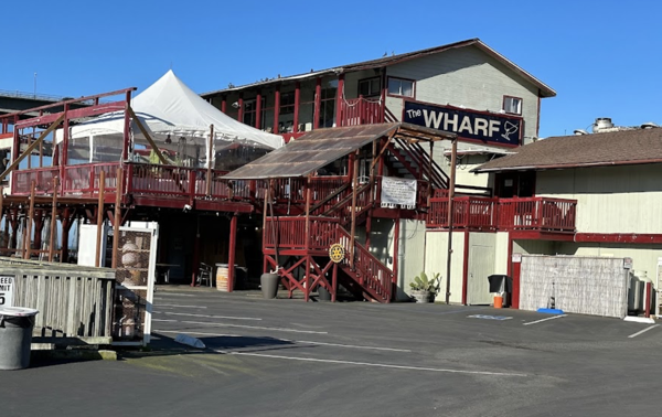
We ate a devious dinner at The Wharf which was located right next to the water in Ft. Bragg. I had delicious fish tacos, coleslaw, black beans and rice. Tom had Fried fish and fries. We both enjoyed out meal.
-
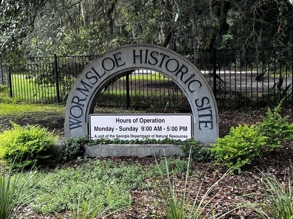
Wormsloe State Historic Site
We visited Wormsloe Historic Site to participate in Georgia’s "First Fourth” which portrayed the arrival of the Declaration of Independence in Savannah on Aug. 10, 1776, After the Declaration was read, the reader burned a cloth effigy of a British Soldier and fired a shot to symbolize the beginning of the American Revolution .
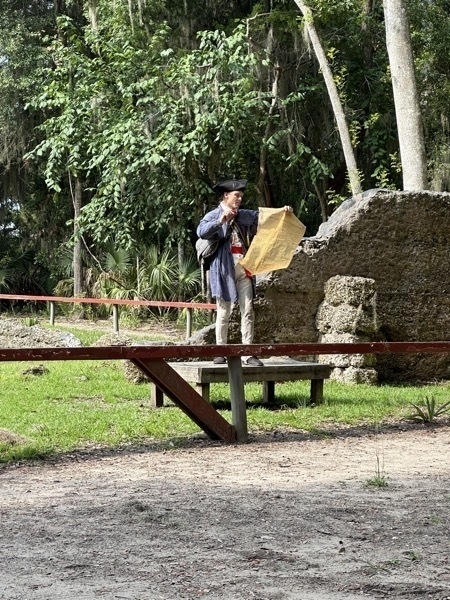
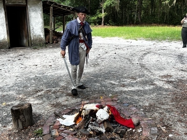
An effigy of a British soldier was burned to symbolized the end of their reign in the new world.
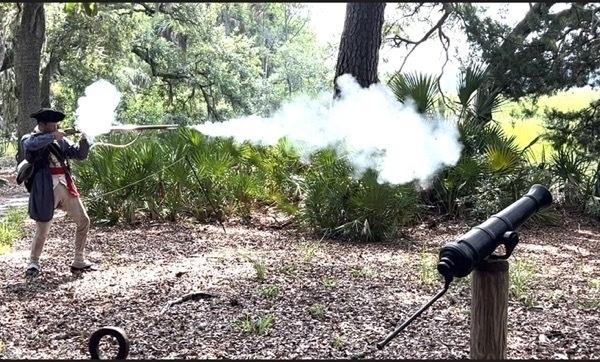
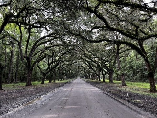
We entered the park by driving over a mile through the beautiful Oak Tree canopy.
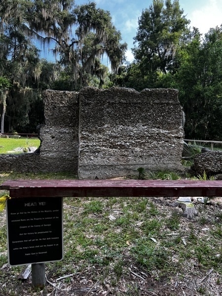
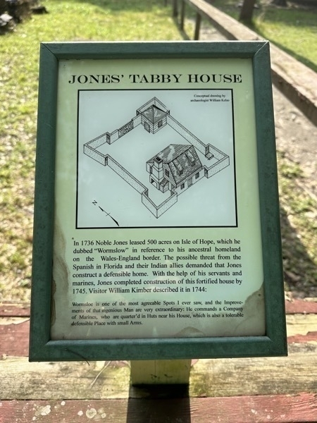
Noble Jones’ fortified tabby house was surrounded by eight foot high walls to protect the family from attack by the Spanish and their Indian allies during the War of Jenkins’ Ear (1738-1748). Construction of the house took almost six years and required mixing more than 9,000 bushels each of lime, sand, oyster shells, and water to make tabby. Large shell middens (a large pile of waste) left behind by Native Americans nearby were mined for oyster shells, some of which were heated in kilns to produce lime-rich ash. Once the four ingredients were mixed the wet tabby was poured into wooden molds to solidify for several days. After setting, the molds were removed and reassembled on top of the hardened tabby before another layer was poured. The 1 1/2 story home was twice the required size of Savannah homes and contained five rooms.
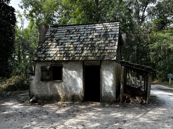
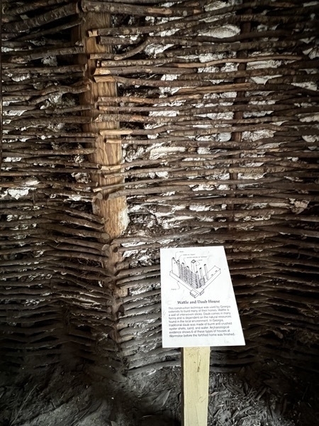
This is a reconstruction of a small wattle and daub huts used as quarters for Jones’ marines, indentured servants, and probably slaves.Inside walls are pictured below.
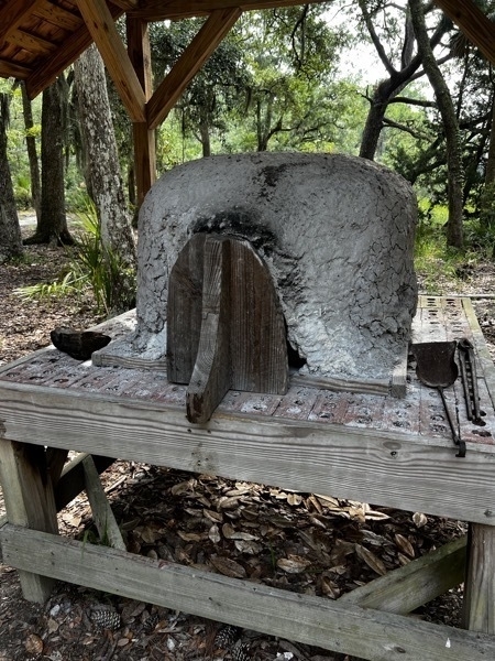
Pictured below is an oven used to baked bread and pies.The woman get up about 4:00 in the morning and building a fire outside. Once the wood is burned and turned into ashes, the ashes are moved in the over and the door is shut. Those embers are left several hours to heat up the over. The ashes are removed, the bread or pie are inserted, the door is shut and the food cooks.
We crossed the Moon River (which is not the river in Johnny Mathias’ famous song “moon River.”)
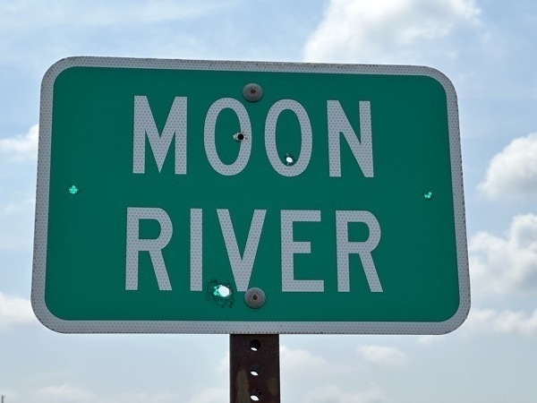
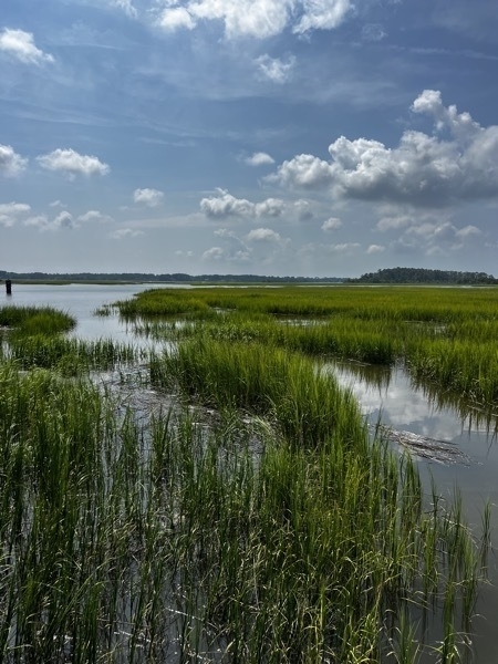
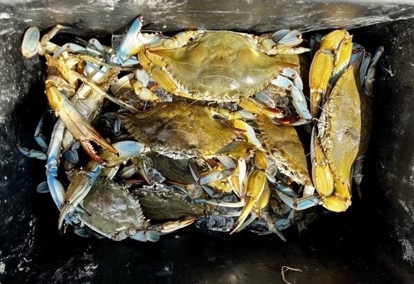
When we stopped to see Moon River, several women were crabbing. This was her catch for today.
Lunch in Savannah
I drove into Savannah to meet my childhood friend Julie Traylor who lives in Hilton Head. We hadn’t see each other for over 30 years and had a great visit catching up with old times.
Skidaway State Park
We are are staying in Skidaway State Park again today for $30 a night. It’s a nice campground with big lots, privacy, and a nice place to ride bibles.
-
Savannah, GA
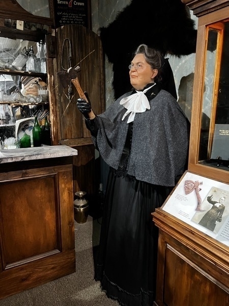
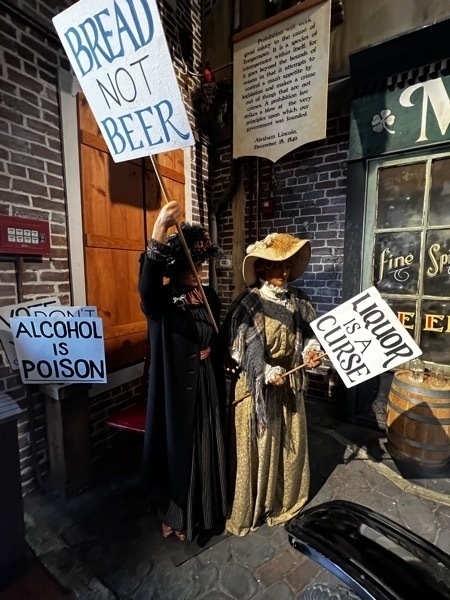
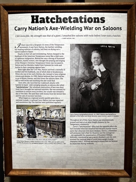
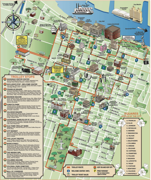
We took an Old Town Trolley Tour of Savannah with a very interesting tour guide named Ray for the first 3/4 of the tour. When we got off a the Prohibition Museum and then got on another trolley our guide was Chey and we had a very hard time understanding what she was saying.
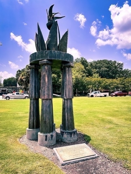
Prohibitions Museum
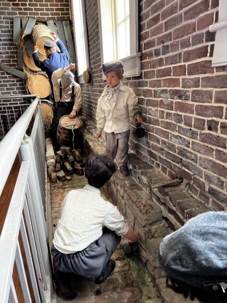
Prohibition Whiskey Gutter, Sentember 10, 1926 -Neighborhood children scramble to scoop up whiskey and wine from a gutter after Prohibition agents destroyed barrels with axes and dumped its contents into the streets at the intersection of Van Brunt and Sackett
Streets, Brooklyn, New York. While nowhere to be seen, the children's parents clearly are behind the scheme and the beneficiaries of the liquor collection. Their presence would likely net their arrest.
Waving Girl Statue
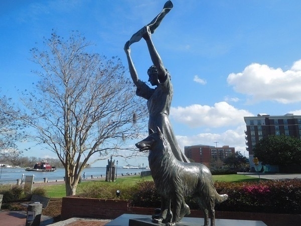
Tribute to Florence Martus, a Savannahian who is perhaps better known in worldwide maritime communities than in her own. From 1887 to 1931, she greeted ships entering Savannah by waving a cloth at approaching ships from the lighthouse on Cockspur Island, in search of her long lost lover. Her fame spread and ships would return her greetings with a blast from the ship's horn. Many still sound a salute to her statue.
Rainbow Row
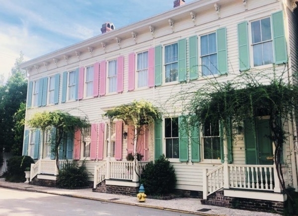
Rainbow Row is a collection of charming Carpenter Italianate-style row homes. Each unit features Victorian era details and has its own color scheme that embodies the feel of Savannah and its architecture.
Old Town Trolley Tour
Skidaway State Park
We are staying at Skidaway State Park. The park offers big private lots, beautiful oak trees with Spanish Moss
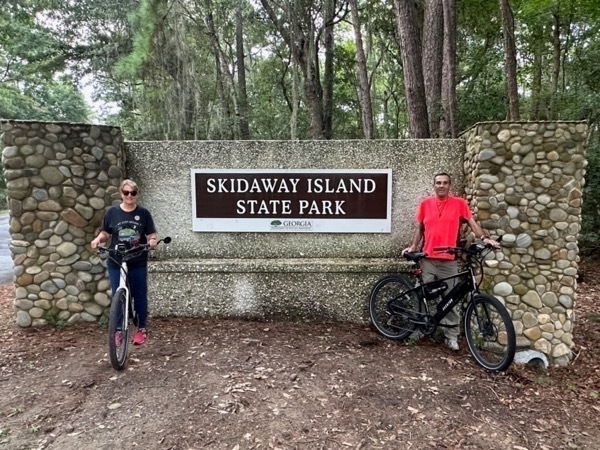
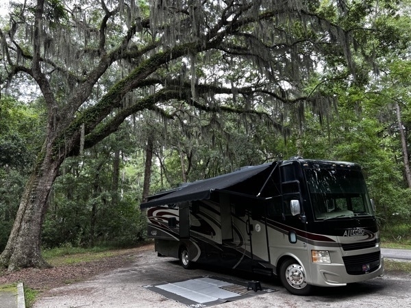
There are bcycle trails within the park and ever better ones right outside the park. We bicycle about 5 miles each day. Cost of staying here was $30 a night.
-
Crosswinds Campground, Jordan Lake State Park, Apex, NC
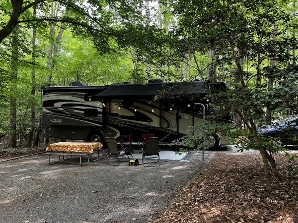
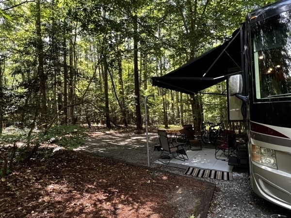
We spent three nights at this beautiful campground (space B5) and it only cost us $30 a night. This was an especially nice campground with very large spaces. We had a long private driveway and were totally surrounded by trees. Probably the best public campground we’ve ever visited.
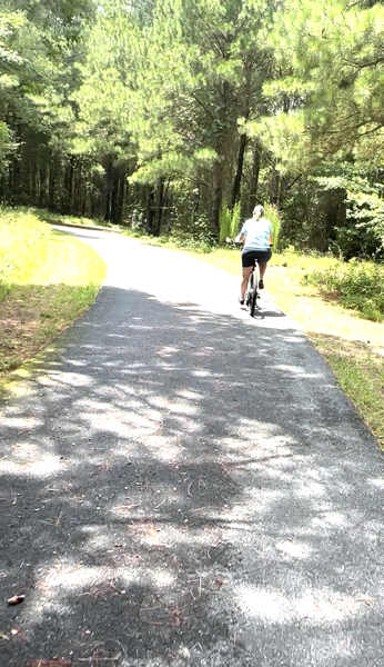
We enjoyed roiding our bicycles around the campground.
The campground was near our friends in Cary, NC which made it easy for us to visit back and forth.
-
Wright Brothers National Memorial
Wright Brothers National Memorial
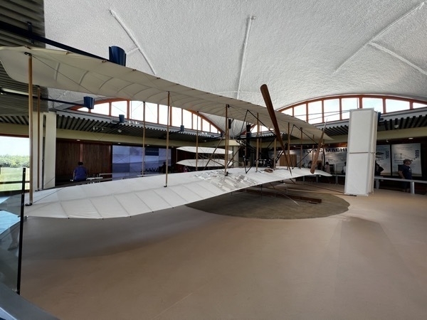
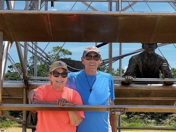
A full-sized, accurate reproduction of the 1903 Flyer. The original 1903 Flyer is on display at the National Air and Space Museum in Washington, DC. Wings: 40 feet,4 inches long; 510 square feet Weight: 605 pounds
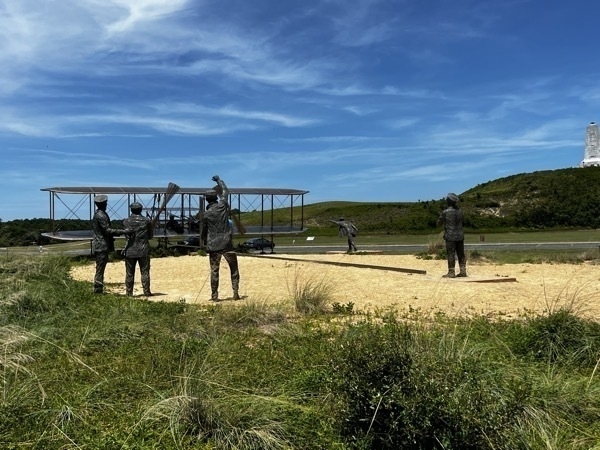
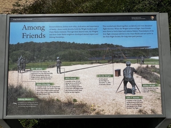
The first successful flight of an airplane was made from this spot by Orville Wright December 17, 1903. Just as Orville left the ground, John Daniels, a member of the lifesaving station, snapped the shutter on a preset camera, capturing the iconic image of the airborne aircraft with Wilbur running alongside.He kept it aloft until it hit the sand about 120 feet from the rail. Into the 27-mph wind, the groundspeed had been 6.8 mph, for a total airspeed of 34 mph. The flight lasted only 12 seconds, and the distance covered was less than the total length of a modern passenger airliner.
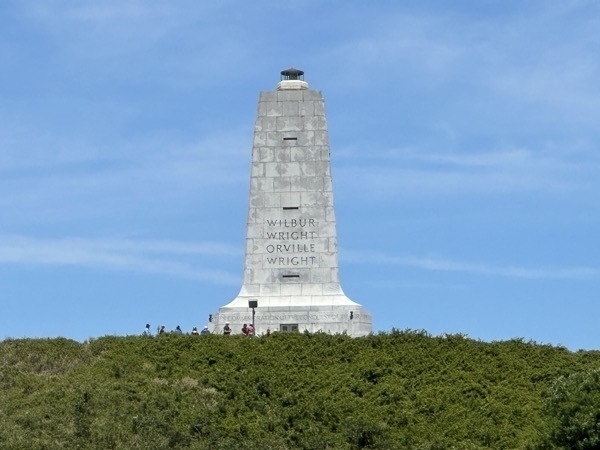
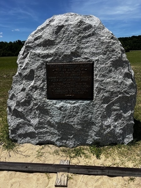
This marker marks the spot where the flights took off.
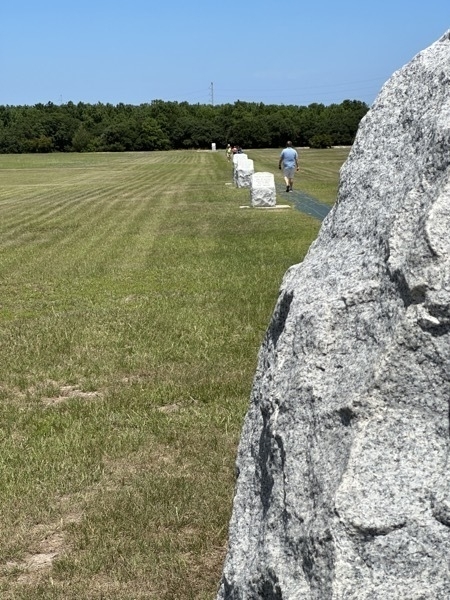
The brothers took turns flying three more times that day, getting a feel for the controls and increasing their distance with each flight. Wilbur’s second flight - the fourth and last of the day – was an impressive 852 feet in 59 seconds. These white markers mark the distance of the first, second, third and fourth flights.
-
Lost Colony of Roanoke and Cape Hatteras National Seashore
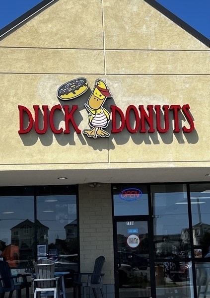
We started today visiting the famous DUCK DONUTS which is along the Outer Banks. All the donuts are cake donuts, but there is a wide array of flavors for toppings. I tried vanilla and Tom had chocolate. How adventuresome is that???
Lost Colony of Roanoke
The Lost Colony was an English settlement established on Roanoke Island in present-day North Carolina in the late 16th century. It holds the distinction of being one of the oldest English colonies in the New World.
In 1585, Sir Walter Raleigh sponsored the first expedition to Roanoke Island, led by Ralph Lane. However, the mission faced numerous challenges, including scarce resources and conflicts with local Native American tribes. Ultimately, they decided to return to England after a year.
In 1587, a second expedition was organized, this time led by John White. Around 120 settlers, including women and children, arrived at Roanoke Island with the intention to establish a permanent colony. This group was the first English attempt at colonizing families in the New World.
Soon after their arrival, tensions with the Native American tribes escalated. John White, sensing the potential threat, decided to return to England to gather more supplies for the colony. Due to the outbreak of the Anglo-Spanish War, it took him three years to secure a ship and make his way back to Roanoke.
When John White finally returned in August 1590, he found the colony abandoned with no traces of the settlers, except for the word "Croatoan" carved on a post and "Cro" carved on a nearby tree. This led to the mystery that still surrounds the fate of the Roanoke Colony and its settlers.
To this day, the fate of the Lost Colony remains unknown. Various theories suggest that the settlers may have been assimilated into local Native American tribes, faced hostile encounters, or perished due to disease or famine. Despite numerous efforts and expeditions, the mystery of the Roanoke Lost Colony continues to captivate historians and researchers.
Virginia Dare was the first child born in the New World, but like the other settlers, no trace of her exists.
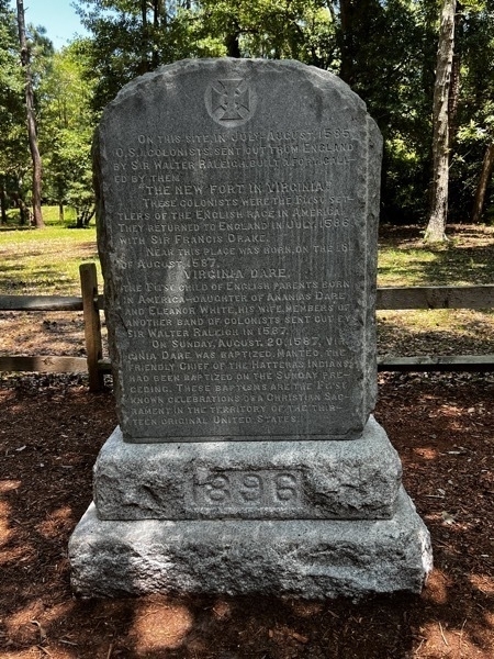
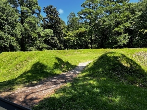
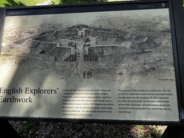
European expeditions in the late 1500s commonly constructed small defensive structures. Soldiers built these earthworks by digging ditches and then forming walls from the removed soil. Ralph Lane, a fortifications expert, led the 1585 English expedition.
The purpose of this earthwork is unknown. its small size would not have provided nearly enough space for the numbers of 1585 explorers, let alone the more than one hundred settlers that arrived two years later. Documentation shows the settlers lived in a palisaded fort, which has not yet been found.
Cape Hatteras National Seashore
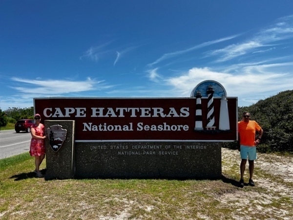
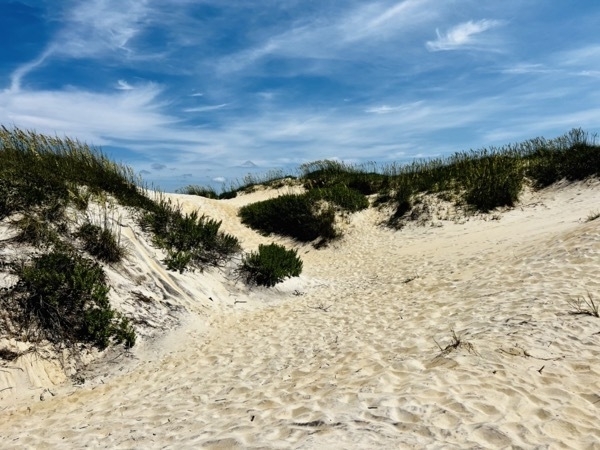
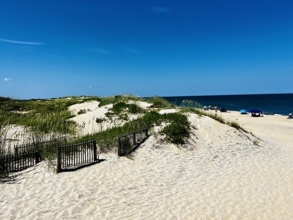
We briefly walked along the sand (which was VERY hot) and got into the water which was COLD. Now I sound like Goldilocks ...
Bodie Lighthouse
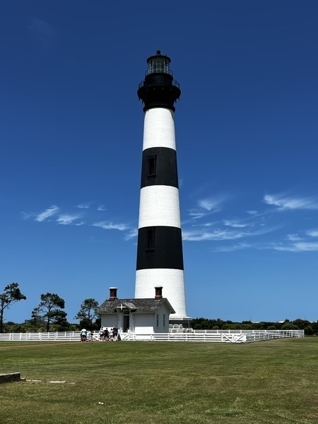
This is the third lighthouse to stand near this property between Roanoke Island and Nags Head. It was built in 1872.
-
Corolla, NC (Outer Banks) Colonial Spanish Mustangs
We drove 150 miles from Williamsburg to the OBX Campground on the Outer banks where we stayed for three nights. Once we parked and unhooked the car, we drove to Corolla where we had a tour with Corolla Wildlife Adventures booked.
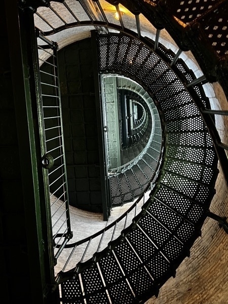
Before taking the adventure tour, we stopped at the Currituck Beach Lighthouse. t is one of the only lighthouses in America that still houses its original first-order Fresnel lens. The light continues to flash today at 20-second intervals, serving as a navigational aid. The beacon, which can be seen for 18 nautical miles, comes on at dusk and ceases at dawn.
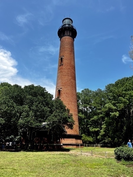
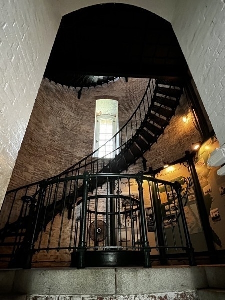
Since we were short on time before our tour, we did not climb the 220 stairs to the top, but it was a nice view looking up the stairway.
Corolla Wildlife Adventures
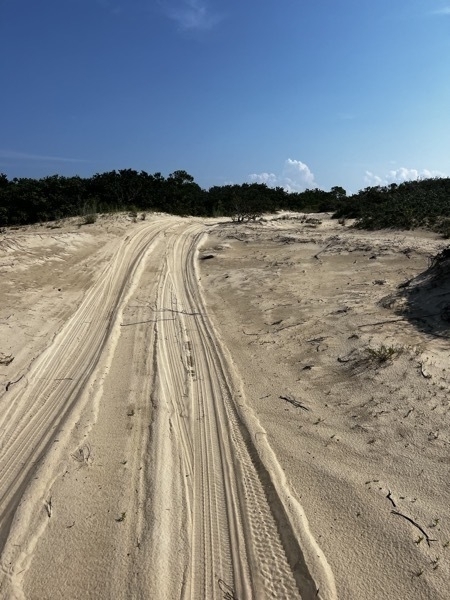
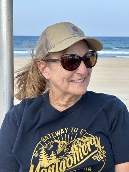
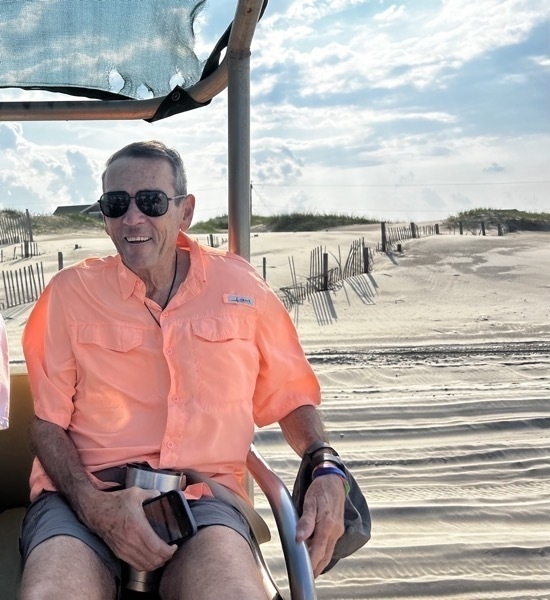
We joined eight others for a 4×4 off-road vehicle ride onto the pristine northern beaches from Corolla with our knowledgeable tour guide Jay to see the wild Colonial Spanish Mustangs. Through devastating hurricanes, swarms of biting flies and mosquitos, and the constant pressure from developing the islands into prime beach vacation property, these horses, and the people they share the islands with have found a way to live together in a most uncommon accord.
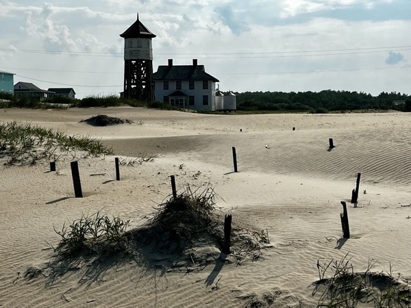
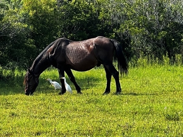
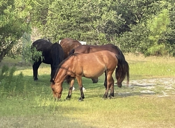
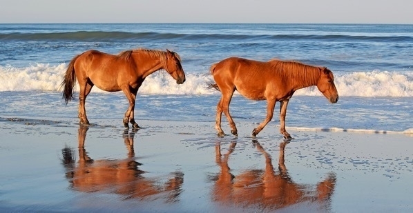
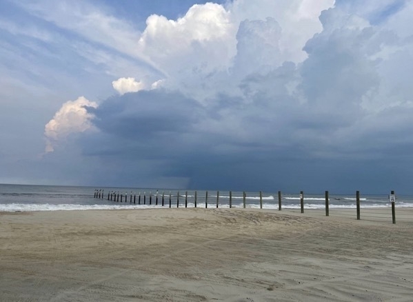
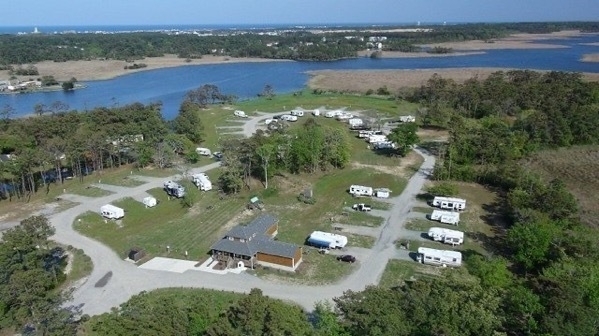
OBX Campground was $210 for three nights.
-
Assateague Island National Seashore
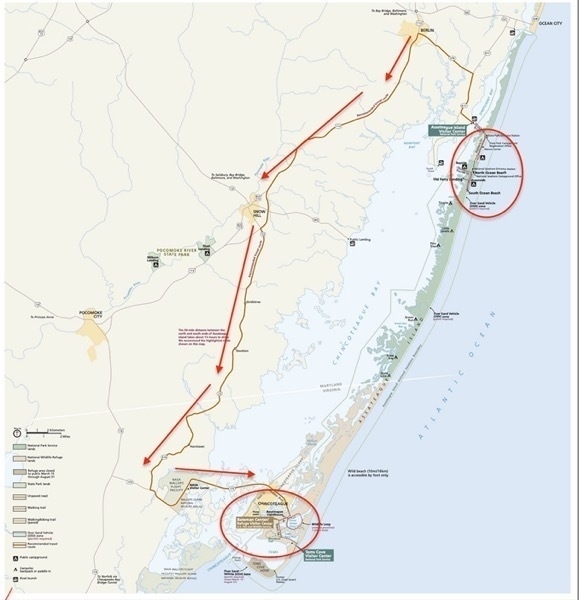
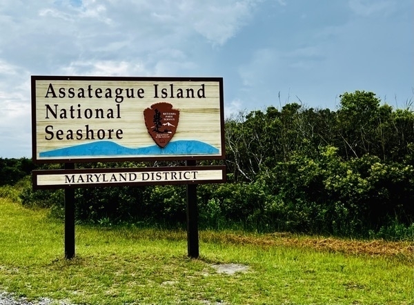
It was pouring down rain when we left the Homestead Campground in Georgetown, DE to drive to Assateague National Seashore which is a barrier island off the coast of Virginia and Maryland. The island is 37 miles long and can be accessed by car from the top and the bottom, but there is no road to drive a car all the way through.
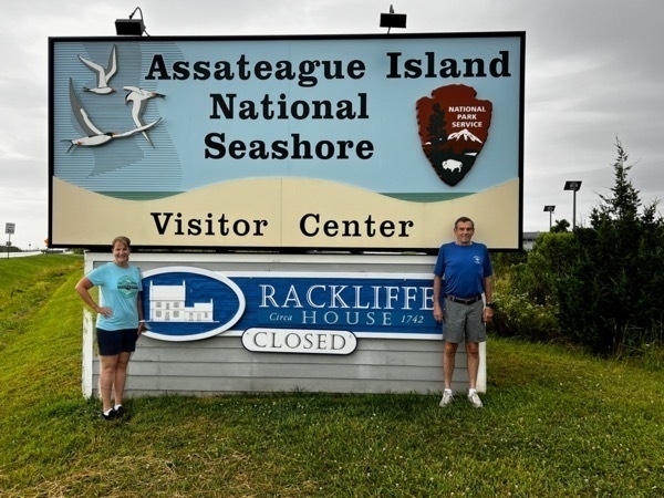
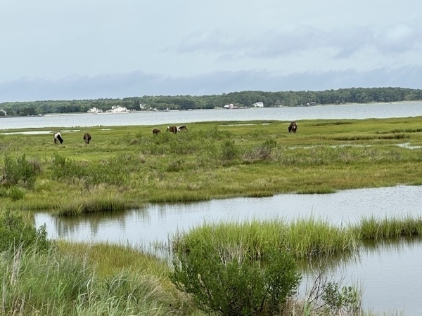
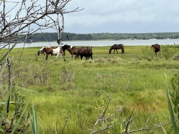
We entered the park near the top at the Maryland Entrance which is where the free roaming horses are located. We stopped at the Visitor Center before we crossed the Bay into the park and watched an interesting film where we learned that the horses are not fed by the NP at all, but rather survive on the salty grasses, poison ivy and tree bark and drink water from ponds on the island all day long.
 About a mile after driving into the Maryland side of the road, we started seeing the horses on the side of the road, walking down the road, standing in the middle of the road, etc. It was so cool!
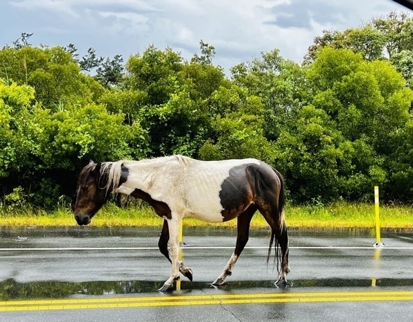
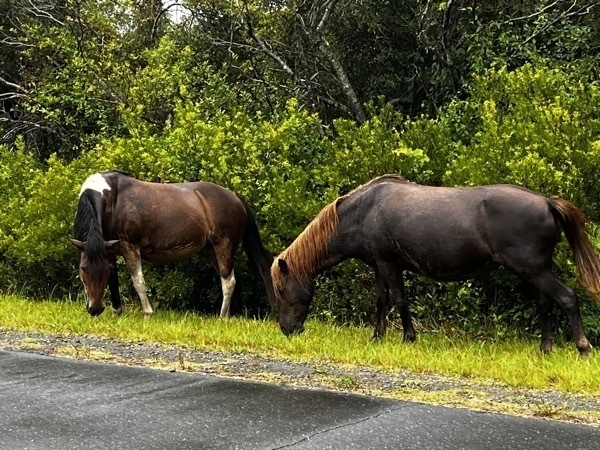
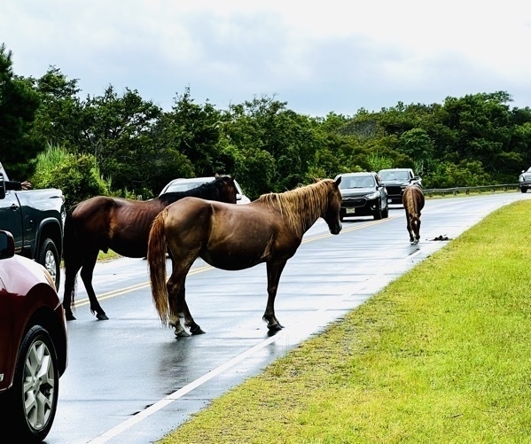
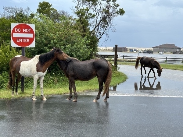
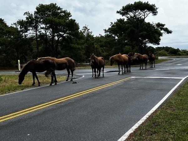
The road only goes 5.5 miles into the park, so we parked the car and walked out to the beach to see the water and the sea grass.
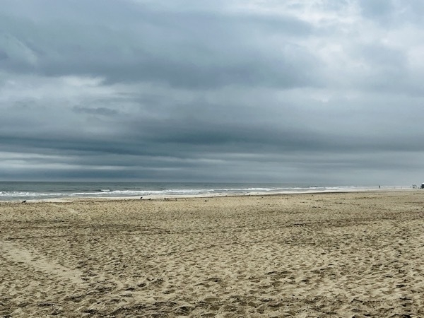
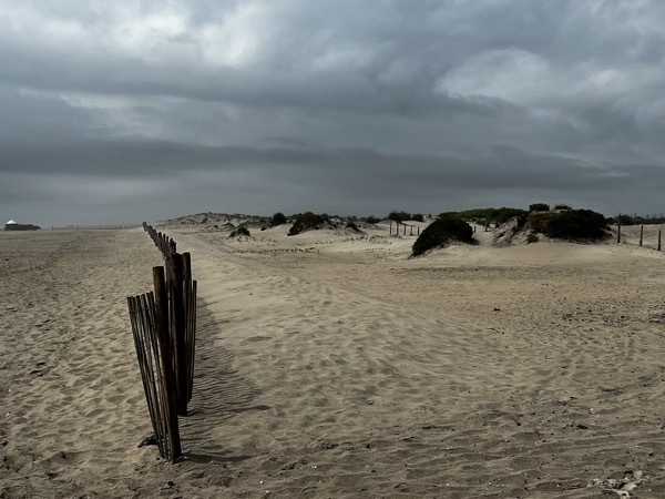
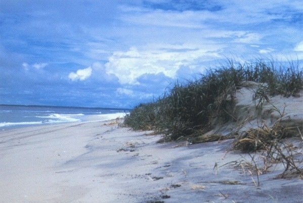
This beautiful picture is from the National Park’s website. We definitely did not have those beautiful skies. On the way back to the Visitor Center to go down to Chincoteague, we saw a few more horses.
Chincoteague National Wildlife Refuge
We were so impressed by all the horses we saw at the Maryland side of the island, we decided to drive down to Chincoteague. To get there we had to drive back out of the park and drive 54 miles down to the Virginia Entrance.
We didn’t see any free roaming horses after all that driving. At Chincoteague all the horses are behind fences—even through the fields were very large. We didn’t see any horses up close there. There was a 1.7 mile loop called Woodland Trail where we thought we’d see some horses, so we decided to ride it on our bicycles.
..
Tom was able to get this picture on his tip toes, but I couldn’t see over the weeds to see the horses.
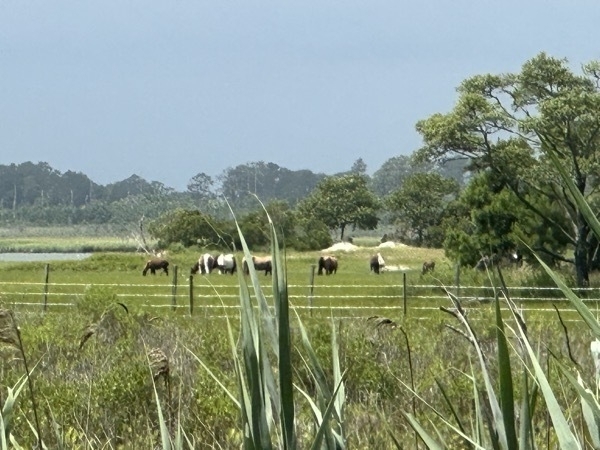
Definitely NOT worth the 1.25 hour drive to get down to Chincoteague! The horses were far away, behind tall grass and and behind a fence.
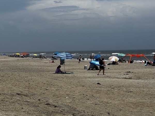
There was 1.25 miles of lifeguarded beach at Chincoteague.
Driving the 78 miles back to the Homestead Campground in Georgetown, DE was a long one as we got caught in one of those blinding rainstorms where it’s hard to see the car in front.
-
New York City
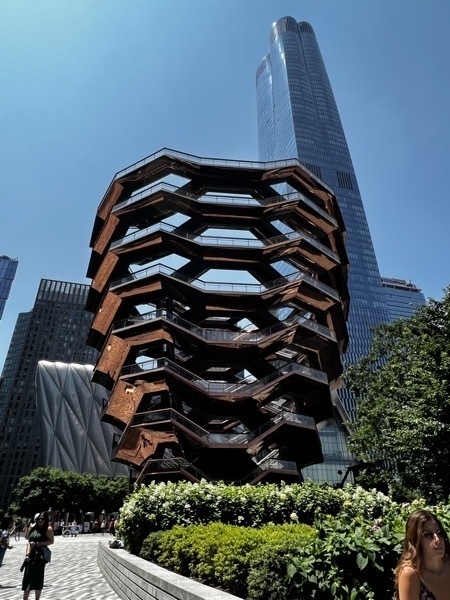
We drove into Queen , parked at our hotel and took the Metro from the Briarwood Station to the World Trade Center. We walked to see the Vessel, a 16-story, 150-foot-tall structure of connected staircases among the buildings of Hudson Yards, Vessel has 154 flights, 2,500 steps, and 80 landings,with the total length of the stairs exceeding 1 mile. The copper-clad steps, arranged like a jungle gym can hold 1,000 people at a time.
It opened to the public on March 15, 2019. In January 2021, following three suicides at the Vessel, it was indefinitely closed to the public. The Vessel reopened in May 2021, then indefinitely closed again after another suicide two months later. Unfortunately, it is still closed and we were only able to walk up one set of stairs.
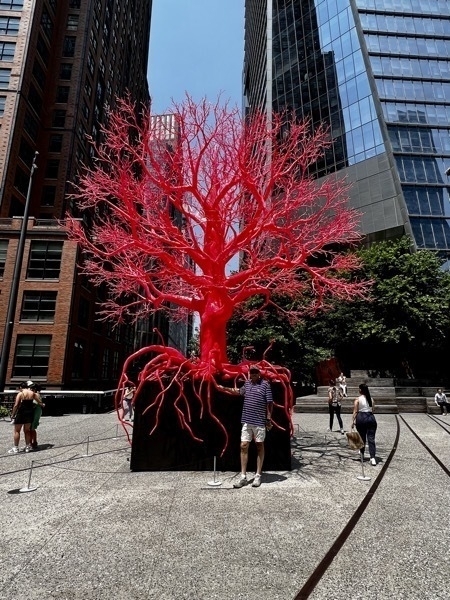
High Line
The High Line is a 1.45-mile-long elevated linear park, greenway and rail trail created on a former New York Central Railroad spur on the west side of Manhattan.
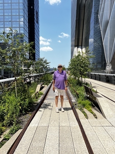
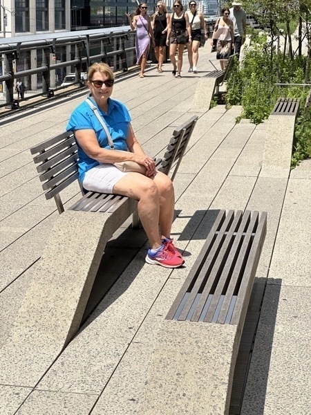

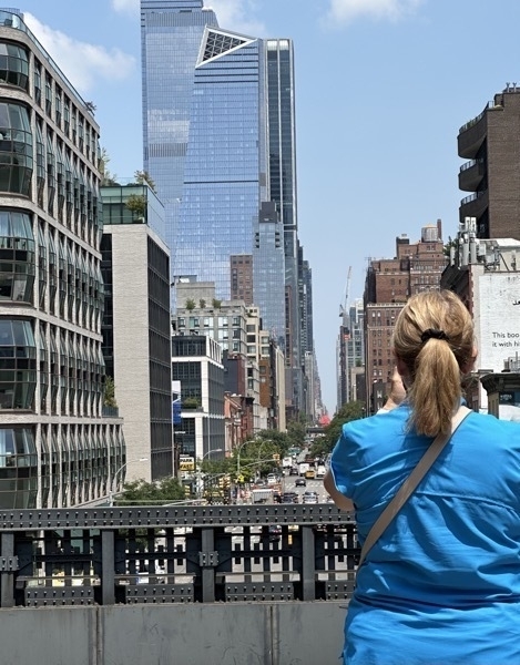
We ate lunch at Chelsea Square Market before walking to the World Trade Center. We had hoped to visit the 9-11 Museum, but the museum is closed on Mondays.
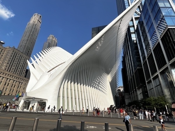
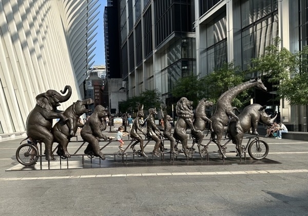
There was an Apple Store in the WTC so I stopped to see if I could get a new cell phone battery installed. The store didn’t have a battery for my model, but the Apple Store at SOHO had one in stock so I made an appointment for Tuesday morning to get it installed.
We walked to the Metro and rode back to our hotel in Queens . We stayed at Best Western which had free parking. The subway ride to the World Trade Center was $2.75. We walked 8.5 miles and were absolutely exhauster when we got back to the hotel.
-
Washington's Crossing, Grounds for Sculpture, Princeton University
We started the day by driving to Washington’s Crossing Visitor Center where we watched a video of the Revolutionary War and walked to the site where Washington crossed the Delaware.
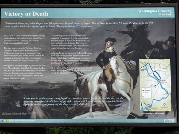
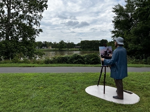 This sculpture by Seward Johnson is located at the site where Washington and his men crossed the Delaware River.
Grounds for Sculpture
A sculpture park and museum located in Hamilton, New Jersey. It is located on the former site of Trenton Speedway and was founded in 1992 by sculptor John Seward Johnson.
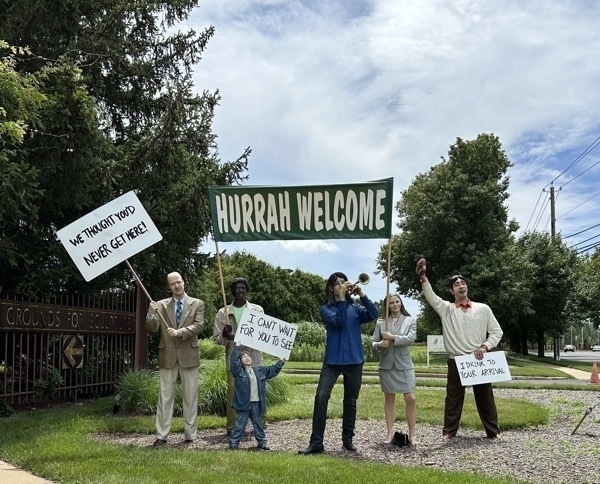
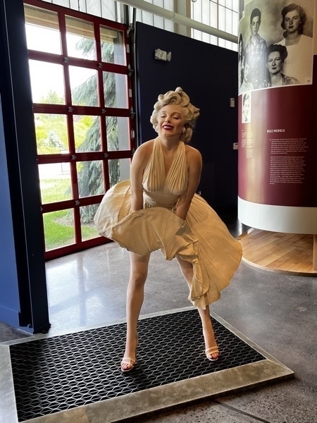
Forever Marilyn
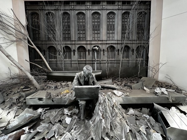
SEWARD JOHNSON
Shortlv after the terrorist attacks of September 11. 2001. Seward Johnson brought his sculpture Double Check from Ground Zero back to the Johnson Atelier. The bronze sculpture had been lifted from the rubble in the aftermath and set up among the wreckage as a makeshift memorial. The grief stricken citizens of New York and others who were missing loved ones atxed mementos to the sculpture, placing candles, flowers, and other obiects on and around the figure. Seward was deeply moved as he read the notes and studied the photographs and personal articles of the first responders who had been killed. He knew its significance had changed torever.
To honor the nearl 3.000 people who died, Seward decided to add permanently the commemorative obiects left on and around the sculoture. He carefully photographed their positioning, reproduced them in bronze, and welded them onto a casting of the original Double Check sculpture. He named the new scupture Makeshift Memorial and. on the plaque, gave credit to all inadvertently collaborated on tne sculptures final form.The reinvented work was ceremoniously installed on New Jersey’s Hudson River Waterfront Walkwavy. which overlooks lower Manhattan and the former site of the World Trade Center.
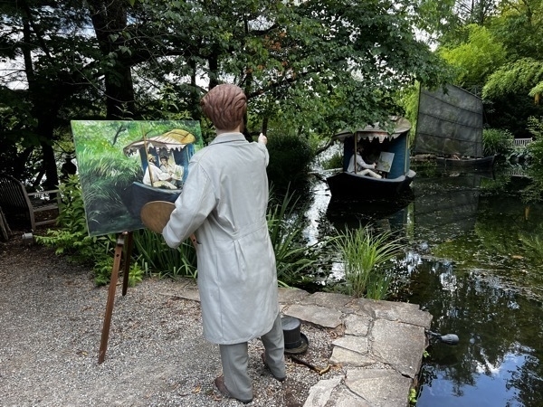
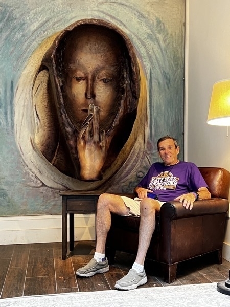
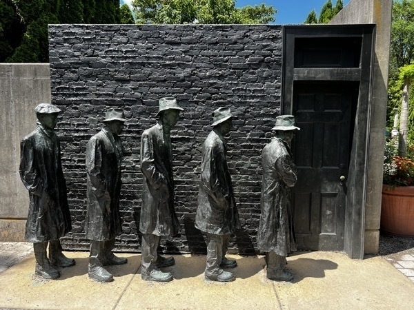
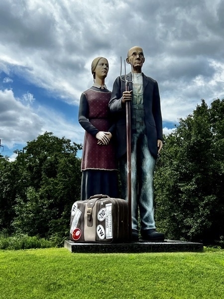 CAST BRONZE
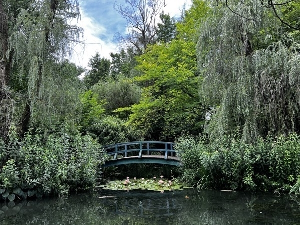
Rat's Restaurant is located on the grounds, and was conceptually designed by Seward Johnson with an Impressionist Claude Monet-styled atmosphere. The scenery surrounding the restaurant features Johnson's own impressionist-inspired sculptures, including a bridge over a lily pond which is an homage to Monet's painting Water Lilies and Japanese Bridge
Princeton University
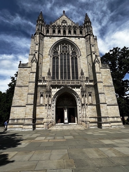
We drove to the University and walked around campus and through the Chapel.
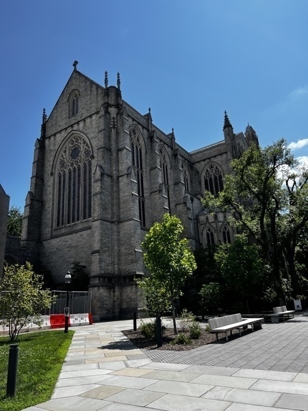
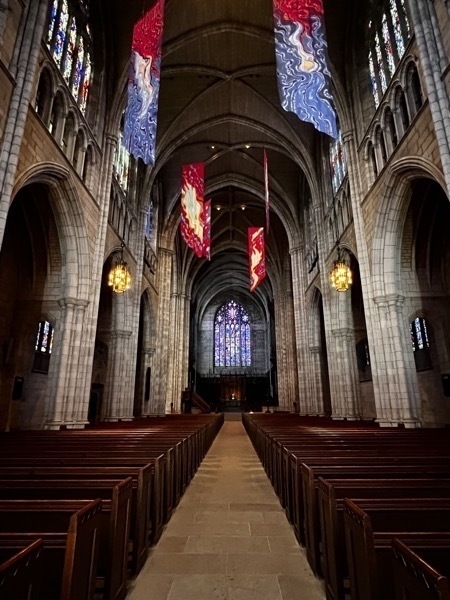
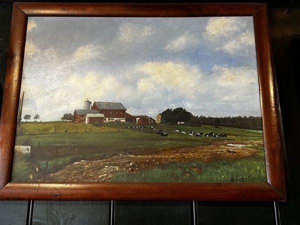
We ended the day with an ice cream cone at the Halo Pub which had an original oil painting to the Copeland Farm where we are staying.
-
Stockton, NJ, D&R Canal Bike Path
July 8
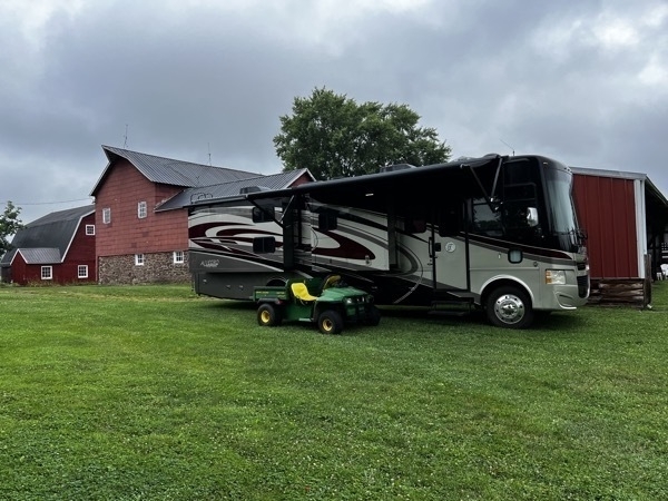
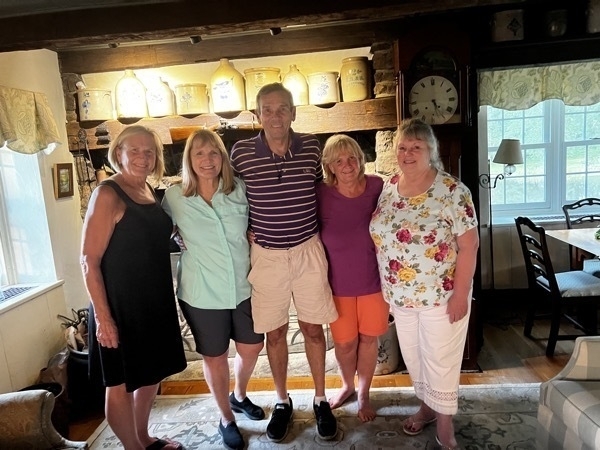
We arrived at our friend’s home in Stockton, NJ where we will be staying for the next five nights. She invited two of our friends from the Africa trip to her home for dinner which was delightful.
July 9
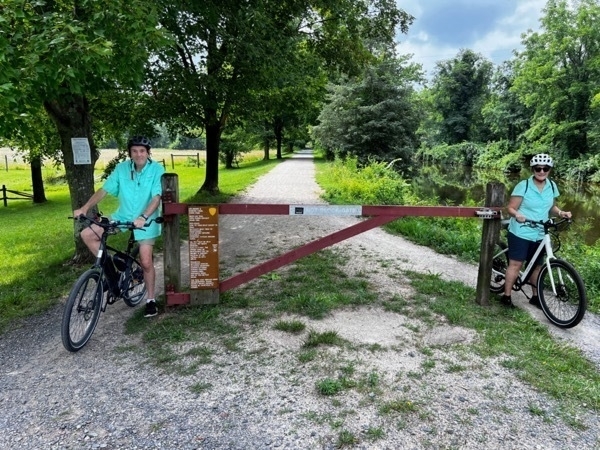
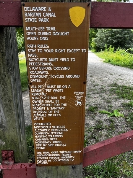
We biicycled 8 miles on the Delaware & Raritan Canal bike trail from Stockton , NJ to Lambertville and back—8.5 miles.
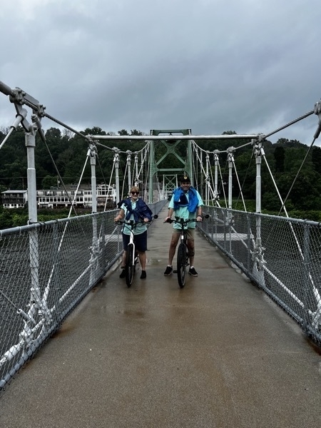
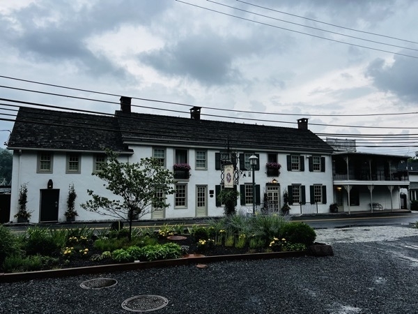
✔️ We drove to the Delaware Pedestrian Bridge and walked our bikes across the bridge to eat. lunch at the Black Bass Hotel, built in 1745.
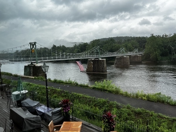
We ate lunch at the historic Black Bass Hotel & Inn which overlooks the Delaware River.
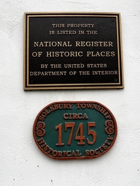
✔️Rained the rest of the day.
-
PA State Capitol and Amish Contry in Intercourse, PA
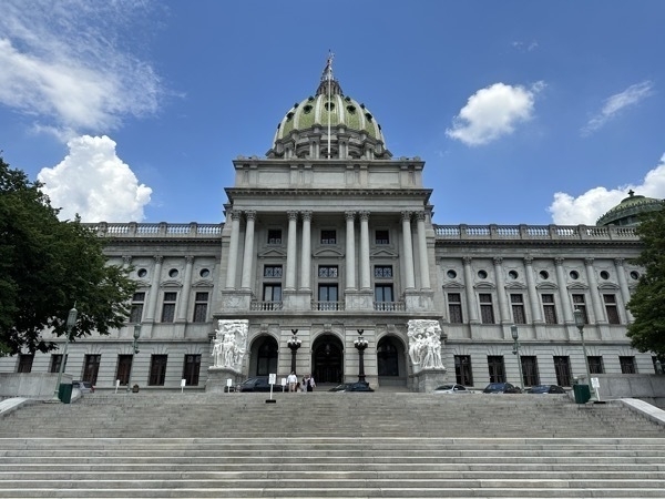
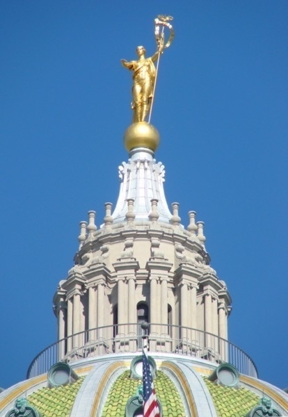
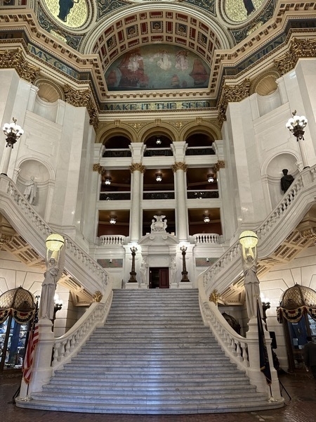
We left Bedford this morning and drove into Harrisburg to tour the Pennsylvania Capitol Building. We had a very knowledgeable guide and happened to be mixed with a group of 25 very well behaved 6-9 year olds from a YMCA summer camp.
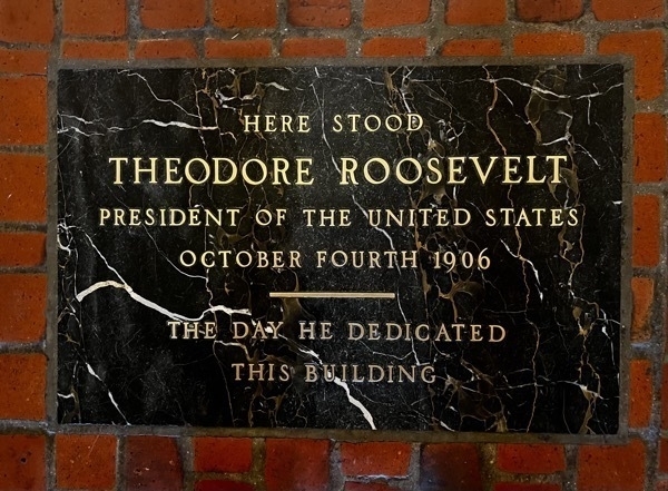
The building was designed in 1902 by Joseph Miller Huston and completed in 1906. President Theodore Roosevelt attended the building's dedication in 1906. After its completion, the capitol project was the subject of a graft scandal. The construction and subsequent furnishing cost three times more than the General Assembly had appropriated for the design and construction; architect Joseph Huston and four others were convicted of graft for price gouging.
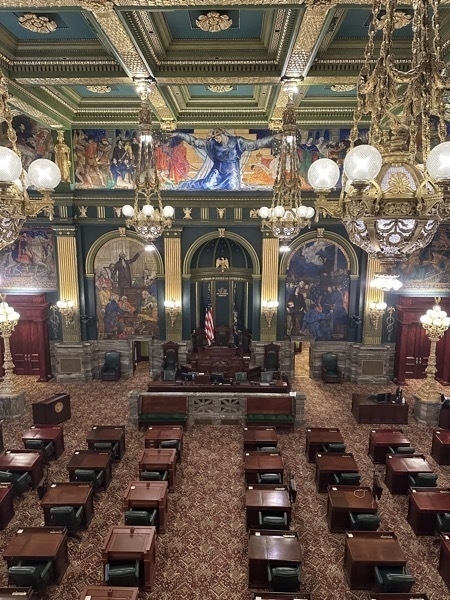
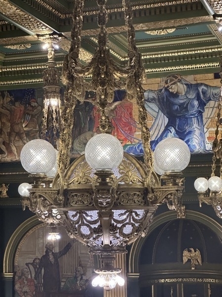
The chandeliers in the Senate Chamber weigh over 3,000 pounds each. See the “X” in the light bulbs? Originally the highest watt bulb was 25. To give off more light, the glass was multi faceted to make the lights brighter. The facets cause the light from the bulb to form and “X."
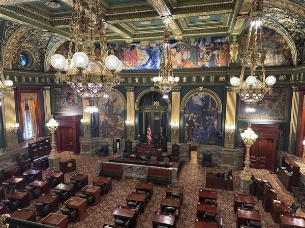
The Senate Chambers is filled with artwork on every wall.
Harrisburg to York to the Haines Shoe House
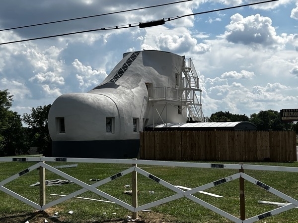
After seeing the Coffee Pot building in Bedford, we wanted to see the Haines shoe shoe, so we drove to York to take a look at it and were disappointed. First of all we drove about 30 miles out of our way. When we got there, there was nowhere to park, or pull over, so I had to take a picture while driving by. It is obviously been worked on and is currently listed on ABNB for rent.
 r
rIntercourse, PA.
I’m sure the townspeople have heard the tourist comment on what a strange name that is for a town. Nevertheless, I took Tom’s picture by the sign.
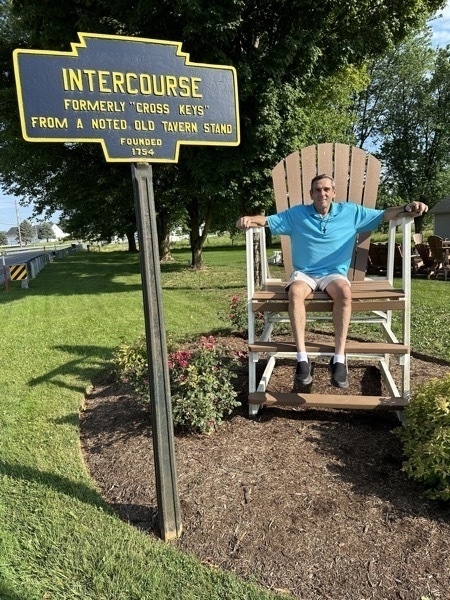
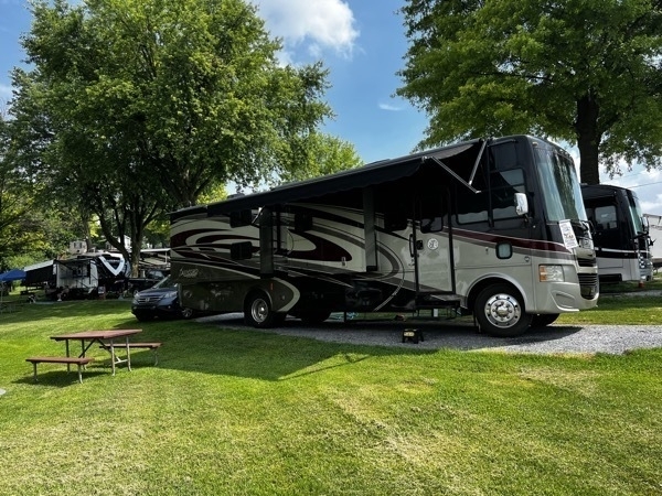
We are standing at the Beacon Hill Campground for two nights across the street from this sign.
We watch a production called “Jacob’s Choice: about Jacob choosing —or not choosing to become Amish.
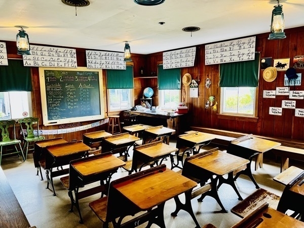
We then toured a one room Amish Schoolhouse where 1st through 8 grades are taught in the same classroom. Amish children start school only speaking in their native German language, but by Chrstmas of first grade the children know ho to speak English.
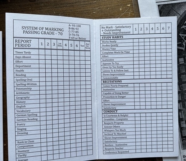
Their report cards are much more detailed that our school kids.
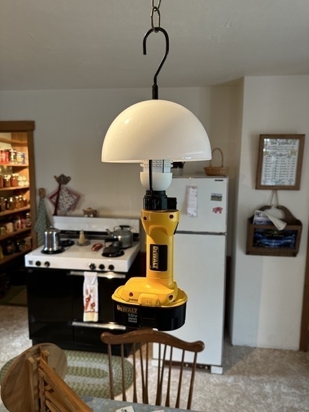
Next, we toured an Amish home. Although I didn’t take any pictures, the tour was very interesting. The refrigerator and stove are run by propane. The lights are run by the equivalent of a car battery. Many of the homes have solar panels to great electricity. They don’t use curtains in the windows. The use green pull down shades.
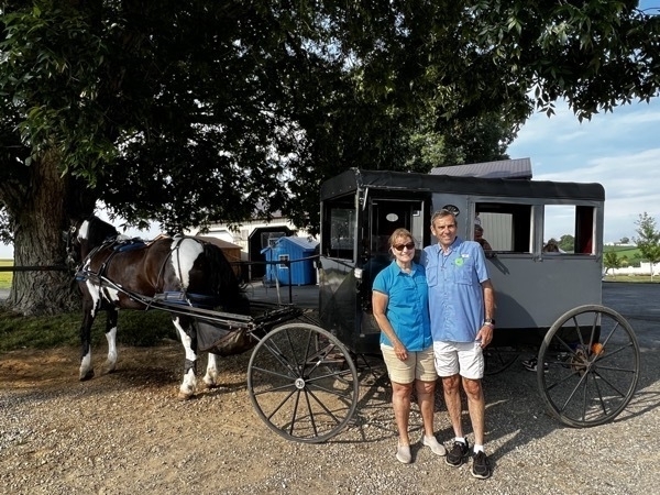
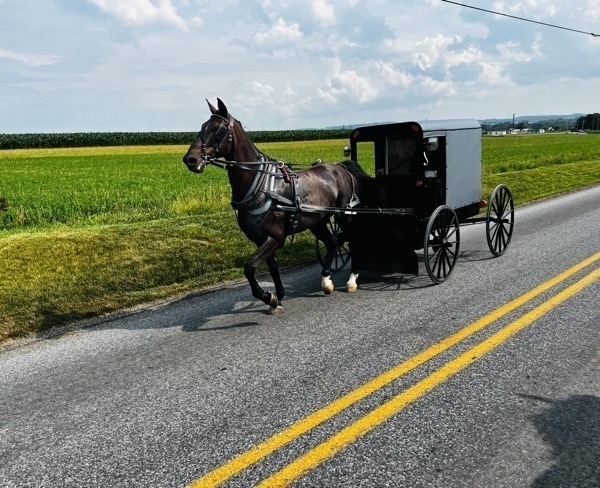
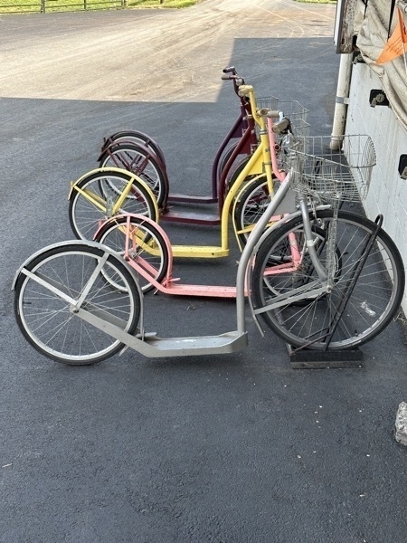
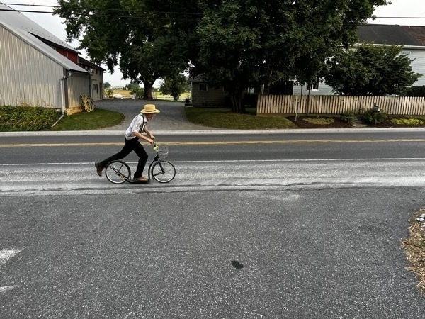
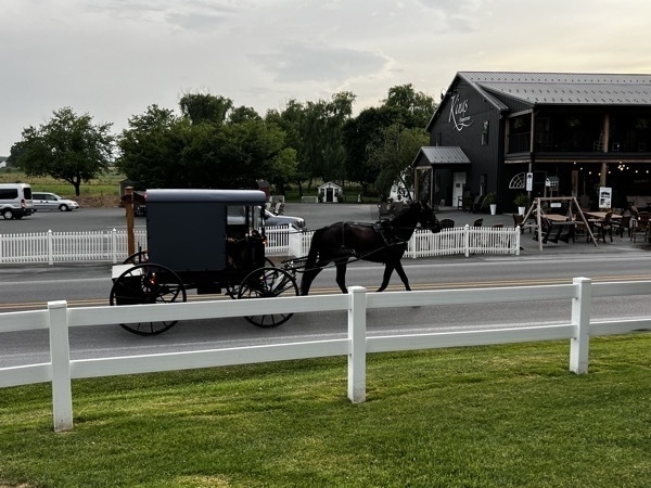
Transportation is either by horse and buggy or scooter.We took a tour by horse and buggy and saw a few scooters park along a barn that we toured.
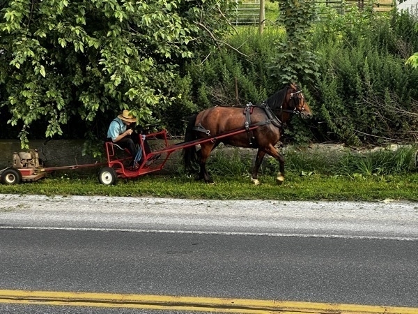
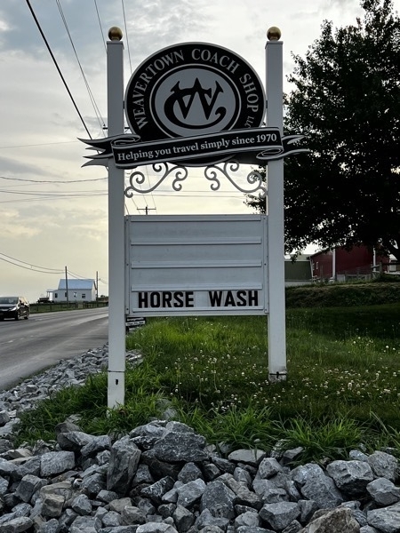
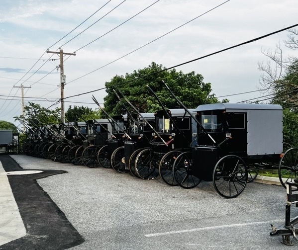
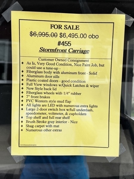
A business that sales used cats
-
Bedford County, PA Covered Bridges
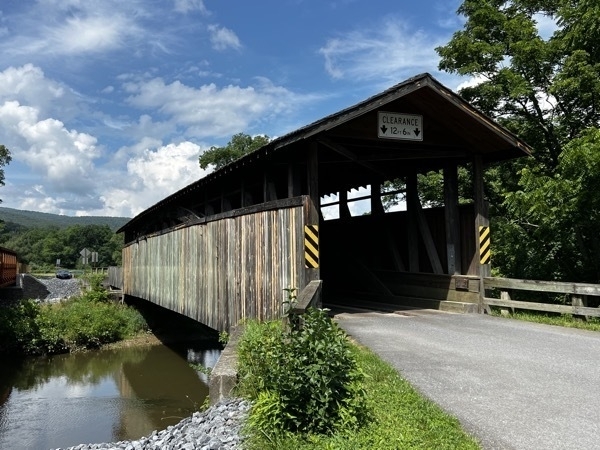
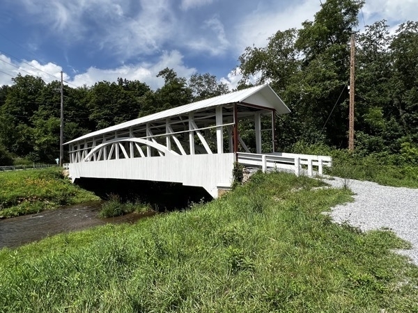
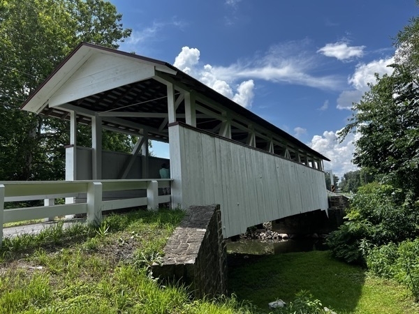
We spent about two hours driving to some of the covered bridges in Bedford County. We followed a circular route that allowed us to see nine of them. Most of the bridges were built around the 1880s. Some are still in use and some are now only foot bridges
.
Claycomb Bridge
Turner Bridge
Snooks Bridge
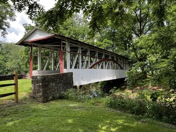
Kingsley Bridge
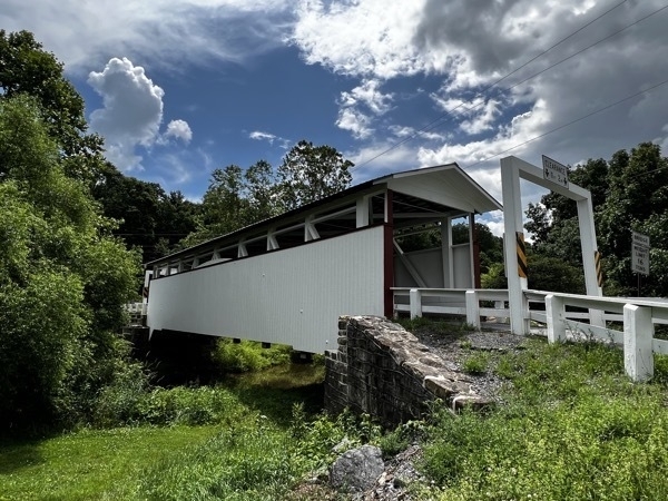
Royt Bridge
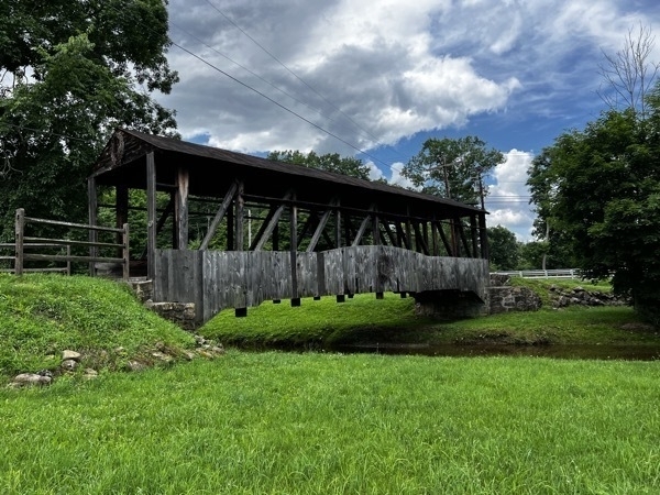
Cuppets Bridge
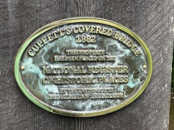
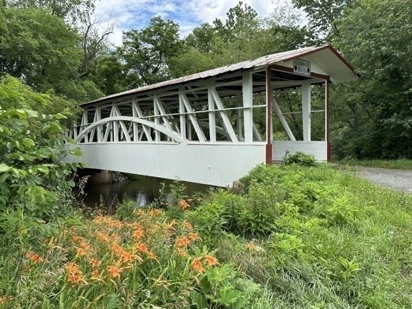
Turner Bridge
The National Museum of the American Coverlet
The Museum opened in Bedford, Pennsylvania’s historic (1859) former Common School building in May of 2006. Since then, it has welcomed visitors from around the world.
NMAC offers changing exhibitions of 80 to 100 coverlets at a time, along with early spinning wheels, barn frame looms and more.
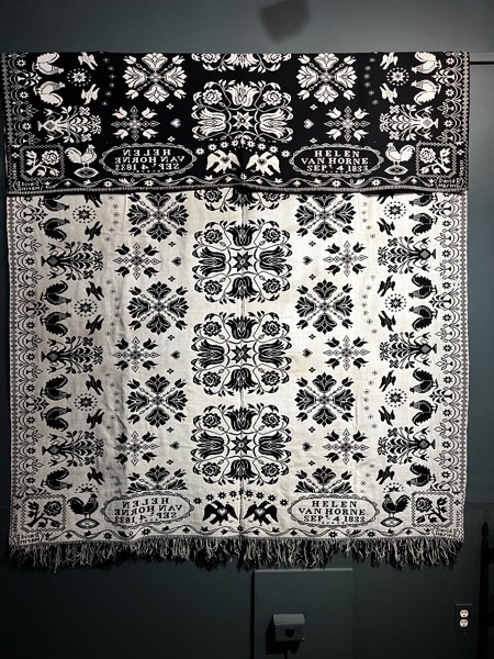
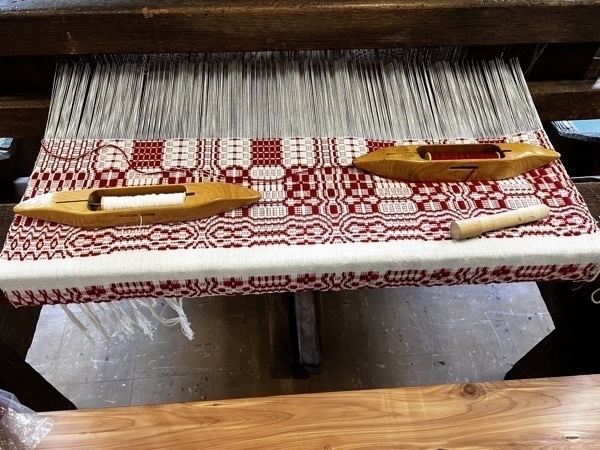
What is a coverlet? It is a decorative, woven bedcovering. Coverlets were usually woven from a combination of linen or cotton and wool. They can be broadly divided into two categories based on design and loom type: geometric, and Figured and Fancy. These textiles were at their height of popularity in America from the 1750s through the 1870s.
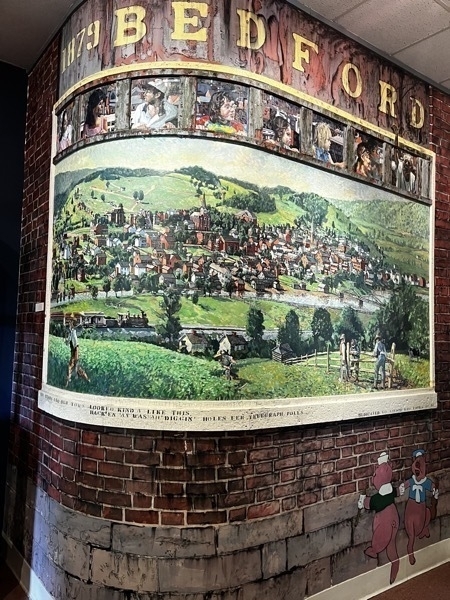
The hand painted scene at the entrance of the museum.
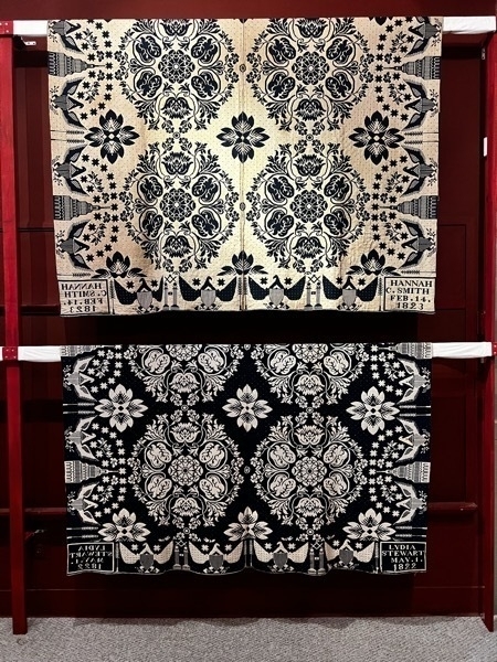
On the bottom right corner of these coverlets, the year made and the person it was made for are woven into the bottom right corner. Tom was woven in 1823 for Hannah Smith. The bottom was woven in 1822 for Lydia Stewart.
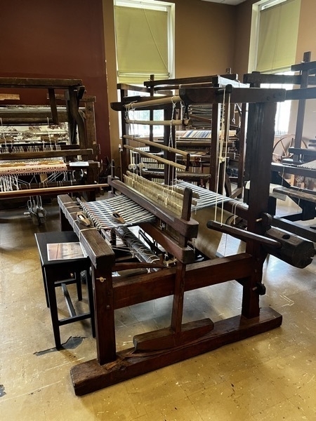
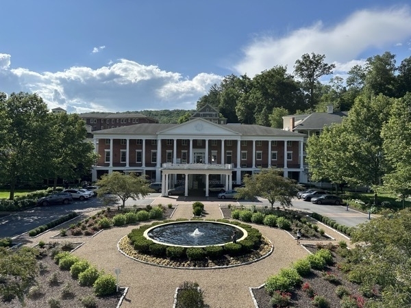
Omni Bedford Springs Resort
Established in 1806, it is one of last and best-preserved of 19th-century resort hotels based around mineral springs. We drove out to see the resort and walked around the hotel and property.
We stayed at the Friendship Campground in Bedford.
-
Flight 93 National Memorial near Shanksville, PA
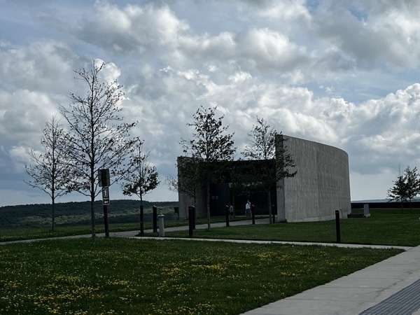
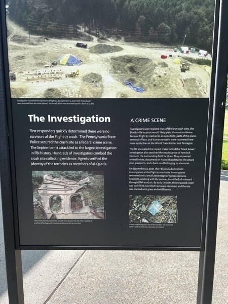
We visited the Flight 93 National Memorial in Shanksville, PA, the nation’s memorial to the passengers and crew of Flight 93. The Visitor Center Complex on the hill above the crash site introduces their story. The Memorial Plaza borders the crash site, which consists of the impact site (marked by a boulder) and debris field. The fields and woods beyond are the final resting place for the passengers and crew; their remains still present.
This was such a moving and meaningful monument. If you ever plan a trip in this direction, please make sure to stop.
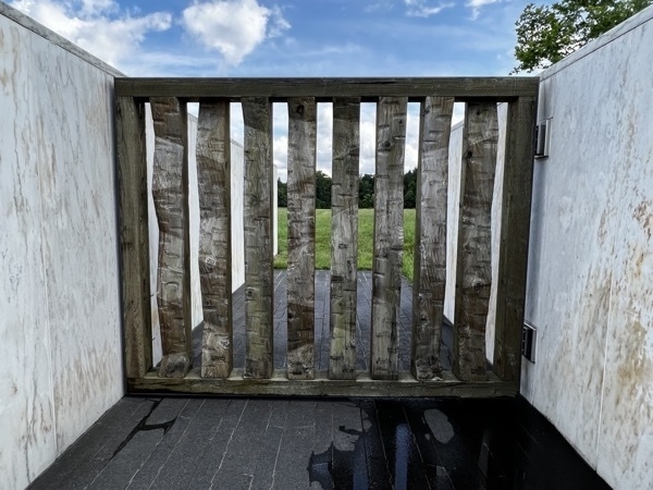
Assembled from hemlock beams, the Ceremonial Gate features 40 cut angles. Beyond the gate, the final piece of granite acknowledges when Flight 93 crashed.
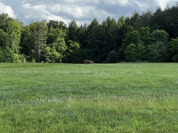
The boulder in the field marks where flight 93 tunneled into the ground at 563 mph.
“A common field one day. A field of honor forever."
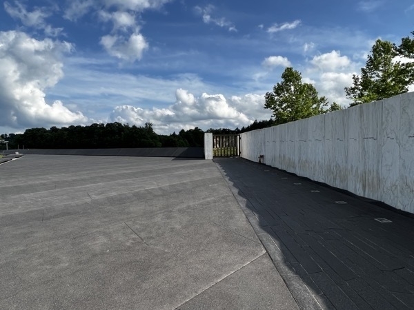
The Wall of Names distiguishes each passenger and crew member. The wall is formed from 40 individual marble panels.
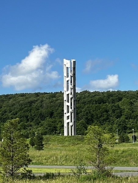
Tower of Voices is a musical tribute with wind chimes.
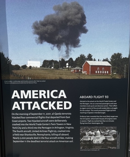
Posters at the Memorial
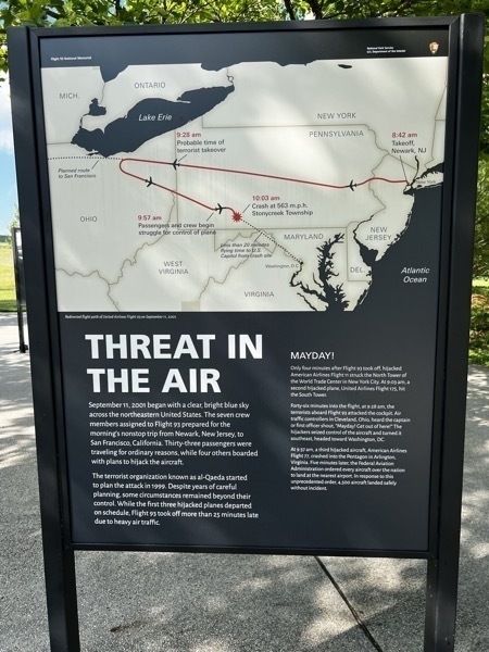
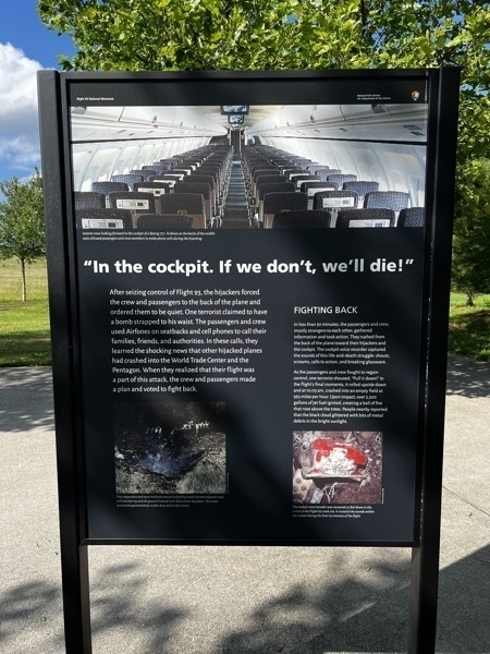
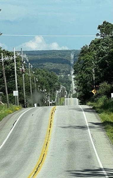
Driving the Lincoln Highway to Bedford, PA
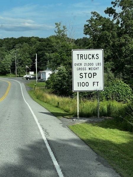
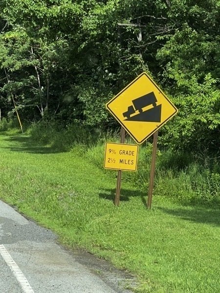
Our motorhome plus car weigh 27,500 empty, so we stopped in 1100 feet to read the next sign.
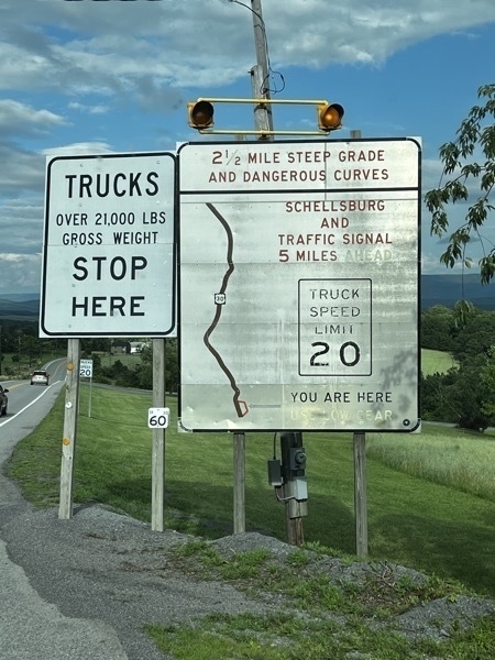
We arrived at the Friendship Village Campground where we are staying for two nights.
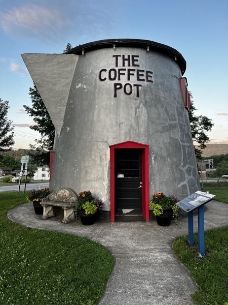
the town of Bedford to see the Coffee Pot. This is from it’s sign:
The increased number of automobiles during the Lincoln Highway era (1912-1940) led to the development of programmatic architecture. Proprietors took daring approaches to appeal to the new motoring public.
All across the country, oversized buildings were being created in the likeness of obiects. Some of the more famous were constructed in Pennsylvania along the Lincoln Highway route - the Coffee Pot, the Ship Hotel, the Shoe House, etc. Many have fallen into disrepair.
In 1927, Bert Koontz designed and quickly erected the Coffee Pot on the west end of Bedford. His intention was to attract visitors to his adjacent gas station. The early restaurant served ice cream, hamburgers and Coca-Cola. In 1937 it was converted to a bar and a hotel was built in the rear. The Coffee Pot became a regular stop for Greyhound bus passengers since the bus depot was next door.
In an effort to save the Coffee Pot, the Lincoln Highway Heritage Corridor moved it to this location and restored it in 2004.
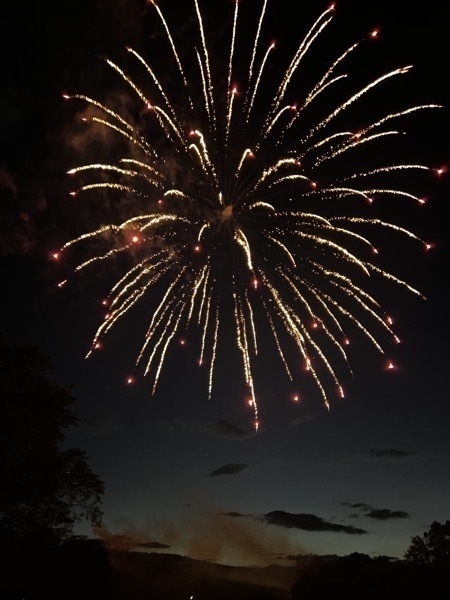
July 4th Celebration in Bedford, PA
-
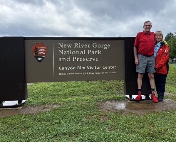
New River Gorge National Park
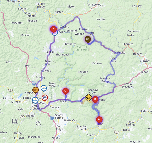
We spent three nights in Fayetteville, WV at the Riftrafters Campground, our springboard for all the sights were wanted to see in the area.
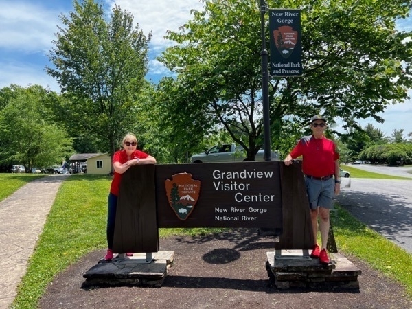
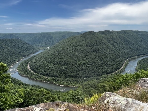
Day 1-We drove to the Grandview Visitor Center and walked to the overlook to see the beautiful horseshoe turn of the New River.
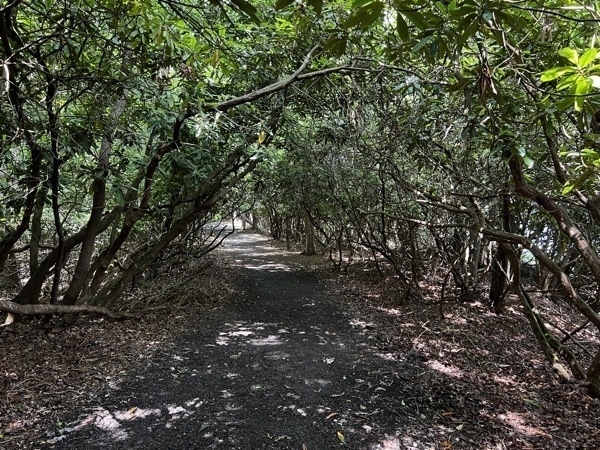
We hiked the Grandview Rim Trail to see the river a few more times before hoping in the road and driving from Grandview to Sandstone Falls.
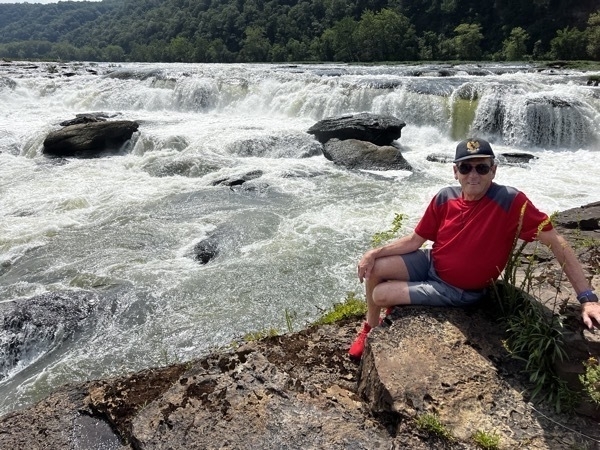
The drive to Sandstone Falls is approximately 30 miles from Grandview, but it took an hour and 30 minutes to get there.The falls were beautiful though and totally worth it.
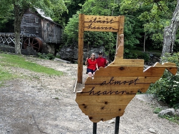
Our last stop was Babcock State Park to see the Grist Mill at Glade Springs.
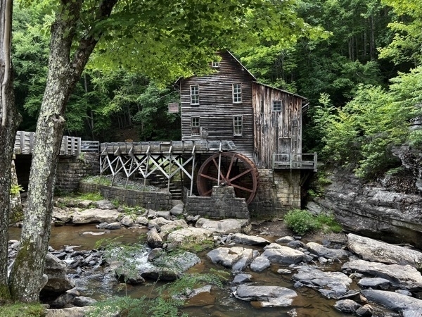
Grist Mill at Glade Springs in Babcock State Park
What a day! We only drive 138 miles, but it took us over eight hours!
Day 2 - We drove to the New River Bridge Visitor Center and then walked out to the bridge overlook. When we were arrived, the entire gorge was totally fogged in. After we spent 30 minutes inside the visitors center, the fog was started to lift.
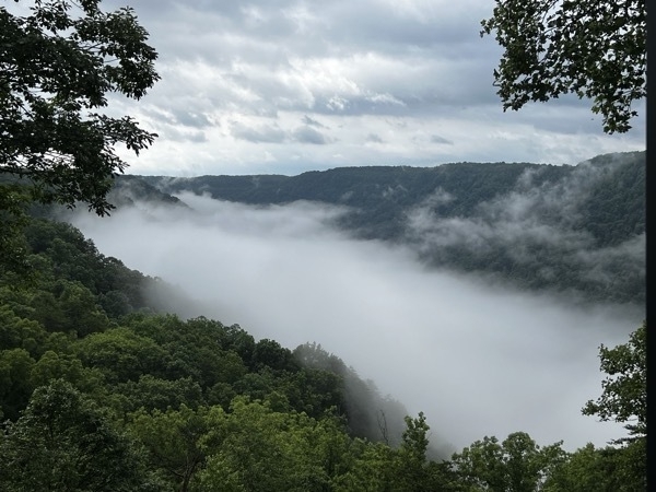
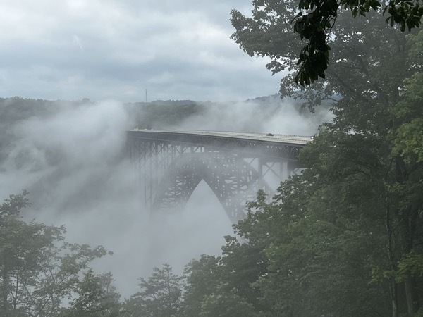


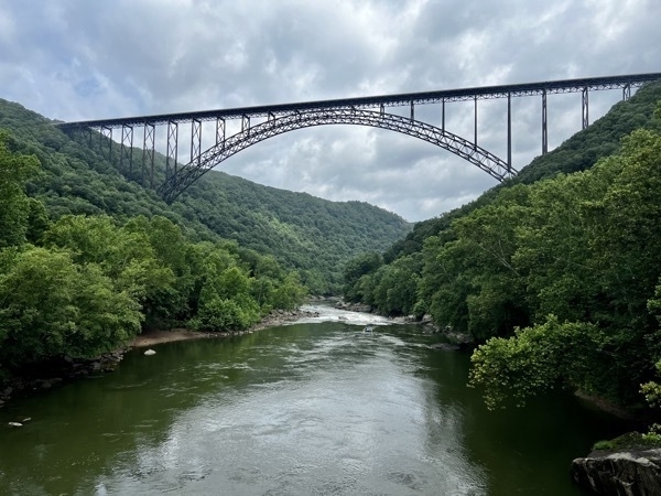
One we left the Visitor Center at the Bridge, we drove down to Montgomery.
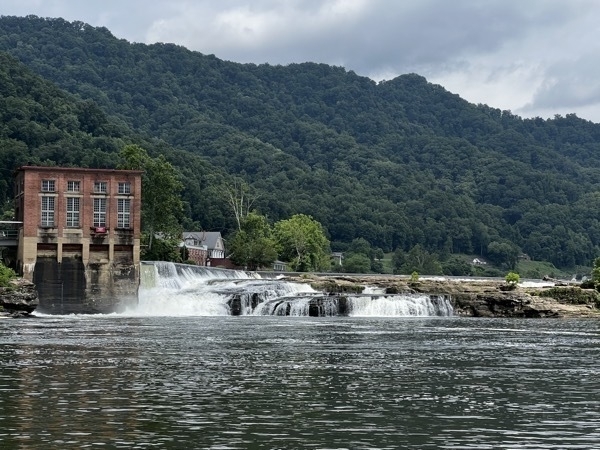
The Falls at Glen Farris
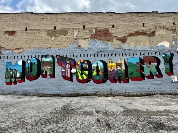
Nice painting of Montgomery on a store wall.
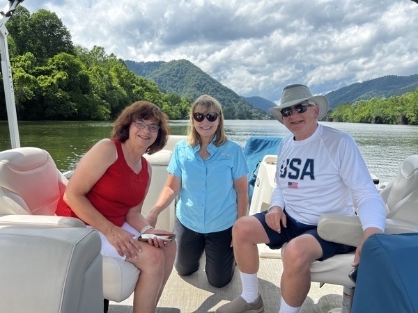
A boat ride on the Kanawha River with long-time friends Lou Ann and Gary.
-
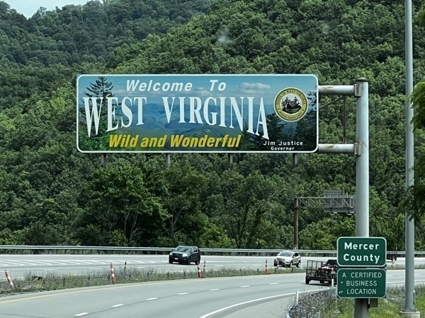
Wild, Wonderful West Virginia! - Beckley Exhibition Coal Mine
What a treat to be back in my home state. It’s been three summers since we’ve been back and it felt so good to be “home” again.
Our first stop was the Exhibition Coal Mine in Beckley. Along with the tour of the mine, there was also a coal camp community to tour. The community had an old school, church, superintendent’s house and a Batchelor’s shanty. It was a fascinating tour. I had never been in a coal mine nor seen a coal camp, although both existed close to where I lived.
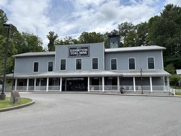
The Beckley Exhibition Coal Mine was once the Phillips-Sprague Mine which was operated in this location.
This mine was originally operated as a drift mine. A drift mine is an underground mine in which the entry or access is above water level and generally on the slope of a hill, driven horizontally into the coal seam. Commercial development of the drift mine began in 1905 and the first coal was shipped on January 4, 1906. Mine operations ceased in 1953, and the property was sold to the City of Beckley.
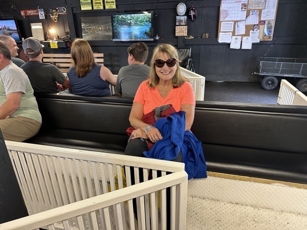
I am sitting in the tram car that is going to take us underground. Just for a frame of reference, the original mine ceiling was as high as the top of this white rail.
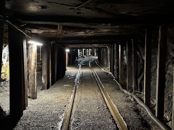 The original ceiling of the mine was 3’. The miners had to crawl in an out of the mine to work in this mine originally. The coal seam was only 18” high and they spent the day blasting and shoveling coal mostly from their stomachs and sometimes their knees.
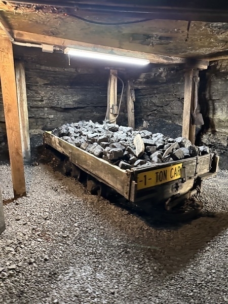
Originally, each man was expected to mine 10 TONS of coal by hand during their 12 hour shift for 20 cents a ton.
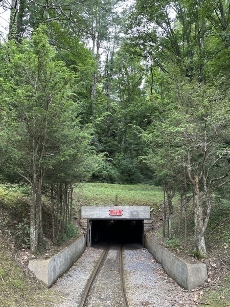
This is where we came out of the mine.
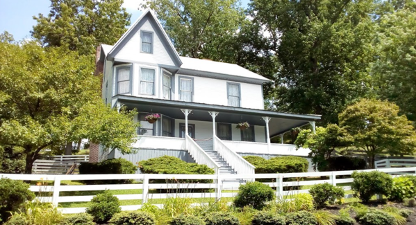
This is a mine superintendent’s house which was owned by the coal company just as all the buildings always were. The school, the church, the store, and all the homes.
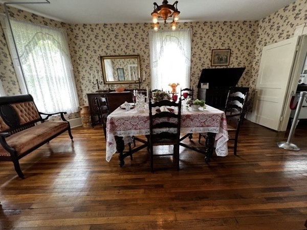
Dining room
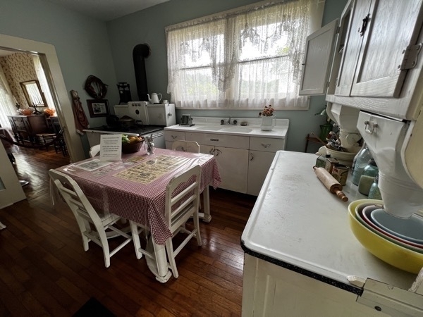
Kitchen
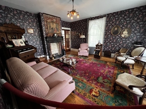
Living Room
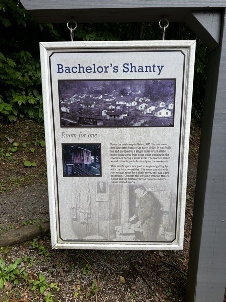
The sign above read, "From the coal camp in Helen, WV, this one room dwelling dates back to the early 1920s. It was built for and occupied by a single miner or a married miner living away from home while working in the coal mines during a work week. The married miner would return home to his family on the weekends.This simple space is a good example of getting by the bare necessities. It is warm and dry with just enough space for a chair, stove, bed, and a few essentials."
Complete interior of the Batchelor’s Shanty. There was a tub hanging on the from porch. I suppose it was used for bathing and to wash clothes??
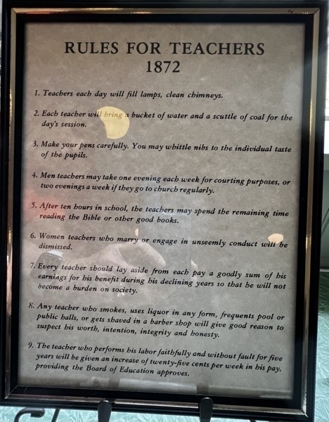
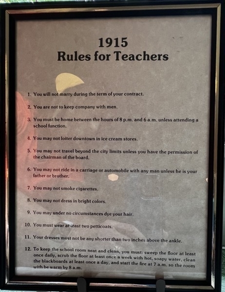
There also was a two-room school there. I didn’t take a picture of the outside, but I thought these two signs in a classroom were interesting.
-
Tennessee Aquarium in Chattanooga
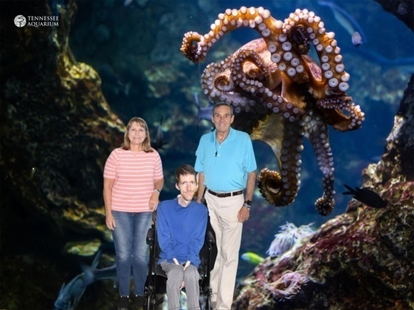
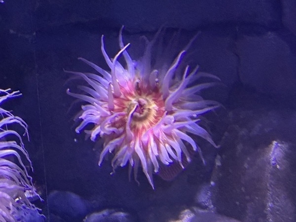
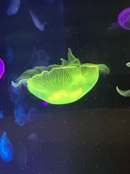
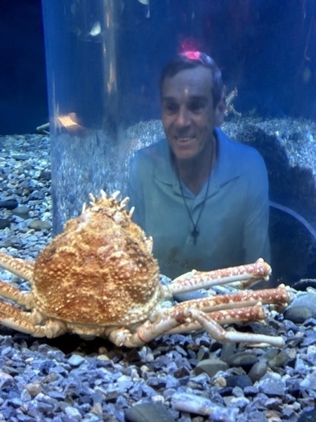
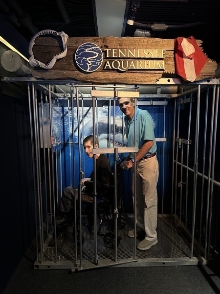
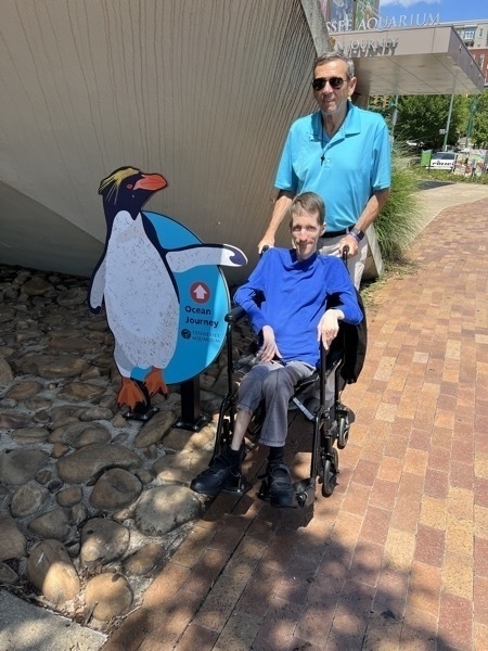
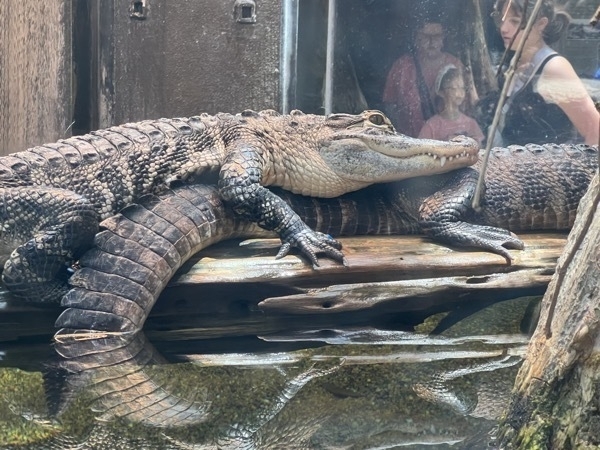
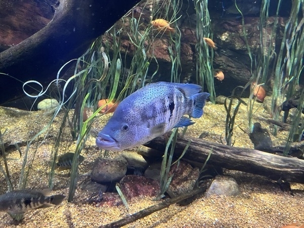
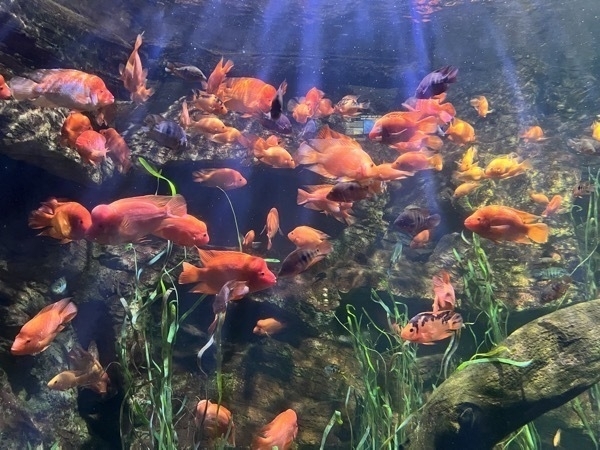
Our nephew Brian treated us to a day at the aquarium which was such a fun day. The Aquarium is located in Chattanooga, TN which is only about 25 minute from his home in Cleveland.
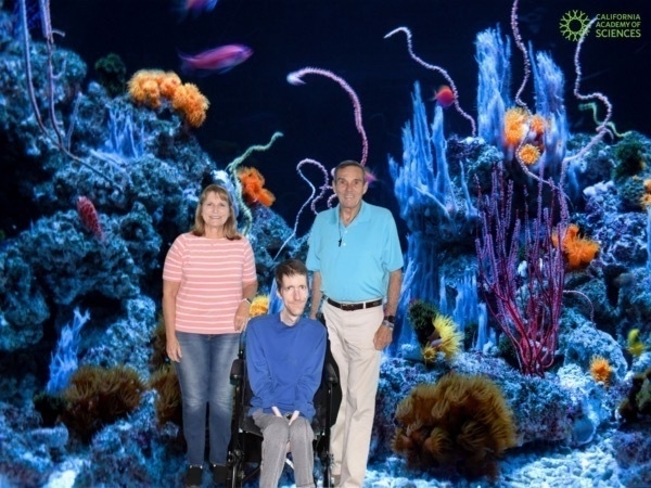
-
Chattanooga, TN--Ruby Falls
Ruby Falls on Lookout Mountain, Chattanooga
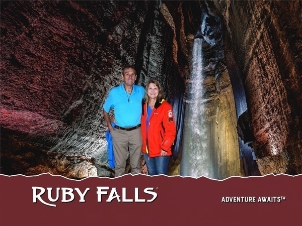
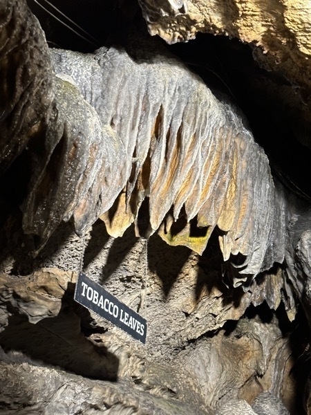
We started the day with a tour of Ruby Falls, a cave in Lookout Mountain The falls are located at the end of the main passage of Ruby Falls Cave, in a large vertical shaft. The stream, 1,120 feet underground, is fed both by rainwater and natural springs. It collects in a pool in the cave floor and then continues through the mountain until finally joining the Tennessee River at the base of Lookout Mountain. To get to the falls, we rode a glass-front elevator 260 feet into the mountain and explored the cavern trail which led nto the tallest and deepest cave waterfall open to the public in the United States.
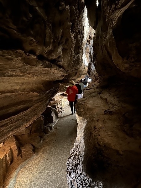
In 1905, the natural entrance to Lookout Mountain Cave was closed during the construction of a railway tunnel. In the 1920s, a cave enthusiast named Leo Lambert thought that he could re-open the cave as a tourist attraction, and formed a company to do so. He planned to make an opening further up the mountain than the original opening and transport tourists to the cave via an elevator. For this purpose, his company purchased land on the side of Lookout Mountain above Lookout Mountain Cave and in 1928 began to drill through the limestone.
In doing so, they discovered a small passageway about 18 inches high and four feet wide. He crawled through this passage for almost 17 hours and discovered the formerly hidden Ruby Falls Cave and its waterfall. On his next trip to visit the cave, Lambert took his wife Ruby, and told her that he would name the falls after her.
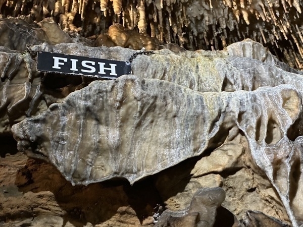
After discovering the cave where the Ruby Falls are located, the tunnelers kept digging to locate the original cave they were searching for, the Lookout Mountain caverns, which they reached 1,120 feet underground. On December 30, 1929 the Lookout Mountain caverns were open to the public, and by the following year in June, the Ruby Falls cave was expanded and opened as well.
Sunset Rock
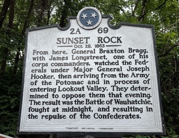
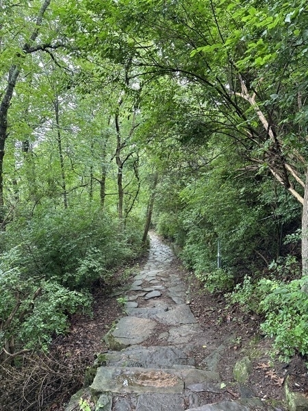
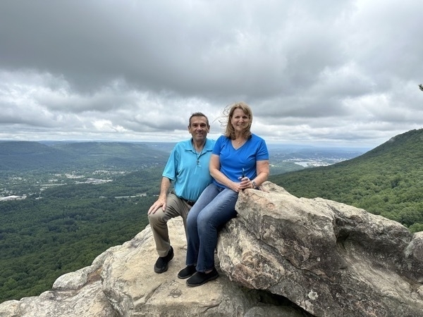
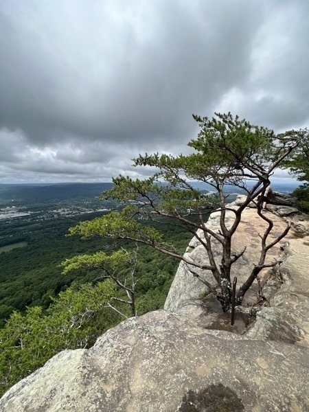
We continued driving from Ruby Falls about 2.5 miles up Lookout Mountain until we reached Sunset Point. We hiked a short, but dangerous trail from the car out to a steep sheer drop-off where there was a beautiful overlook of Chattanooga.
We ate a delicious lunch at Scotties on the River and then walked along the Chattahoogie River towards the Walnut St Pedistrian Bridge and alongside the Aquarium.
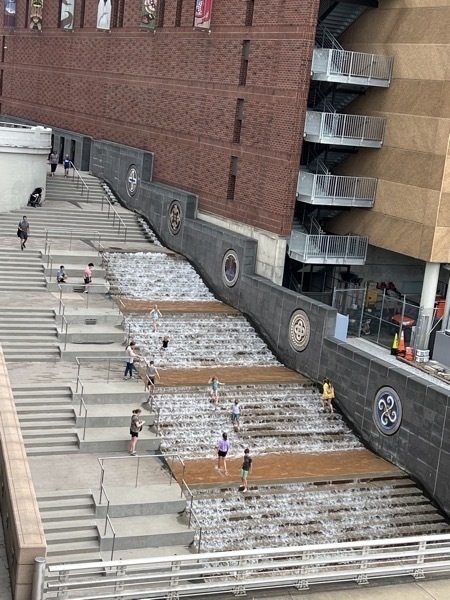
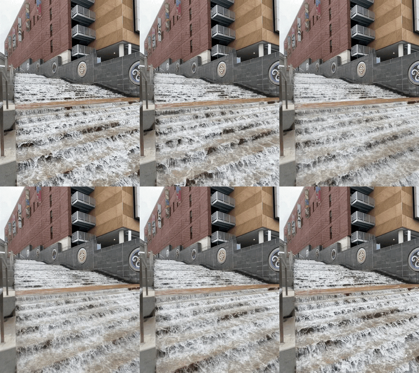
This water feature alongside the aquarium is a great place for children to play. Great idea for a hot day!
Trail of Tears
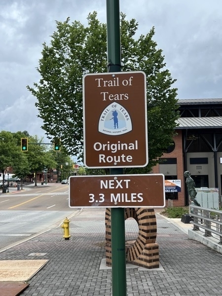
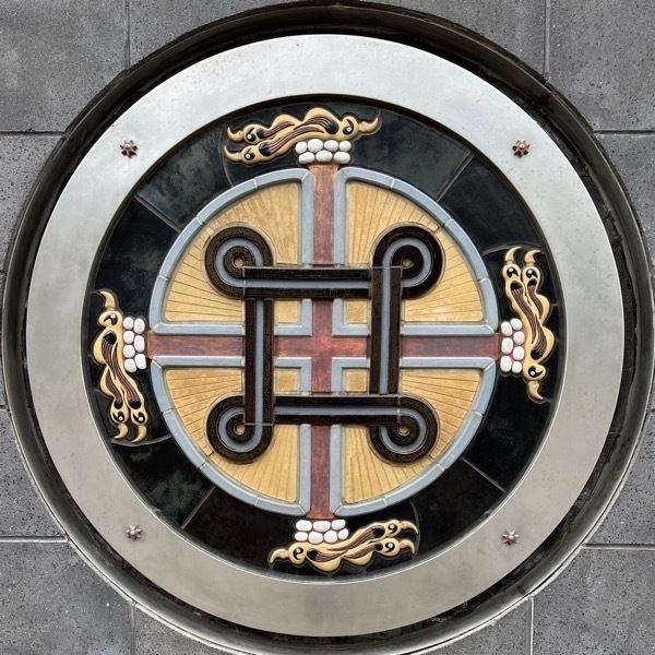
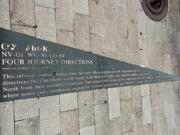
Four Journey Directions - This refined symbol dating from the early Mississippian Period represents the directions the Cherokees would travel. Like birds of flight, they endured endless migration North from their ancestral homeland, East toward the rising sun to a land that was only temporary. South where peace and contentment reigned for fourteen generations; and West where great upheaval, death and sorrow awaited.
Accommodations:
- We stayed at the Raccoon Mountain Caverns & Campground for $82.00 for one night. They didn’t have room for us the second night so we moved to a Cracker Barrel Parking Lot for the second night.
-
Virginia Creeper Trail and Backbone Rock Tunnel
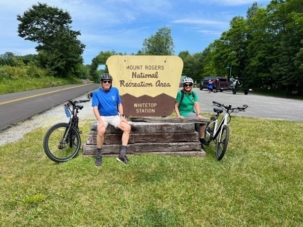
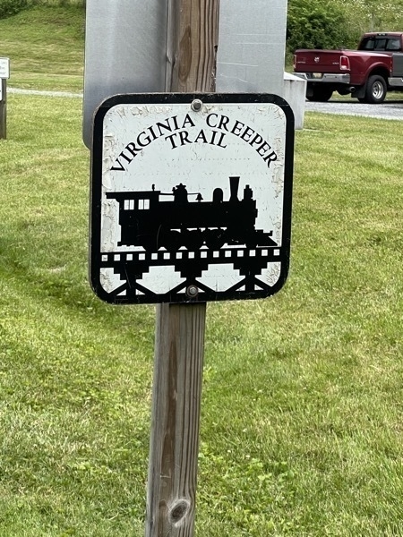
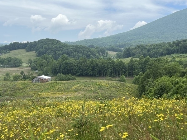
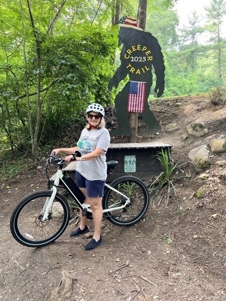
We paid for a shuttle to take us and our bikes from Damascus to the Whitetop Station near the top of the second highest peak in Virginia. The drive was about 35 minutes. The Creeper Trail meanders (mostly!) downhill through some spectacular scenery– open farmlands and fields, dense forests, Christmas tree farms, rushing streams and creeks. We only rode the 17 miles from Whitecap to Damascus, which crossed 28 trestles and bridges and two restored railroad depots. The VCT intersected the Appalachian Trail at a few points along our journey.
The elevation change along the 34-mile trail is moderate. Near the top of Whitetop Mountain, our altitude app showed 3563.79’ (as seen at the bottom of our picture. Damascus is a little over 1900’ – an elevation change of almost 1600’ in 17 miles (but we didn’t take a picture).
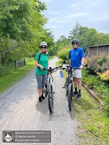
It took us about 3 hours to ride from Whitetop to Damascus after stopping for lunch at Hellbenders.
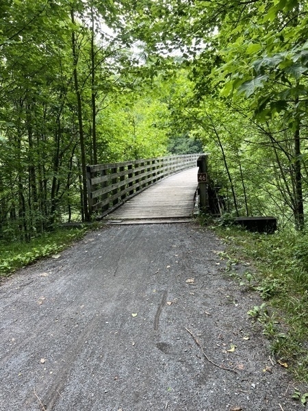
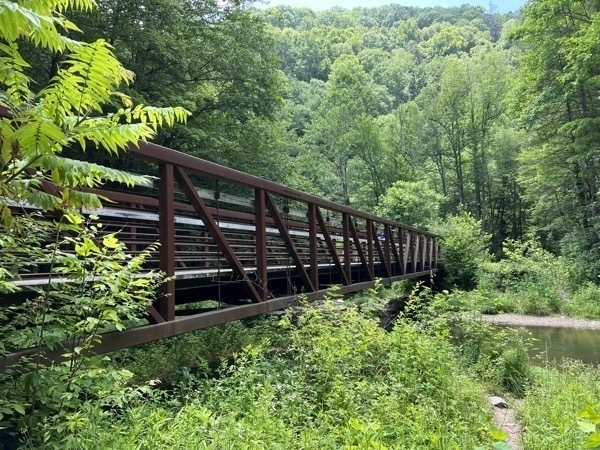
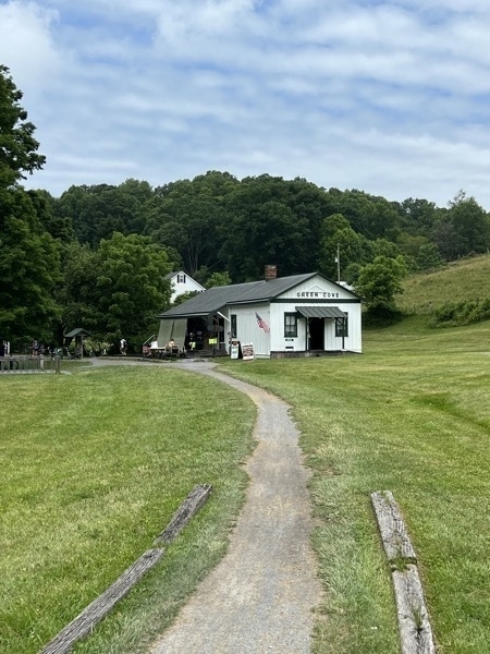
Green Cove Station was a rail stop along the Virginia Creeper Railroad that ran from Abingdon, Virginia, to Todd, North Carolina.Built by the Virginia Carolina Railroad about 1914, it also served as a post office, general store, and telegraph office
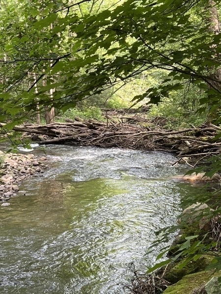
Beaver Dam
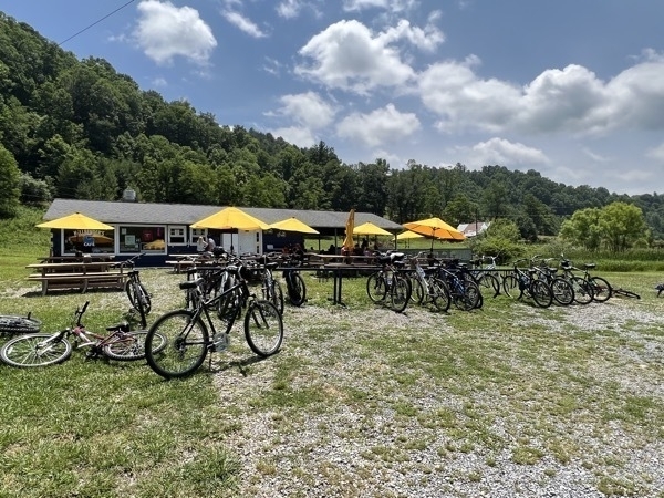
We stopped for a nice lunch at Hellbender’s Cafe
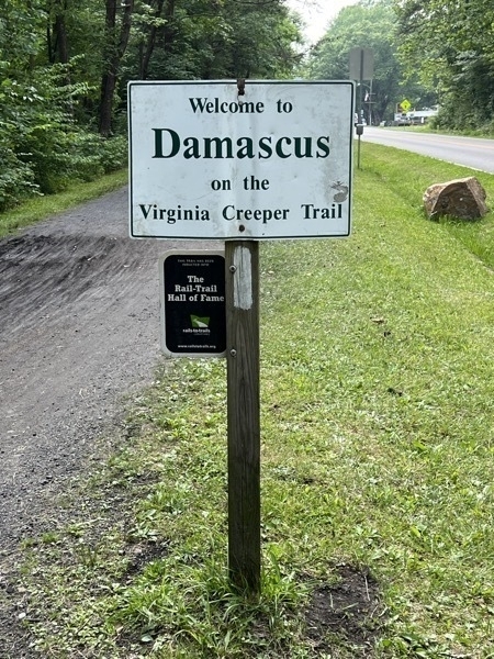
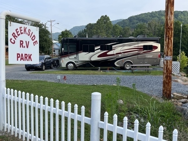
We stayed at the Creekside RV Park for two nights and paid $50 per night. It was only one block from the trail.
Backbone Rock Tunnel
The World's Shortest Tunnel, Backbone Rock, is both narrow and tall at 80 feet in height and only 20 feet long. Surrounded by the Cherokee National Forest, Beaverdam Creek carves its way through the mountains alongside the tunnel.
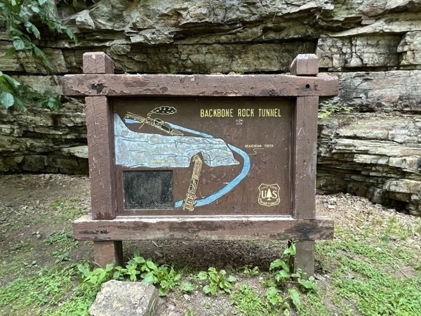
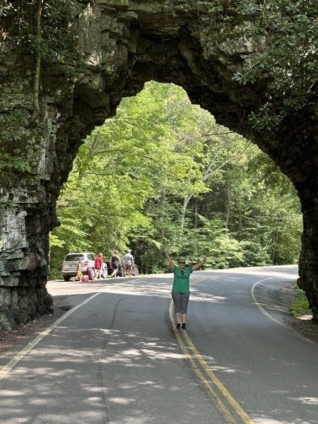
The cut into the arch to make it higher was so the locomotive steam stack would fit though.
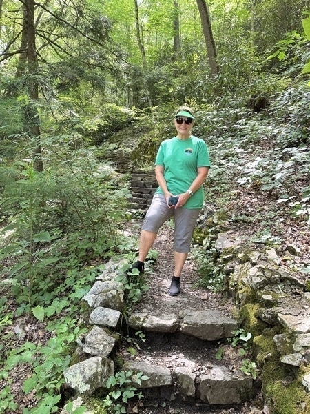
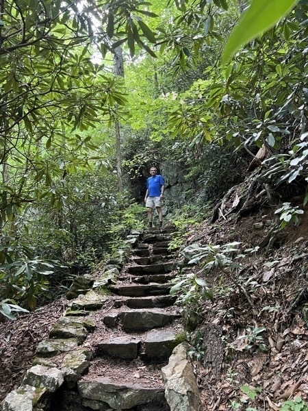
We hiked up a steep trail to walk over the top of the tunnel and then walk back down on the other side.
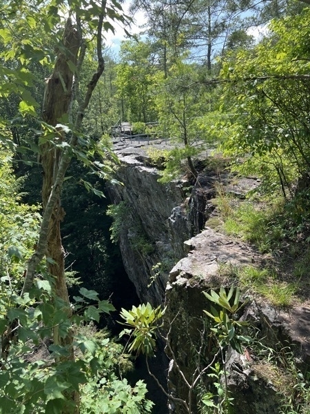
Where we walked across the top.
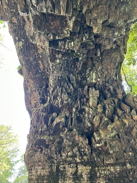
Looking up when under the tunnel.
subscribe via RSS